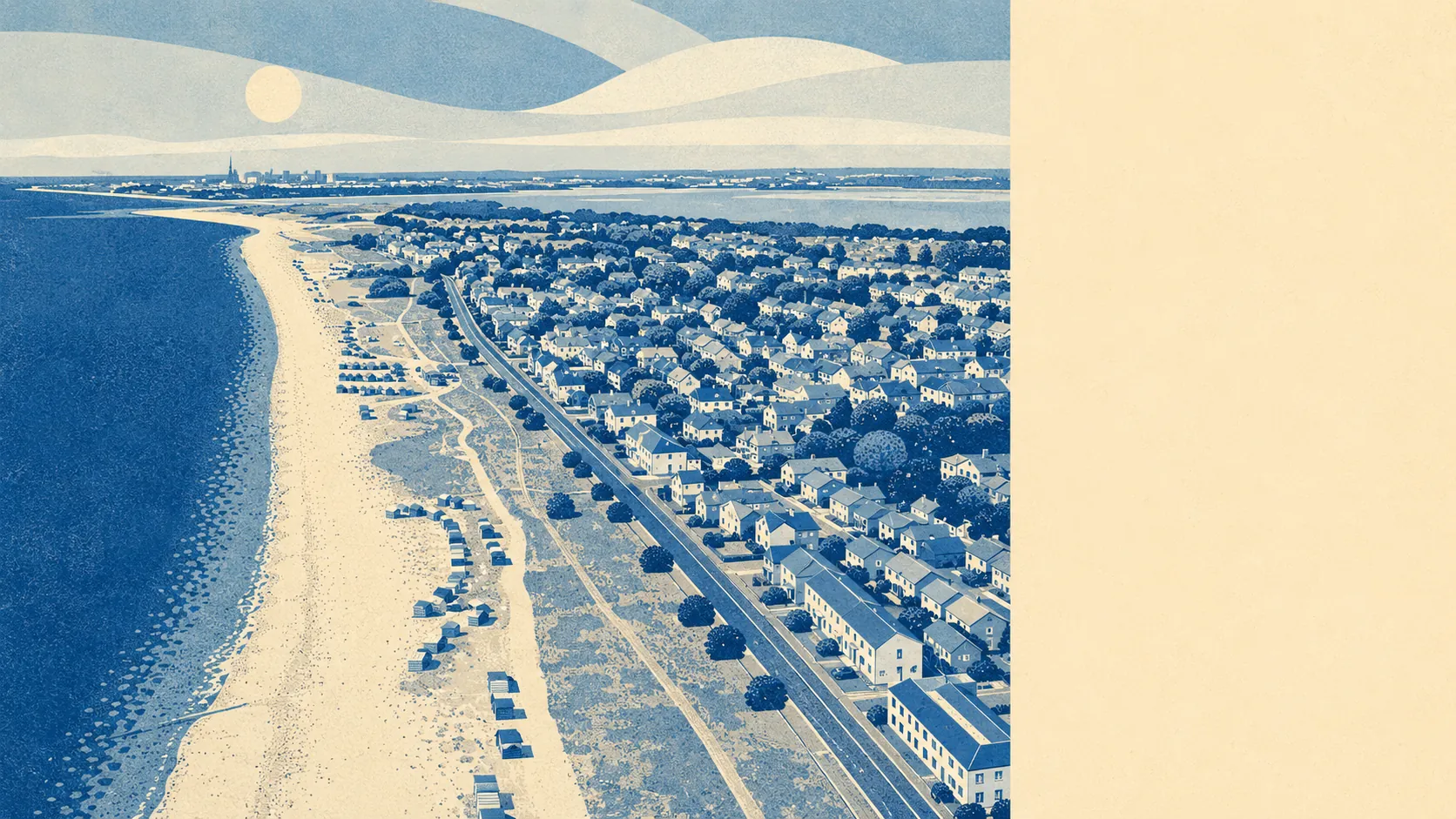
The area around Hayling Island is, to a degree most south-coast places cannot match, mostly water and mostly green. Two harbours flank the island, Langstone Harbour to the west and Chichester Harbour to the east. The Chichester Harbour Area of Outstanding Natural Beauty laps onto the island's eastern edge. Green space sits within around 270 metres of any address, and roughly seven in ten postcodes are within 500 metres of the coast. Most coastal places have to choose between a view and somewhere to walk the dog. Hayling has both.
Green space on the island is close to almost every address. The typical home sits within around 270 metres of a green space, and an average postcode has around ten green spaces inside a one-kilometre radius. Those are not the figures a built-up coastal town produces. They are the figures a place produces when most of its land has not been built on, when the parks and verges and patches of common are part of how the island is laid out, and when the bluespace sits, on average, about 420 metres from the front door and counts to around two dozen inside a kilometre. Anyone who has spent a Sunday looking for somewhere to walk a dog within the suburban density most south-coast towns have made of their seafronts would find Hayling's geometry something of a category mistake.
Around three percent of the island's land sits inside the Chichester Harbour Area of Outstanding Natural Beauty, but the area itself covers the harbour to the east and runs along most of that flank. The designation is national rather than local, and it carries weight in the planning system disproportionate to the share of land it covers. A smaller patch, around a fifth of one percent, sits inside Sinah Common, a Site of Special Scientific Interest at the south-western corner of the island. Ancient woodland does not feature, which is what you would expect on a former marsh. The designations the island carries are coastal and habitat-based rather than woodland-based, which fits the geography: the island is mostly low, mostly open, and mostly defined by its relationship with the harbours rather than any inland feature.
The island divides into clearly named clusters. North Hayling and Northney sit at the bridge end where the road crosses to the mainland. South Hayling, Mengham, Eastoke, Gable Head, Sea View, Selsmore and West Town sit toward the southern coast where the beach is. The geography in between is the same flat sweep of mostly post-war housing, with the harbour edge to either side and the East Winner sandbank visible at low tide off the southern shore. Beyond the bridge, the immediate mainland is Langstone village, then Havant town centre, with Emsworth to the east and Bedhampton, Drayton and onward to Cosham toward Portsmouth on the western side. The pedestrian ferry across the southern channel reaches Eastney on Portsea Island. The cycle network sits, on average, around 1.3 kilometres from any address on the island, with about three in ten postcodes falling inside the close-to-the-network band. The amenities are scattered rather than concentrated: there is no high street the island would call its own, which most residents have accepted as the trade for living on an island in the first place.
The area around Hayling Island is, by the brief's measure, as good as the rating system allows. Two harbours, a national landscape designation, around ten green spaces per kilometre, around two dozen blue spaces per kilometre, and a coast on every side. The surroundings are the value.