Winslow keeps its feet dry, and for a buyer that one unexciting fact does a lot to make the town worth the move. None of it falls in the river-and-sea flood zones. Only a handful of postcodes carry a serious surface-water flag. The insurance conversation is short, and the survey has one less chapter to dread.
On the Environment Agency's mapping, none of Winslow lies in flood zone 2 or 3, and no postcode falls inside a recorded historic flood outline. A wider measure counts every postcode on at least one flood indicator, surface water included. On that one, about 3% of postcodes show a high-risk flag, about 4% a medium one and about 15% a low one. About 2% of postcodes come under the Buckingham and River Ouzel Internal Drainage Board, which manages the ditches and watercourses around the edge of town. So in a Winslow survey, the section on water damage is usually shorter than the one on the boiler.
The people are mostly settled owners. About 69% of households own their home, and at the 2021 census the median resident was 46. The Office for National Statistics models gross household income at about £64,000 for the financial year to March 2023. That income is spread across the whole surrounding area. It is a market town run largely by people who have paid down a good part of the mortgage, and they expect to be consulted on anything that happens to the high street.
Transport is where Winslow asks for patience. At the 2021 census about 1% of working residents went to work by train. That was fair enough, because the town had no station when the census was taken. About half drove and about 38% worked from home. The East West Rail project has since built a new station on the western edge, planned to serve Milton Keynes and Oxford, and the census figures date from before it existed. The town has 26 bus stops, each averaging 23 departures on a weekday and fewer than one an hour at peak. The Department for Transport modelled journey times in 2019: about 33 minutes to the nearest large town centre by public transport and 22 by car, and close to an hour to a hospital by public transport against 26 minutes by car. Bus timings like these go out of date as routes are cut. Broadband is the opposite story. About 94% of premises can get gigabit speeds and about 98% of the area gets 4G or 5G from every operator. The fibre reached Winslow long before the trains came back, and the commuting figures show it.
In the Land Registry's twelve months to April 2026, 66 homes sold at a median of about £377,500. Terraces went for a median of £292,500 across 22 sales, semis for £360,000 and detached houses for £480,000. Only four flats changed hands, at around £280,000, which is too few to mean much and says a lot about who the town was built for. Band C is the most common council-tax band, and about 20% of homes are in bands A or B.
Renting costs about £1,470 a month, the typical private rent across Buckinghamshire as of April 2026. That figure is a mean for the whole county, so it is not a measure of Winslow's own lettings. Renters are a minority here. Most of the stock was put up with somebody's mortgage in mind.
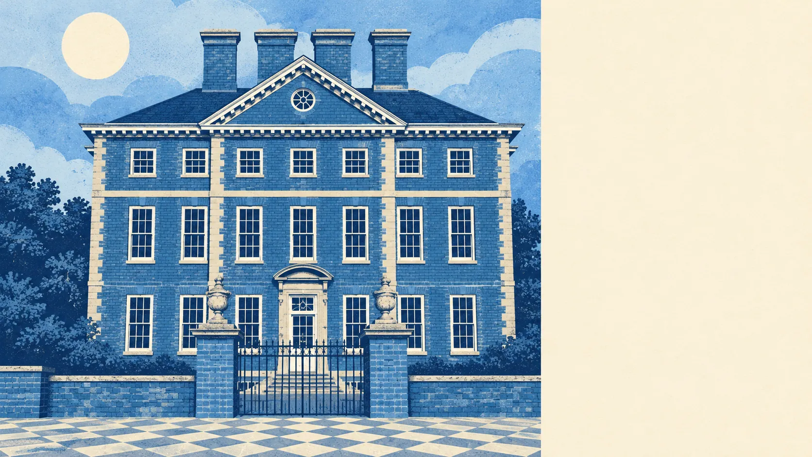
The council-tax valuation list covers every home, and on it detached houses make up about 30% of the town, terraces 29%, semis 17%, bungalows 12% and flats 11%. Only about 15% was built before 1930. Energy ratings are respectable: about 60% of certificated homes are rated A to C and about 9% E or worse. About 83% of homes are on mains gas, and only about 5% rely on electric heating alone. Winslow Hall gets the photographs, though the bungalows outnumber the flats.
Thames Valley Police figures put the crime rate at about 62 per 1,000 residents in the year to May 2026, roughly 5% below the Buckinghamshire average. In a town of this size a handful of incidents can move that figure either way. The fair reading is that crime here does not stand out from the county.
Heritage applies some real limits. Winslow has 82 listed buildings, one of them Grade I, two Grade II* and 79 Grade II, among them Keach's Meeting House. Two conservation areas, Winslow and Shipton, fall within the town. A listed home needs consent for most changes inside and out. In a conservation area, windows, extensions and demolition get closer attention from Buckinghamshire Council's planners. Offa of Mercia granted the place to St Albans Abbey, and the name means Wine's burial mound. A town named after a grave has had a very long time to get used to people objecting to change.
Open space is close. The nearest green space averages about 170 metres from a front door, with about 13 within a kilometre. Water is about 690 metres away on average, and the National Cycle Network passes within about 240 metres of most homes. A shared path to Buckingham was finished in 2017. Beyond that are the villages this page also covers: Addington, East Claydon, Granborough, Hoggeston and North Marston on one side, and Great Horwood, Little Horwood, Mursley and Swanbourne towards Milton Keynes. Out there the green space stops being a park and becomes the view.
Winslow is right for families who want a house with a garden, for people who work from a desk at home, and for anyone who already counts the drive as part of the deal. Buyers who need a train every day without fail should look elsewhere until the new line has proved itself. So should anyone hoping for a flat, because hardly any come up.
Flood risk is the thing a buyer here can mostly set aside, which leaves the worry for the bus timetable instead. Winslow is a better bet than its sleepy reputation suggests, as long as you own a car and are happy for the rest of the world to come to you.