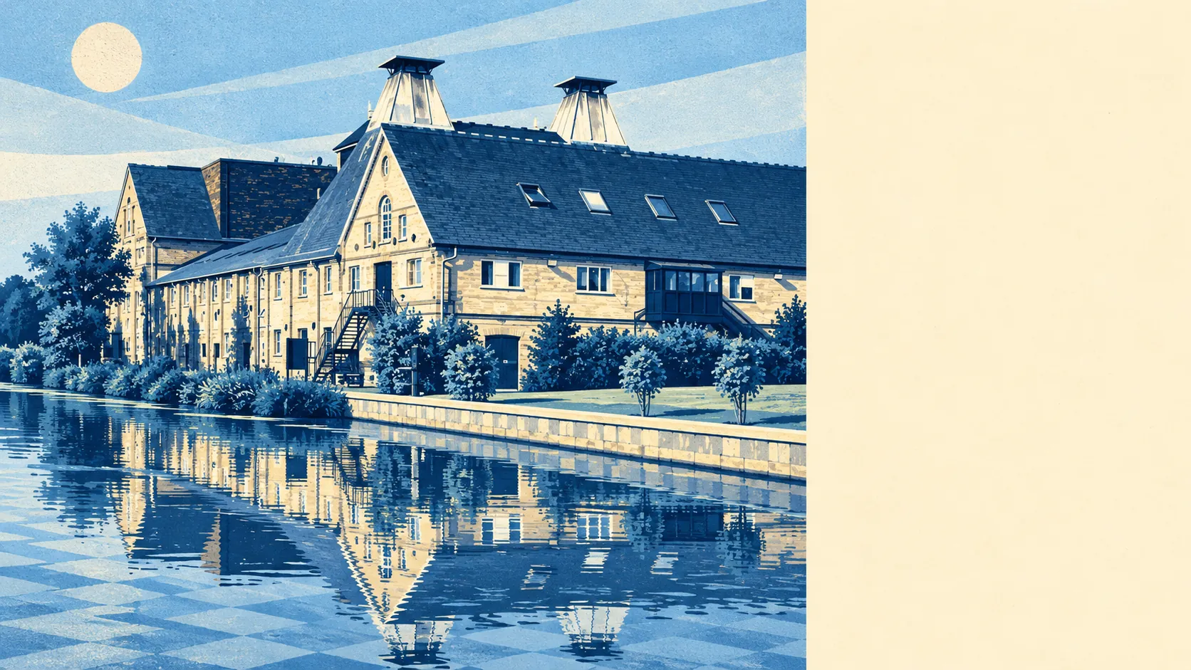
The country around Sawbridgeworth starts almost at the front door, and it is mostly river and fields. Green space is a couple of minutes' walk from the average home. There is water nearby wherever you live in town. The pubs outnumber the restaurants by more than two to one. It is ordinary Hertfordshire countryside, close and easy to use, without any famous scenery attached.
The average home is about 160 metres from the nearest public green space, with about 20 green spaces within a kilometre. Pishiobury Park lies to the south, Town Fields sits behind Bell Street, and farmland closes in on every side that the town hasn't built over. Nobody in Sawbridgeworth needs the car to walk the dog.
Water is about 220 metres from the average front door, and there are about 52 bodies of water within a kilometre once the River Stort, the Stort Navigation and every backwater and pond along the valley are counted. The river marks the county boundary, so the far bank of a riverside walk is already in Essex.
The nearest stretch of the National Cycle Network is about 1.1 kilometres away on average, and about 12% of postcodes are close to it. None of the area is ancient woodland.
On the high street, the local amenity count lists 116 shops, 27 pubs and 10 restaurants. With those numbers, the town clearly prefers a drink to a booked table.
East Hertfordshire's council area recorded fine-particle pollution of about 7.2 micrograms per cubic metre in 2024.
The town's character comes from the old centre and the villages around it. Great St Mary's and the conservation area are at the heart of it, the river and the old maltings run along the eastern edge, and Lower Sheering continues across the county line. Around the town are High Wych, Spellbrook, Gilston, Sheering, Little Hallingbury and Hatfield Heath, mostly villages people drive through on the way to Harlow or Bishop's Stortford and then start looking at on property websites. Sawbridgeworth has been twinned with Bry-sur-Marne in France since 1973 and with Moosburg an der Isar in Germany since 2018, which keeps the town's international links rather more active than its bus service.
Private gardens add up to about 139,000 square metres for every 1,000 residents, across all six of the town's statistical neighbourhoods. That is a lot of lawn, and given that most of the housing is post-war, the gardens tend to be generous family plots, not the long, narrow strips behind a Victorian terrace.
The business rates valuation list holds 333 premises in the area, led by 144 offices and 76 shops, with smaller numbers of workshops, warehouses and others behind them. That list counts rateable premises, not businesses open and trading, and it counts shops differently from the amenity tally above, so the two numbers will never quite agree. A town where offices outnumber shops on the rating list is one where a lot of people work locally, in units most passers-by would never notice.
The Food Standards Agency has rated 54 food outlets in the area, and about 76% hold the top score of five. Only about 2% sit at the bottom of the scale.
No area of outstanding natural beauty, site of special scientific interest or ancient woodland overlaps the town. Sawbridgeworth's protection comes from its buildings, not its landscape, and the countryside around it is working farmland and river valley that nobody has thought to put a designation on.
The surroundings are one of Sawbridgeworth's real strengths. Green space, water and open country are all a short walk from almost every home, with no famous landmark that draws in visitors on a sunny Sunday.