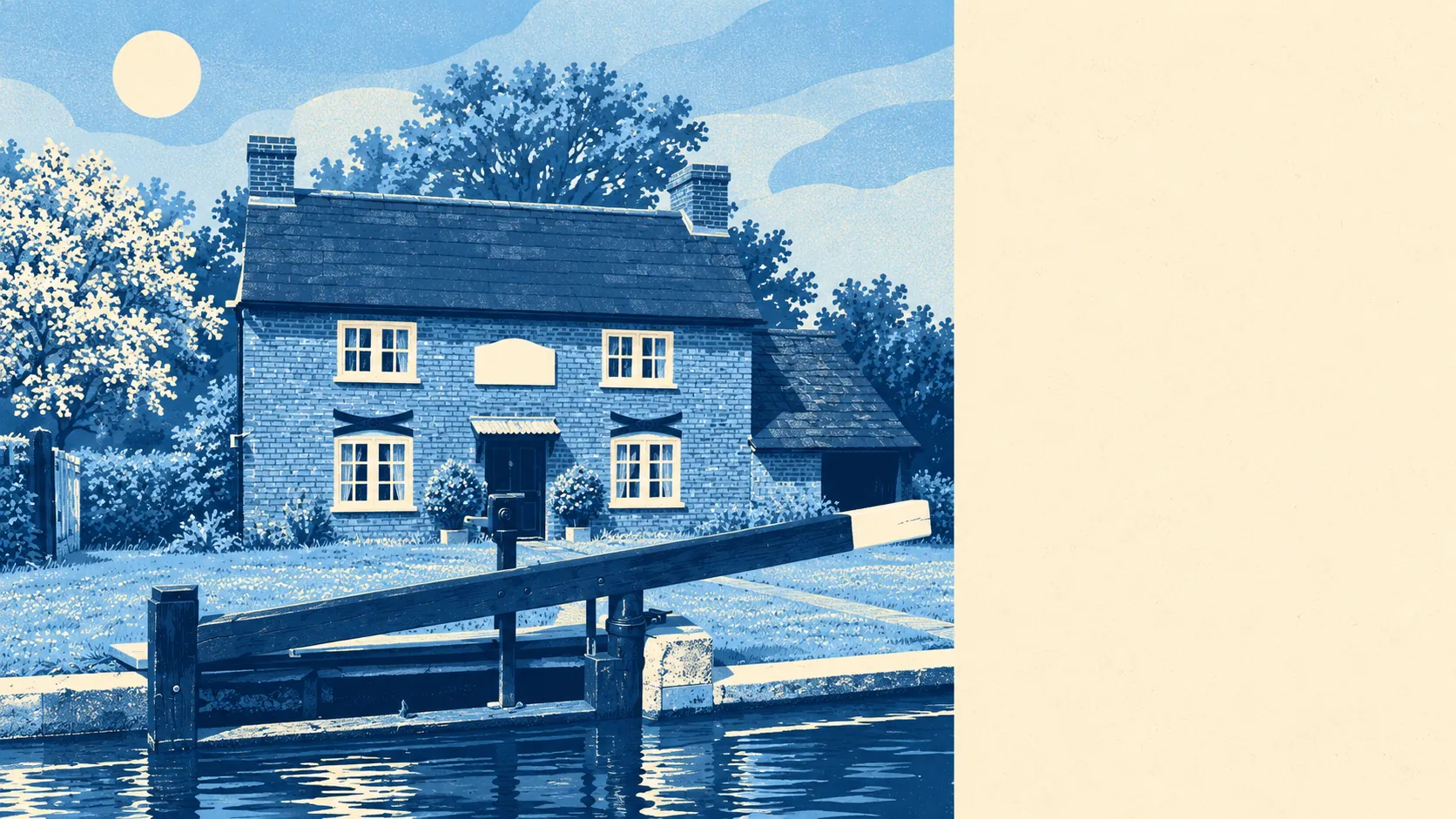
Mostly no, and the risk that does exist stays close to the water the village grew up around. About one postcode in fifty is in the highest river flood zone. None of the properties rated at high risk from rivers is a home. The only flood on record came out of a sewer. For most of New Haw, the River Wey is something to look at.
The Environment Agency puts 2% of New Haw's postcodes in Flood Zone 3, the high-probability band for flooding from rivers and the sea, and none in Flood Zone 2, the medium-probability fringe that lies beyond it. The two zones do not overlap, so a zero in Flood Zone 2 means there is no wider band of moderate risk around that small core. With the River Wey, the Wey Navigation and the Addlestone branch of the River Bourne all close to the village's south-western edge, the exposed postcodes are where a map would lead you to expect them.
Surface water is a separate risk, the kind caused by rain that has nowhere to go and not by a river overtopping its banks. The Environment Agency has one recorded flood event for New Haw, in January 2003, from a sewer, where the channel could not carry the water and there were no raised defences. Surface water is counted in the postcode figures further down this page.
The Environment Agency's climate-adjusted mapping, which allows for heavier rainfall and higher river flows in future, still puts about 2% of postcodes in the high-risk zone. The extra rain in that scenario does not reach any further into the village.
For insurance, the few properties on or near the river flood zone will be the ones asked the awkward questions, and the rest of New Haw should look like an ordinary Surrey village to an insurer. If you are buying near the Wey or the Navigation, put the exact address into the Environment Agency's long-term flood risk service and get a quote for cover. Do both before paying for a survey, because the premium tells you how worried the insurers are.
A wider measure counts postcodes that come out high, medium or low on at least one flood measure, including surface water. On that basis, about 4% of New Haw's postcodes are high, 18% medium and 33% low. These overlap with the flood-zone shares and are a separate measure, so the two should never be added together. The bigger medium and low shares mostly reflect rainwater with nowhere to drain.
Counting buildings is more useful than counting postcodes. Only six New Haw postcodes carry any river-or-sea risk on the Environment Agency's mapping, and they contain 134 properties. Of those, 11 are rated high risk, seven medium and 20 low. None of the 11 high-risk properties is residential. Every postcode not listed carries no river-or-sea risk at all on that mapping.
The Agency's flood-extent modelling puts 2% of postcodes in the high-risk extent without defences and the same 2% with them. "Defended" only means that a defence exists in the model. It does not mean a wall stands between that postcode and a dry carpet. The figure stays at 2% either way, so modelled defences change nothing for New Haw.
The nearest tide gauge to New Haw is at Portsmouth, where sea level rose by an average of about 2 millimetres a year between 1962 and 2023. That figure describes the gauge on the coast and its records. New Haw is far up the Wey, and the sea has never been its flood problem.
New Haw is one of the lower-risk places on the river. The exposure is real but small, fixed to known streets by the water, and nearly all of it is away from people's homes.