Yes, and it is a commuter village that has largely given up commuting. Eight in ten households own their home. Four in ten workers did their job from home at the last census. Fewer than one in thirty took the train. New Haw works best for people who have already got where they were going.
The housing has no single type in charge. On the council-tax valuation list, which covers all 2,040 homes, semi-detached houses make up 29%, detached houses 23%, terraces 21%, flats 16% and bungalows 8%. Only 12% were built before 1930. Most of the village came with the commuter boom of the 1950s and 1960s, when New Haw spread south-west down Woodham Lane towards West Byfleet and Woodham. The energy certificates follow that history. Of the 563 homes with one, 41% are in band D, 46% reach band C or better and 13% are in band E or below. About 80% heat with mains gas and 9% are electric-only. A post-war semi with a later extension is the default New Haw purchase, and its energy rating usually tells you which decade the extension came from.
The Land Registry's last twelve months, to late April 2026, recorded 36 sales at a median of £480,000. Flats went for a median of about £230,000 across eight sales, terraces £475,000 across seven, semis £480,000 across 13 and detached houses about £692,500 across eight. Terraces and semis fetch almost the same money here, so the extra wall buys almost nothing. The most common council-tax band is E, and only 12% of homes fall into bands A or B. A first-time buyer hoping to start small has eight flat sales a year to fight over, and the people they are bidding against are often downsizers with a semi to sell.
Runnymede's typical private rent is about £1,570 a month across the whole borough, and that average fell by about 3% in the year to April 2026. Only 15% of New Haw households rent privately, so a borough-wide figure is doing the work that a village this small cannot do for itself. Tenants will find the choice thin and the rental stock leaning towards whatever the owners haven't sold yet.
Surrey Police recorded crime in New Haw at about 80 offences per 1,000 residents over the year to May 2026, roughly 9% below the Runnymede average. The mix leans a little more towards anti-social behaviour and shoplifting than the national pattern, though the totals are small enough that a handful of incidents moves those shares by several points. A safe Surrey village with ordinary Surrey problems.
Byfleet & New Haw and West Byfleet stations are both within reach, and at the 2021 census only 3% of working residents used the train to get to work. Nearly half drove and 39% worked from home. The ten bus stops average about 24 weekday departures each, which works out at roughly one bus in the peak hour. Gigabit broadband reaches 92% of premises and superfast 98%, and every postcode gets a 4G or 5G signal from at least one operator. In New Haw, the fibre does more of the commuting than the railway.
The Environment Agency puts about 2% of New Haw's postcodes in the highest river-and-sea flood zone. A wider measure, counting postcodes on at least one flood indicator including surface water, puts about 4% at high risk and 18% at medium. The one recorded flood event on file was a sewer flood in January 2003. Green space is close, with the nearest an average of about 220 metres away and around 13 within a kilometre, and the water is closer still at about 140 metres. The Wey Navigation climbs three steep locks through the village and the Basingstoke Canal starts nearby. For most front doors the canal towpath is nearer than the park, and in a village that grew up around a waterway, that is the right way round.
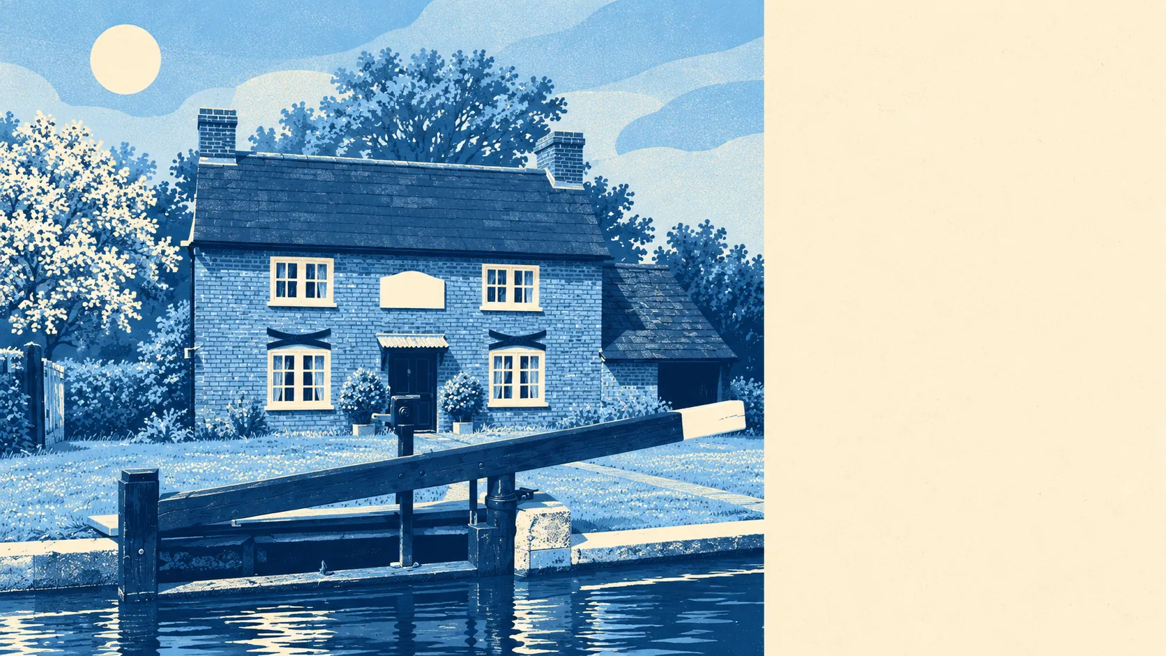
Heritage rules barely touch New Haw. The village has one listed building, the Grade II lock-keeper's cottage from 1782, and no conservation area falls within its count. That cottage was rebuilt with steel beams above the ground-floor windows after a gas explosion and fire in 1982, which sets a fairly relaxed tone for everyone else's alterations. Homes backing onto the canal are worth checking against the Wey Navigation conservation area, which follows the water and may catch a garden boundary that the village count misses. Away from the towpath, an extension here is a matter for ordinary planning and the neighbours' patience.
About 80% of households own their home, the typical resident is 42, and the Office for National Statistics models gross household income at about £68,500 for the financial year to March 2023. More than half of households run two or more cars. New Haw is owned, middle-aged and comfortable, and the drive is usually full.
New Haw suits a family buying its second or third home, earning well, working at least partly from home and wanting a semi with a garden, a junior school within walking distance and freedom to build out the back. It suits downsizers who want a bungalow near the water and Weybridge or Woking within a short drive. It also suits anyone who has spent years arguing with a conservation officer and would like to stop.
It suits people who need a cheap way in less well. Flat sales are rare and band E is the village's ordinary council-tax bill. Anyone who wants a train-first life should know that hardly anyone here lives one, and the bus timetable explains why. Buyers after period character will find 12% of the stock built before 1930 and one listed cottage, and that cottage has steel beams in it.
New Haw is a good place to live, and above average once everything is weighed. Its real strength is freedom: one listed building, no conservation area on the village count, and a post-war stock built to be extended. The weak spot is value. A £480,000 median buys a semi in a village where the semi and the terrace cost the same, and the cheapest entry is a flat market with eight sales a year. People pay that for a settled owner-occupied village with fast broadband and the canal at the end of the road, and most of them then stay put and work from the back bedroom.