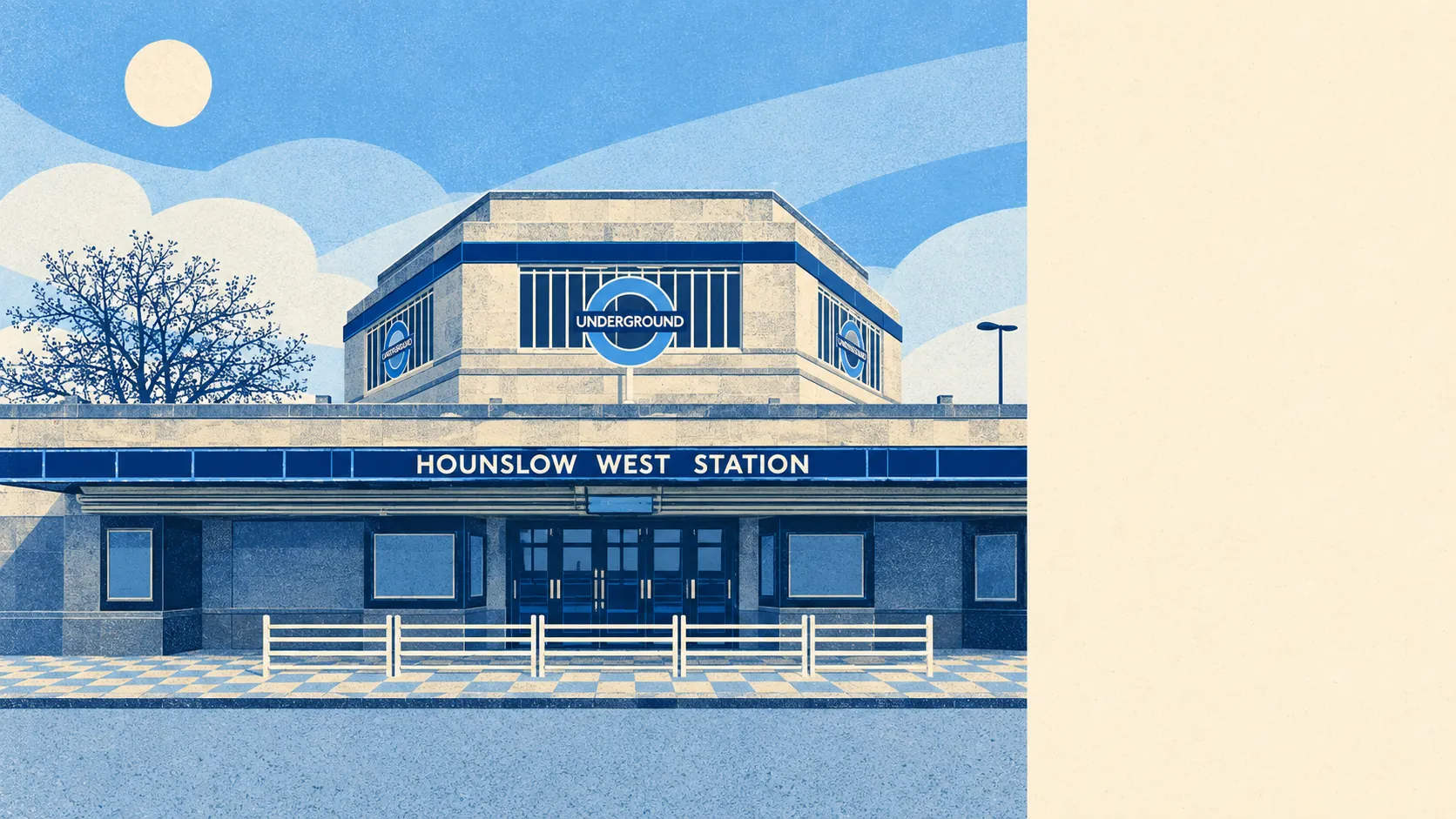
Hounslow West is built tight, with open grass at the end of almost every road. The nearest green space is usually a couple of minutes' walk away. Water is a little further. There are two pubs. No protected countryside lies anywhere inside it. It is crowded outer London with more parks than its traffic would lead you to expect.
The average home in Hounslow West is about 136 metres from the nearest public green space, and about 26 green spaces lie within a kilometre. A park within a couple of hundred metres is normal here, which in a neighbourhood this dense counts as a stroke of luck in the planning.
Water is further off. The nearest blue space, a river, lake or pond, is about 805 metres away on average, and about 12 such places lie within a kilometre. None of them is on the doorstep, but most homes have several within reach.
The National Cycle Network is about 5.9 kilometres from the average home, and no part of Hounslow West counts as close to a route. A leisure ride starts with a few kilometres of ordinary road first. There is no ancient woodland in the area.
The rated-premises list for Hounslow West counts 135 shops, 9 restaurants, 2 pubs and 297 offices. An area with 297 offices and 2 pubs was clearly laid out for working more than for a night out.
Fine particles in the air across the London Borough of Hounslow measured about 8.6 micrograms per cubic metre in 2024. That is a borough-wide figure, so a home next to a main road and one on a back street both get the same number.
The neighbourhood is post-war semis and terraces around a tube station, with Hanworth to the south as part of the same patch. Neighbouring places include Feltham, Heston, Cranford and Hounslow. The wider area holds the conservation areas of Cranford Park, Osterley Park and Hanworth Park, the big green estates locals head for when the corner park is not enough. Hounslow Cavalry Barracks gives the area its one surviving trace of a grander past.
Private gardens add up to about 35,000 square metres for every 1,000 residents, according to the Office for National Statistics' garden measure. That is the figure for space people actually have of their own, and the semis and terraces mean most houses come with a patch out the back. The flats are where the garden becomes the park down the road.
The business rates list holds 842 rateable premises in the area. Offices are the biggest category with 296, followed by 134 shops, 105 car parks and 92 warehouses. Those are premises on the valuation list, which is not the same as businesses currently trading. On those numbers, Hounslow West has more car parks than restaurants by a factor nobody needs to calculate.
Of the 141 food premises given a hygiene rating, about 55% hold the top score of five, and about 4% sit at the bottom of the scale. The Food Standards Agency's website carries the score for every one of them, so the takeaway nearest a new house is easy to check before the first order.
No protected landscape overlaps Hounslow West. It has no area of outstanding natural beauty, no site of special scientific interest and no ancient woodland. Every bit of green here is the ordinary kind people use for dog walks, football and the school run, without a conservation officer counting the orchids.
The surroundings are one of Hounslow West's real strengths. The green space close to almost every front door matters more than any shortage of pubs, scenery or protected land.