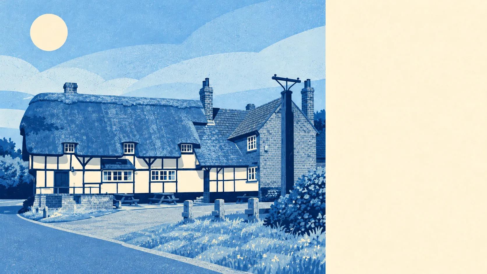
The area around Aston Clinton is mostly hills, water and fields, and it is the main reason people move here. A park is a few minutes' walk from most front doors. Water is closer still. The Chilterns take up the southern skyline. Nightlife means a pub and a towpath walk home.
The typical home in the Aston Clinton area is about 270 metres from public green space, with about 13 green spaces within a kilometre. That is a short walk for almost everyone, and nobody has to drive to stretch their legs.
Water is nearer still. The average home is about 230 metres from water, with about 25 bodies of water within a kilometre, mostly thanks to the village sitting between the Wendover and Aylesbury arms of the Grand Union Canal. Startop's End, Marsworth and Wilstone are all close, and for anyone who likes their walks flat and wet, the network on the doorstep is hard to beat.
Cyclists have less to cheer. The nearest stretch of the National Cycle Network is about 5.8 kilometres from the average home, and no postcode in the area is close to it. Cycling here means country lanes and the canal, or loading the bike on the car first.
Across the wider postcode districts around the village, the rating records list 147 shops, 45 pubs, 17 restaurants and 288 offices. For a cluster of villages, that is a lot of pubs and not many places to eat a meal sitting down.
Buckinghamshire recorded fine-particle pollution of about 7 micrograms per cubic metre in 2024, a county-wide figure, not a reading from the village itself.
About 8% of the area falls inside the Chilterns Area of Outstanding Natural Beauty, the national landscape designation that covers the hills to the south. There are no sites of special scientific interest and no ancient woodland within the area itself. The protected countryside is next door, and the village is mostly farmland, canal and housing below it.
The surroundings are a mix of country estates and canal villages. Halton, Buckland and Wendover keep their old cores under conservation area protection, Tring Park lies over the county border to the east, and hillforts and barrows line the ridges, from Boddington Camp to Cholesbury Camp. Two Roman roads, Akeman Street and Icknield Way, still form the village's main streets, and the builders of the bypass turned up a Saxon cemetery on the way through. The land has had residents for a long time, and nobody here has ever been short of somewhere to walk.
Private gardens are generous. The Office for National Statistics' garden measure puts the area at about 201,000 square metres of private garden for every 1,000 residents, which fits a village where most homes are detached or semi-detached houses on proper plots. Lawnmower ownership is presumably universal.
The council's rating list holds 185 business premises in the area, mostly small workshops, industrial units, offices and shops. That is a count of premises on the valuation list, some of which may stand empty, and it describes a working village more than a retail one.
The Food Standards Agency has rated 46 food premises in the area, and about 94% of them hold the top score of five, with about 2% at the bottom of the scale. The kitchens are clean, and the trouble is finding one with a free table.
The surroundings are one of Aston Clinton's real strengths. Hills, canals and big gardens come with almost every address, and buyers who want those things will find few villages in the county that do them better.