Greener and wetter than anyone driving through would expect. A park is a couple of minutes' walk from most front doors. Water is barely further. Private gardens are a decent size. For a town hemmed in by a motorway, it has a surprising amount of outdoors.
Green space is close everywhere. The nearest is about 150 metres away on average, and there are about 24 green spaces within a kilometre of the typical home. Narrow strips of green belt separate the town from Weybridge, Chertsey and Ottershaw, so the countryside starts almost where the streets stop.
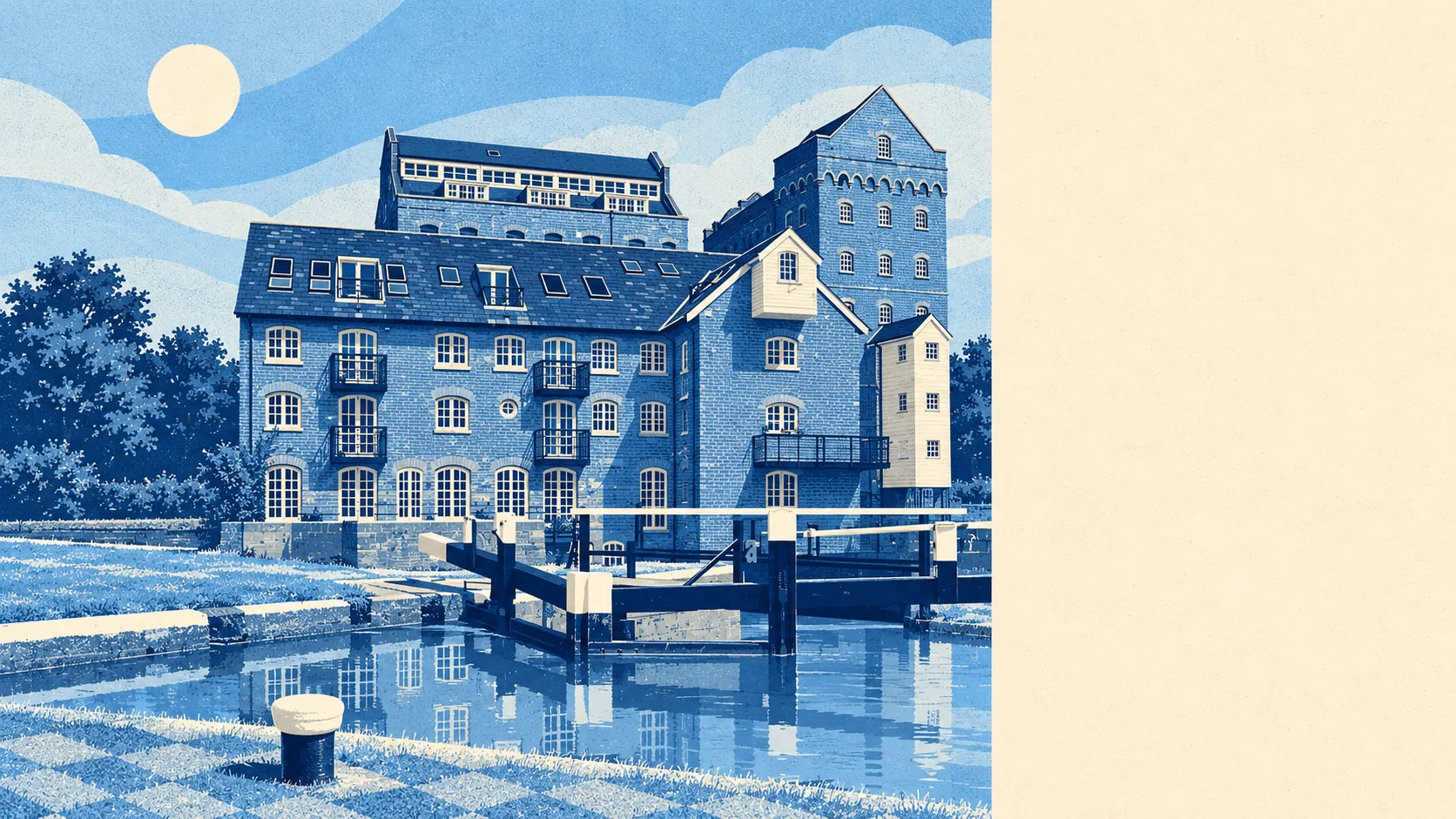
Water is just as close. The nearest river, stream, lake or canal is about 280 metres away on average, and there are about 38 within a kilometre. The Wey Navigation runs along the south-east side of town, and Coxes Lock is the deepest unmanned lock on the whole navigation. The Bourne runs past to the east, and further north are the Thames meadows at Addlestonemoor, with Chertsey Meads and Wey Meadows nearby.
The National Cycle Network is about 840 metres away on average, and 23% of postcodes are close to it. Further afield, St Ann's Hill and the Dingle make a registered park and garden, with a hillfort on top, and St George's Hill has another.
Private gardens add plenty. Addlestone has about 83,000 square metres of private garden for every 1,000 residents, so most people have a decent patch of their own as well as the parks.
The high street and its surroundings carry 154 shops, 10 pubs and 17 restaurants on the valuation list. The George Inn, a listed Tudor inn on Chertsey Road, was boarded up when it was last described. The best-known local story of recent years is a bowls club. The president of Addlestone Victory Park walked laps of the park all through lockdown to keep the club going, and it went on to become the fastest-growing bowls club in England.
The business rates list holds 423 rateable premises. The biggest group is 115 shops, followed by 54 offices, with a long tail of car parks, warehouses and workshops. These are premises on the council's list, which isn't the same as businesses open today, and some will be empty. As the borough's administrative centre, Addlestone carries more office space than most towns its size.
Eating out is reliable rather than adventurous. Of the 83 food premises rated for hygiene, 69% hold the top score of five and 1% are at the low end.
Fine-particle air pollution across Runnymede measured 7.6 micrograms per cubic metre in 2024, a borough-wide figure that doesn't distinguish between streets beside the motorway and streets beside the canal.
The character comes from water and the old estates. Woburn Farm, Philip Southcote's eighteenth-century ornamental farm, is a registered park and garden on the edge of town. Oatlands, another registered landscape, is a short trip away, and Pharaoh's Island sits out on the Thames. The weekend options run to towpaths, locks and hill walks, with very little in between.
No national landscape protection reaches into Addlestone. There's no area of outstanding natural beauty, no site of special scientific interest and no ancient woodland. The green space is everyday parkland, meadow and towpath, and you're free to use all of it.
The surrounding area is one of Addlestone's real strengths: parks, water and gardens are all within a few minutes of almost every home.