Yes, if you want Surrey in sensible shoes. Two in three households own their home. Flats outnumber every kind of house. A typical sale comes in just under £400,000. It's a working town in commuter-belt clothing, and the river gets closer than most buyers expect.
Addlestone's housing is plain. On the council-tax valuation list, flats make up 38% of homes, semis 27%, terraces 15%, detached houses 11% and bungalows 5%. Only 15% were built before 1930, so most of the building happened after the war and period features are scarce. The old Blériot aircraft works on Station Road later built the prototype Routemaster, then became a business park, and some of its offices have since been turned into flats. That one site tells you most of the town's history. Energy certificates put 54% of the certificated stock in bands A to C and 15% at E or worse. Mains gas heats 68% of homes, and 17% rely on electric heating alone, a running cost that only shows itself in the first winter's bills.
The Land Registry's twelve months to May 2026 recorded 168 sales at a typical price of £392,500. Flats went for about £255,000, terraces £395,000, semis around £472,000 and detached houses £535,000. Band C is the most common council-tax band, only 12% of homes sit in bands A or B, and a band D bill across Runnymede comes to about £2,490 a year. The valuation office has put most of Addlestone in the middle bands, which is about as close as anyone official has come to describing the place.
Runnymede Borough's typical private rent was about £1,570 a month in April 2026. That's the Office for National Statistics borough-wide mean, and it was down about 3% on a year earlier. Across the borough a one-bedroom averages about £1,070 and a three-bedroom about £1,660.
Police.uk recorded about 88 crimes per 1,000 residents in Addlestone in the year to May 2026, level with Runnymede's 87. Violence and sexual offences, a broad category that includes common assault without injury, made up 36% of the total, almost exactly the England and Wales share. Public order offences ran a little higher than the national share, 10% against 7%. Across the whole county, Surrey Police charged in 11% of cases over the same year, against 12% nationally. The town that houses the borough's police station turns out to be exactly as safe as the borough, a very civil-service result.
Addlestone Rail Station is on the line between London Waterloo and Guildford, yet only 3% of working residents took the train to work at the 2021 Census. Nearly half, 48%, drove, and 34% worked from home. The M25 runs along the edge of town and shapes the commute far more than the timetable does. Byfleet & New Haw and Weybridge stations are close enough to share the load. The town has 44 bus stops, averaging about 30 weekday departures each. Gigabit broadband reaches 84% of premises and superfast 97%, so the home-workers have the better deal.
Flooding is where Addlestone needs care. In the Environment Agency's river-and-sea flood zones, 8% of the town is in zone 3, the highest-risk band, and 12% is in zone 2. A wider measure takes in surface water: 13% of postcodes are at high risk on at least one flood indicator and 21% at medium. The town's lowest ground runs along the Bourne and out towards the Thames meadows. The Environment Agency holds 87 recorded flood events, the latest in 2003. Put the exact postcode into the Environment Agency's long-term flood risk service and ask the seller what happened in 2003. The surroundings are the payoff. The nearest green space is about 150 metres away on average, there are about 24 within a kilometre, and water is within about 280 metres. Abbey Rangers play on Addlestone Moor, on the Thames' old winter flood meadows, which may be the most honest use of land in town.
Heritage won't get in the way of most owners. Addlestone has 16 listed buildings, all Grade II, and two conservation areas, Caxton Avenue and the Wey Navigation. Outside those, an extension goes through ordinary planning. The grandest listed survivor is Philip Southcote's eighteenth-century ornamental farm at Woburn Park, much of which now belongs to St George's College.
At the 2021 Census, 65% of households owned their home, and the median resident was 40. Modelled household income before tax averaged about £65,000 in the financial year to March 2023. A third of adults hold a degree. These are people in the middle of their lives, mortgages and all, who mostly drive somewhere else to work.
This page also covers Ottershaw, West Byfleet and Woodham. Each sits behind its own strip of green belt, and all of them are within earshot of the same motorway.
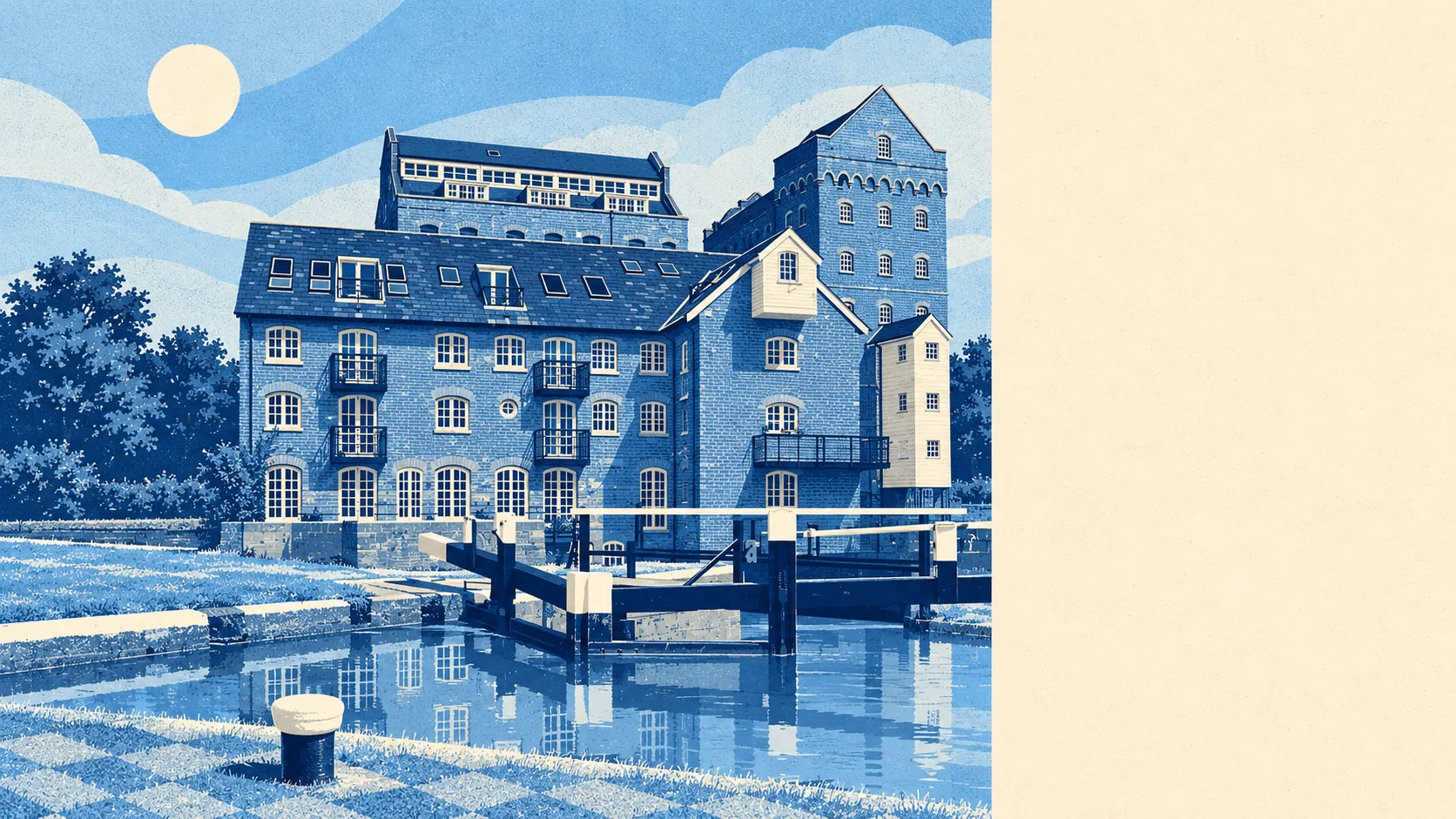
Addlestone suits drivers, people who work from home, and buyers who want a semi with a garden within reach of somewhere green, at prices below the Surrey stereotype. Surrey's schools are a good reason to look: Ofsted rates 147 of the county's 159 graded settings good or better, though that's a county-wide figure. It also suits anyone who likes towpaths, because the Wey Navigation and Coxes Lock are close by.
It suits people less if they want to commute by rail every day from a town where hardly anyone does, if they want a Victorian terrace with cornicing, or if they won't check a flood map before making an offer. Buyers who want character from their bricks will find more of it in the trees.
Addlestone is a good place to live for anyone who wants the practical version of Surrey. Its real strength is the land around it: parks, meadows and water within a short walk of most front doors. The weak spot is that some of the same land floods. Keep the sensible shoes, and make sure they're waterproof.