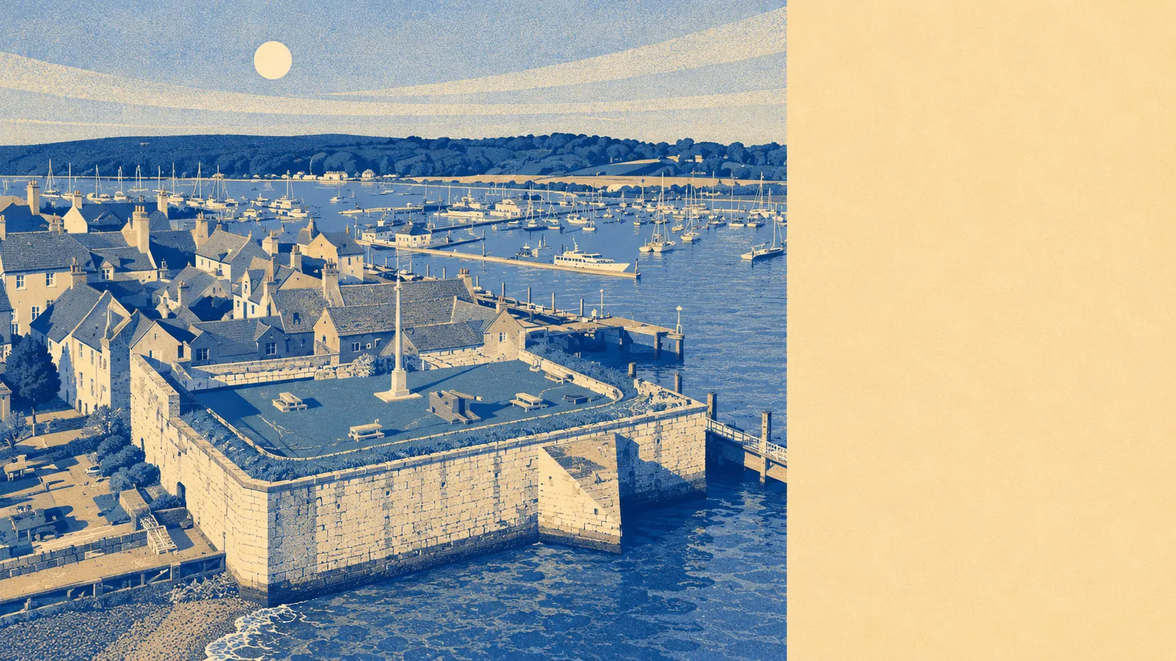
Yes, parts of Yarmouth flood, and the postcodes that flood are the ones nearest the water. About one in ten postcodes carries a high surface-water flood indicator. Around six per cent of the area falls within the highest river-and-sea flood zone. The coast sits twelve metres from the nearest front door, and roughly six in ten postcodes lie within five hundred metres of the sea. Concentrated, not blanket, and the geography tells you which streets to ask about.
The river-and-sea flood picture comes from the Environment Agency's flood-zone classification, which sorts land by the chance of a major flood in any given year. About two per cent of the area falls within flood zone two, the medium-probability zone. About six per cent falls within flood zone three, the highest. The Western Yar estuary runs north into the Solent, so the at-risk frontage is the river mouth and the seafront, not the streets two rows back. The historic flood record sits at zero per cent of the area having previously flooded in a recorded event, which sounds reassuring and is, with the caveat that absence of record is not the same as absence of risk on a coast that has been rebuilt and re-defended every generation.
Surface-water flooding is the bigger and harder-to-predict story. About one in nine postcodes carries a high surface-water flood indicator. Roughly one in eight carries a medium one. Around one in six carries a low one. Surface water is what happens when an hour of heavy rain falls faster than the drainage was ever asked to handle, and the postcodes that flood in those events are not always the same postcodes that flood from the river or the sea.
The forward look is where the picture gets sharper. Once the Environment Agency adds the climate-change allowance for sea-level rise and increased rainfall, the share of the area sitting within a future flood zone climbs to nearly three in ten. That is a meaningful step up from the present-day six per cent in flood zone three. The nearest long-record tide gauge, at Portsmouth, running from 1962, shows sea level rising at about two millimetres a year. The Shoreline Management Plan covers every postcode in the area, with a Hold the Line policy for the next twenty years and a No Active Intervention policy for the fifty- and one-hundred-year horizons. The translation: the coast gets defended for the next two decades and then it does not.
For insurance, this means the postcode matters as much as the property. A house inside flood zone three will be quoted differently from one a hundred metres outside it, and a surface-water-flagged postcode will trigger questions from a careful insurer. There are government-backed mechanisms that cap premiums on qualifying domestic policies for older houses, but they do not cover everything, they do not cover commercial property or the newest builds, and they do not survive a sale to a buyer who has not done the paperwork. Anyone buying inside a flagged postcode should get the indicative flood-risk report and the insurance quote on the table before exchanging contracts, not after.
Yarmouth's flood risk is what you would expect of a small town built on an estuary with a Tudor castle on the seafront: real, concentrated, and meaningfully larger if you take the climate forecast seriously. Average is the right score, and average comes with a postcode lottery you can win or lose street by street.