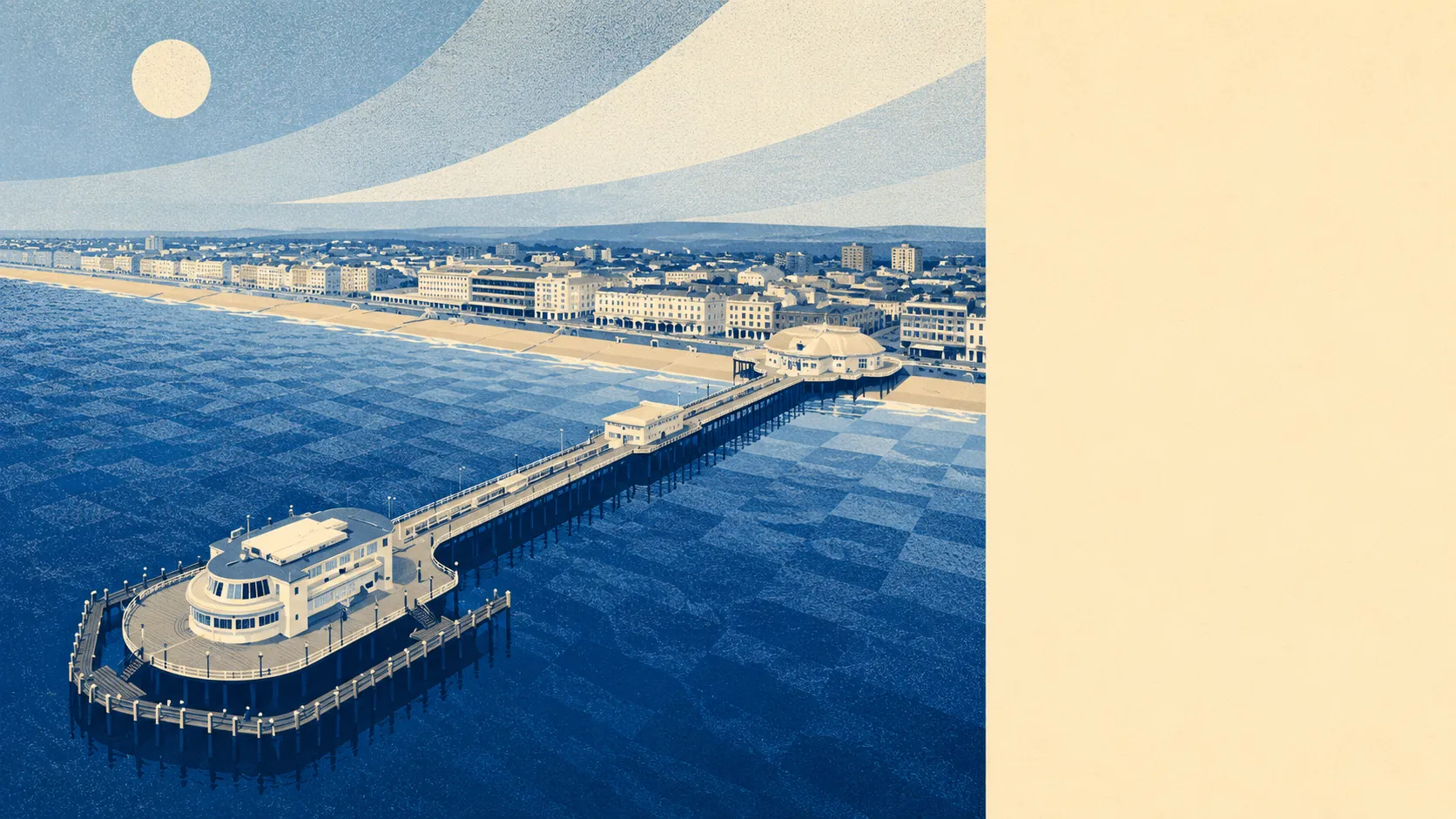
Worthing's flood risk sits at moderate on the town view. About one in thirty postcodes is inside Flood Zone 3, the higher-risk river-and-sea band. About one in eighty sits in Flood Zone 2, the medium band. Historic flooding has touched less than one percent of the borough. The town figure never answers the street question.
River and sea flood zones are the headline map, and they land lightly on Worthing overall. Flood Zone 3 covers about three-and-a-half percent of postcodes in the borough, which are the addresses closest to the culverted Teville Stream, the partially-culverted Ferring Rife, and the low-lying stretches directly behind the seafront. Flood Zone 2 covers about one percent, the shoulder of the same corridors. The rest of the borough sits outside both zones, which is the practical majority of streets. The coast has been developed for over a century, so those percentages describe densely populated areas rather than empty land, which is what makes them worth taking seriously.
Surface-water flooding is where the numbers get bigger. About one in seven postcodes carries some high surface-water risk. Roughly the same share carries a medium risk. Nearly a third carries at least a low risk. Surface water is the flood type that surprises people because it needs nothing more than an hour of the kind of summer downpour that Britain is now getting more of, landing on ground already saturated. A postcode on the flat coastal plain, with the South Downs draining down toward it from the north, will always carry more surface-water risk than an inland hillside.
Look forward, and the picture darkens by design. About a quarter of the borough sits inside the climate-adjusted flood zone, which is the forward-looking map for what sea-level rise and wetter storms push into potential coverage over the coming decades. That figure does not say every one of those postcodes will flood by 2050. It sets the planning envelope for how future developments and future defences are sized. The tide gauge at Portsmouth, which records for this stretch of coast, shows sea level rising at about two millimetres a year, which sounds small until multiplied out to twenty centimetres a century. The Shoreline Management Plan for this coastline holds the line as its modal hundred-year policy, which is planning language for keeping the sea where it is.
Insurance follows the map. An address flagged inside a flood zone, or on a high surface-water risk map, will attract a higher premium. The specific quote depends on the specific postcode, the specific ground floor level, and the specific claims history of the property. Anyone buying should get a real quote before exchange, not after, because the estate agent's cheerful "insurance is fine" is not a quote. The government's Flood Re reinsurance scheme keeps premiums accessible for high-risk homes built before 2009, but it does not cover anything built since, so a new-build in a risky postcode carries none of that softening.
Verdict: average, which for a coastal town on the south coast is what average looks like. Most homes are outside a Flood Zone. A meaningful minority sit on a surface-water risk map that a summer storm can find. The forward map is bigger than the current one, and it will be bigger still in ten years. Whether that matters to a specific buyer is a question about a specific address, not a question about Worthing.