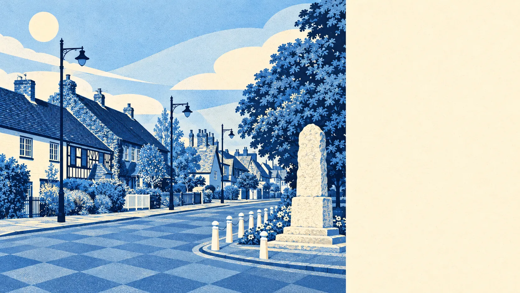
The area around Wooburn is green, wet and right outside the door. Parks are a couple of minutes' walk away. Water is about as close. Cliveden and Hall Barn are among the neighbours. None of it carries an official landscape designation, and it hardly matters.
The average Wooburn home is about 130 metres from public green space, with about 12 green spaces within a kilometre. In a village of this size, that means a green, a playing field or a footpath at the end of most roads. Wooburn Green has the space in its name, and the village has kept it.
Water is just as close, about 130 metres from the average front door, with about 41 separate pieces of water within a kilometre, counting rivers, streams, ponds and lakes. The Thames is a short way south, and Cock Marsh beyond it has a round barrow cemetery that people were using long before anyone thought about property values.
The National Cycle Network is about 3.8 kilometres from the average home, and no postcode in Wooburn is close to it. There is no ancient woodland inside the village boundary. Cycling here starts on the roads.
The rated-premises records count 71 shops, 17 pubs and 5 restaurants for the wider area around Wooburn, along with 113 offices. Pubs well outnumber restaurants. Eating out round here mostly means a pub meal.
Buckinghamshire's average fine-particle level was about 7.1 micrograms per cubic metre in 2024, a county-wide figure that cannot pick out the village from its busier roads.
Wooburn sits in a cluster of neighbours: Bourne End, Wooburn Common, Wooburn Moor, Loudwater, Flackwell Heath and Cookham across the river. Up the slope are the landscaped estates. Hedsor House has a registered park and garden. Hall Barn has its own obelisk and Temple of Venus. Cliveden comes with a Blenheim Pavilion, a shell fountain and a balustrade from the Villa Borghese in Rome. The estates nearby went as far as Rome for their garden ornaments, and Wooburn's own gardens are mostly lawn and a shed.
Wooburn's private gardens add up to about 189,000 square metres for every 1,000 residents, which is a generous measure of outdoor space for a village of semis and detached houses. Most homes have a proper garden behind them as well as the public green space nearby.
The council-tax valuation list for business rates holds 69 premises in Wooburn's own boundary. Industrial units are the largest group, followed by warehouses and then offices. A few shops, food premises and other uses make up the rest. These are premises on the rating list, not a count of businesses trading now. Wooburn's commercial life is mostly light industrial units by the road, which explains the vans.
Only three food premises inside the village boundary have a published hygiene rating, and all three hold the top score, with none at the bottom. Three is too few to judge a dining scene by.
The national designation registers show no area of outstanding natural beauty, no site of special scientific interest and no ancient woodland overlapping Wooburn. That makes it ordinary river-valley countryside, open to walkers, and it still looks good.
The setting is one of Wooburn's real strengths, with parks and water close to every front door, big gardens behind most of them and some grand estates a short walk away.