The area around Wheathampstead is open Hertfordshire countryside, with green space close to almost every home. The average home has about 16 green spaces within a kilometre. Water is a short walk away. The gardens are large. None of the landscape here has an official protected designation, and it doesn't need one to be good to live in.
Across Wheathampstead and its surrounding villages, the average home is about 230 metres from its nearest green space and has about 16 within a kilometre. Nomansland common is on the doorstep, and in a place with these house prices it is the one bit of local ground nobody has to buy.
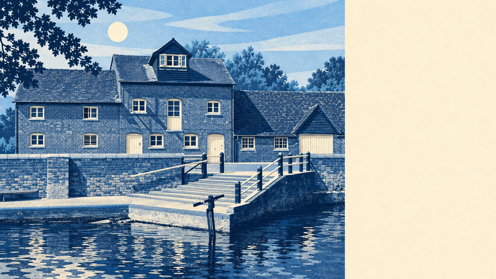
Water is close too. The average home is about 560 metres from a river, stream or pond, with about eight within a kilometre. The old mill and riverside names in the area, Hyde Mill and Water End among them, show that the settlements here grew up beside the water.
For cycling, the National Cycle Network is about 1,100 metres from the average home, and about 31% of postcodes are close to it. Most people drive to it, and the rest ride out into the lanes.
Further afield, the rating data for the broader set of surrounding postcodes lists 770 shops, 90 pubs and 82 restaurants. Wheathampstead uses them the way most of its neighbours do, as somewhere you drive to.
On air quality, St Albans council area recorded fine-particle pollution of about 7.5 micrograms per cubic metre in 2024. That is an average for the whole district, not a reading for any one road.
The character comes from the hamlets and estates around the village. Conservation areas cover Mackerye End, Amwell, Kimpton Bottom and Ayot St Lawrence, among others. Brocket Hall, Luton Hoo, Shaw's Corner and Rothamsted Manor House are among the listed buildings in the surrounding area. The Devil's Dyke earthwork runs along the eastern side of the village. Old estates, farmland and hamlets set out a good walk apart give the area its feel.
Gardens are large. The area has about 217,000 square metres of private garden for every 1,000 residents. Most households have plenty of outdoor space of their own, and the public green space is on top of that.
The village itself has fewer businesses. The valuation list counts 159 rateable premises in the area, and shops and offices are the two largest groups, at 27 each. These are premises on the list, not a count of businesses open today, but they give a fair picture of the size of the place. There is room for a village's worth of shops and businesses, and the bigger shopping trips go to the towns nearby.
Eating out locally scores well on hygiene. Of the 39 food premises rated in the area, about 77% hold the top hygiene score and none has a low one.
None of the landscape here has a protected designation. There is no Area of Outstanding Natural Beauty, no Site of Special Scientific Interest and no ancient woodland. This is ordinary working farmland on the edge of St Albans, made attractive by commons, rivers and old estates. A house can back onto a field here without that field being protected from development. Look up the local plan for the fields next to any house you're considering, because the view only lasts as long as nobody gets permission to build on them.
The surroundings are one of Wheathampstead's real strengths. Green space, water and a large garden are close to almost every front door.