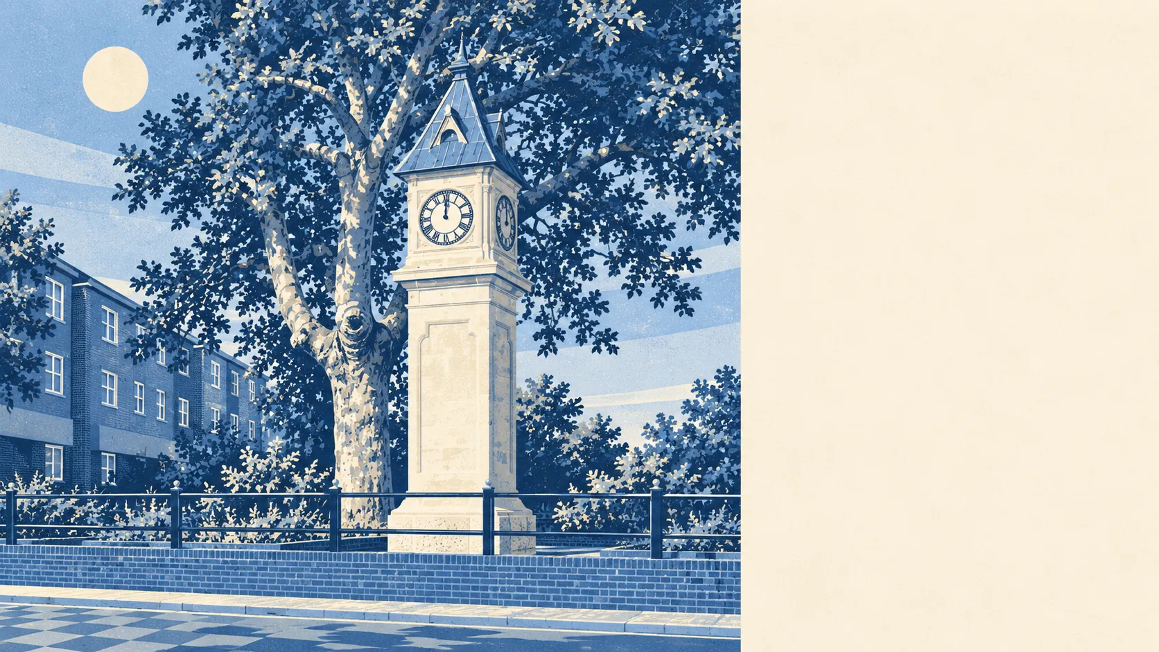
Greener than it looks from the main road. For most homes the nearest green space is a couple of minutes' walk away. There are about two dozen of them within a kilometre. Shops are everywhere and pubs are scarce. This is a dense suburb where most people still have a park at the end of the road.
On average the nearest public green space is about 176 metres from a Thornton Heath postcode, and around 24 lie within a kilometre. In a district this tightly packed, that is a surprisingly generous amount of grass. The terraces grew up around the parks, and nobody built over them.
Water is less obvious but still close. The nearest pond, stream or other blue space is about 525 metres away on average, with around 16 inside a kilometre. None of it is large enough to give the district a waterfront, and none of it shows up in the asking prices.
Cycling routes are thinner. The nearest stretch of the National Cycle Network is about 3.1 kilometres away on average, and no postcode in the district counts as close to it. There is no ancient woodland in the area. For a long ride, riders here start on ordinary London roads before they reach a signposted route.
Croydon's valuation list records 730 rateable premises in Thornton Heath, and 421 of them are shops. There are 40 offices, 11 restaurants and only 4 pubs. Those are premises on the rating list, which is not the same as businesses open today, but the shape is clear: Thornton Heath does its shopping on its own doorstep and goes elsewhere for a drink.
Fine-particle air pollution across the London Borough of Croydon averaged about 8 micrograms per cubic metre in 2024. That is a borough-wide figure and gives no reading for any single road.
Thornton Heath's neighbours are Mitcham, Croydon, South Norwood, Norbury, Selhurst and Upper Norwood, so the district is surrounded by suburb on every side. Before the railway it was a farming outpost on gravelly, fertile soil, worked for market gardens and gravel pits. The conservation areas at Beulah Hill and the Norbury Estate lie on its edges. The character is an Edwardian railway suburb that filled the farmland and kept the parks.
Private outdoor space is decent for inner London. Across the area there are about 38,000 square metres of private garden per 1,000 residents. Most of it is the strip of lawn behind a terrace, which is where the market gardens ended up.
Food hygiene ratings cover 293 premises here. About 52% hold the top score of five and about 7% sit at the bottom of the scale. The rest fall in between. Those ratings judge the kitchen and say nothing about the food.
None of the protected landscape designations touches Thornton Heath. There is no area of outstanding natural beauty, no site of special scientific interest and no ancient woodland. Its green spaces are ordinary London parks, used every day.
The surroundings are one of Thornton Heath's real strengths. A park is close to almost every front door in a district that is otherwise packed with houses, shops and very few pubs.