Yes, mostly from rain and not from rivers. Very few postcodes here are in river or sea flood zones. Roughly a quarter are rated high risk once surface water is counted. Nothing in the official records says the area has flooded. It began as a settlement round a pond and the drains still know it.
The Environment Agency's river-and-sea mapping puts about 3% of Thornton Heath's postcodes in Flood Zone 3, the highest-probability band, and about 2% in Flood Zone 2, the medium-probability fringe outside it. The two bands don't overlap. In total they cover a small corner of the district, and both describe water from rivers and the sea, which is not the threat most homes here face.
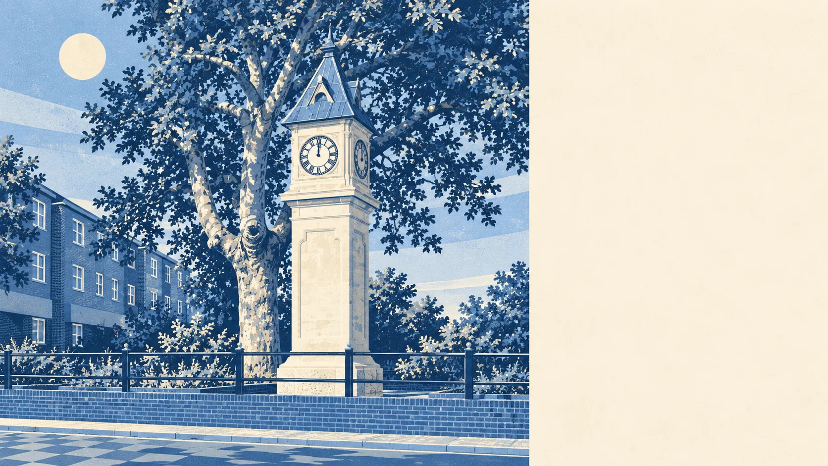
The threat here is surface water: heavy rain on a district of terraces, roads and paved front gardens, with nowhere quick to drain. Its history is a clue. Before the railway arrived, the place grew up around Thornton Heath Pond on the old London to Sussex road. A settlement that gathered at a pond has always been a place where water collects. Surface-water flooding also varies down a single road, as it follows dips that look flat from a car.
Allowing for a changing climate, the Environment Agency's adjusted river-and-sea zone covers about 5% of postcodes. That is a modelled look ahead, so it shows the shape of the risk without dating any flood. On the river-and-sea measure, the risk remains a small fringe.
Insurers price from the same kind of mapping, at the level of a single address, and surface water matters to them. Price an insurance quote on the exact address once the survey is booked, so a high premium shows up while there is still time to negotiate or withdraw.
Fold surface water in alongside rivers and sea, and about 24% of postcodes rate high risk on at least one flood measure, about 26% medium and about 56% low. These bands come from a separate measure that includes rain, and they cannot be added to the flood-zone shares above. The Environment Agency's river-and-sea flood zones mark out a few streets. Rain covers about a quarter of the district.
Counted as properties, the Environment Agency's river-and-sea mapping lists 1,674 homes and other buildings across the 43 postcodes that carry any risk. About 328 are at high risk, 205 at medium and 409 at low, and 301 of the high-risk properties are homes. Postcodes with no river-and-sea risk are not listed at all, so these counts cover the at-risk fringe and leave out the rest of the district.
About 3% of postcodes fall in the high-risk extent with no defence in the model, and the same share, about 3%, with defences included. Whatever defences the model accounts for, they don't shrink the high-risk area at all. "Defended" means a defence appears in the model. It doesn't mean the house stays dry, and here it does not even change the map.
The nearest tide gauge, at Portsmouth, recorded sea level rising by about 2 millimetres a year between 1962 and 2023. That is a measured past rate at a gauge on the south coast. Thornton Heath is a long way inland, so this trend is background and has little bearing on the risk to any terrace here.
There is no recorded historic flooding anywhere in the area. That is reassuring, though it only means no flood was mapped and recorded, and surface-water flooding in a single back garden rarely gets written down.
Flood risk is Thornton Heath's weak point, and below average. The rivers and the sea barely register, and almost all of the risk comes from heavy rain running down suburban streets.