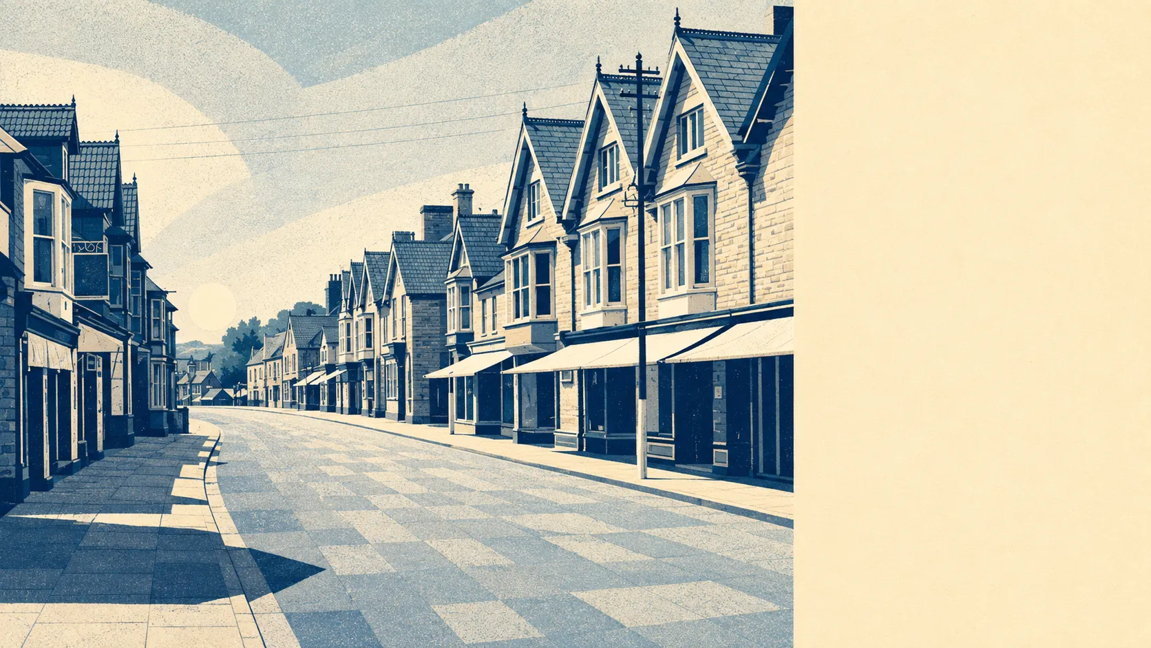
The surroundings are the best thing Street has, and it is not a close contest. Open green space starts at the end of the road for most households here. Water is nearly as close, because this is drained land and the drainage had to go somewhere. The Polden Hills stop at the town and the Somerset Levels begin, giving the place a ridge on one side and a horizon on the other. For a working town built around a factory, the setting is unreasonably good.
On green space, the average postcode here sits around 130 metres from open green space, with roughly 23 separate green spaces inside a kilometre. That is not the sort of access you plan an afternoon around. It is the sort you fall into on the way back from the shop.
Water is around 300 metres away on average, with roughly 45 separate water features within a kilometre of the typical postcode. That count is high because the Levels are drained ground rather than natural marsh, and the channels, ditches and old workings that keep it drained are all around the edges of the town. Street Heath to the north holds the old peat workings and the wetland that came back afterwards.
The National Cycle Network is the one gap in getting out into it. The nearest route averages around 2,300 metres from the town's postcodes, and none of them sit close to it. There is no ancient woodland recorded within the area at all, so anyone imagining bluebell walks on the doorstep should adjust the picture toward grassland and hills instead.
The commercial mix explains what kind of town this actually is. The rating list carries 195 shops, 19 restaurants and 6 pubs.195 shops and 6 pubs is not the ratio of a market town. It is the ratio of a place that decided retail was the business and drinking was somebody else's.
Air quality across the Somerset council area measured around 5.5 micrograms per cubic metre of fine particulate matter in 2024, which is a county-wide figure rather than a Street reading.
The setting around the town is a series of small places that have been here far longer than anything selling shoes. Walton sits on the ridge to the west, Compton Dundon and Butleigh Wootton to the south and east, and Marshall's Elm marks the high ground where Roman villa remains were found. The town's own older names survive as districts: the centre grew out of Lower Leigh, with Middle Leigh and Overleigh running south from it. Sharpham Park lies two miles west, and Pomparles Bridge crosses the River Brue toward Glastonbury, the spot Arthurian legend nominates for the throwing of Excalibur, which is a considerable claim for a river crossing that most people encounter as a queue.
Private outdoor space is generous in a way the public green space figures do not capture. Across the eight neighbourhood areas measured, gardens amount to around 110,000 square metres per 1,000 residents. The post-war and later plots that make up most of the town came with proper gardens attached, and they have mostly stayed that way.
The full valuation list runs to 403 rateable premises across the area, including around 42 offices and 8 holiday lets alongside the retail. Those are premises on the list rather than businesses currently trading, so treat the number as the shape of the commercial stock rather than a headcount of open doors.
For eating out, 83 food premises carry a published hygiene rating, with around 87% holding the top score and around 2% at the bottom of the scale. That is a comfortable record for a town with this much retail footfall passing through it.
One honest absence worth naming: no protected-landscape designation overlaps the area itself. No area of outstanding natural beauty, no site of special scientific interest inside the boundary, no ancient woodland. The designated ground sits just beyond, up on the Polden ridge, which means Street gets the view without the paperwork.
The surrounding area is where this town runs away from its rivals. Green space at the end of the road, water a few hundred metres past it, hills on one side and the Levels on the other, and nobody charging admission for any of it.