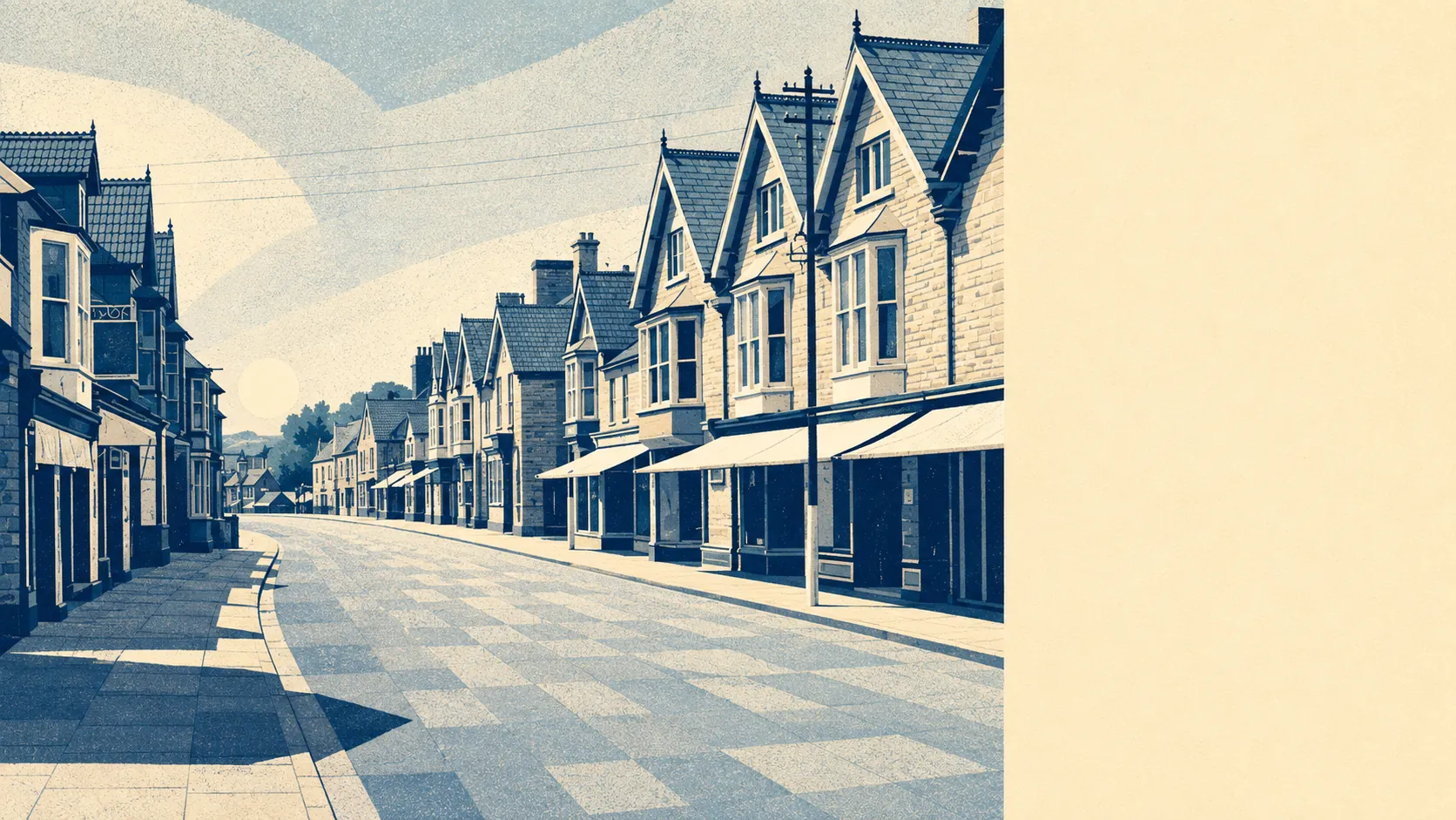
Street is a town on the Somerset Levels that had the sense to stand on the dry bit. Almost none of it falls inside the river and sea flood zones. The churchyard sits on the first flood-free ground near the River Brue, which is why anyone settled here at all. Surface water is the risk that actually turns up. The Levels flood. Street mostly watches.
The Environment Agency's flood zone mapping puts around 1% of Street's postcodes in flood zone 2 and under 1% in flood zone 3. Those bands are exclusive rather than nested: zone 3 is the higher-probability core and zone 2 the medium-probability fringe sitting outside it, which is why the outer band is the larger number of the two. The recorded flood history amounts to two events, the most recent in February 2014, caused by a main river overtopping its defences. Two events in the record, for a town sitting on the edge of the most famously waterlogged ground in England, is a quieter history than the geography would lead you to expect.
Surface water is where the interesting reading lives. Street sits on drained land, and around 4% of its postcodes fall inside the Axe Brue Internal Drainage Board area, which means drainage there is actively managed rather than natural. Drained ground drains only as well as the drainage is maintained, which makes this a question about upkeep as much as about elevation.
Apply the climate allowance and the zone footprint widens to around 2% of postcodes. That is a modelled forward look rather than a prediction about any particular winter, and it takes a small number and turns it into a slightly less small one. For a town on this ground, the climate-adjusted figure is the one that should reassure you most.
For insurance, the practical effect is that most Street addresses are unremarkable to an underwriter and a handful are not. Postcode-level pricing is a blunt instrument, and a house sitting on the wrong side of a modelled extent can be quoted as though the whole road were underwater. Get an indicative quote on the exact address before instructing a solicitor, because the gap between a routine premium and a loaded one is something you want to discover at the enquiry stage rather than at exchange.
Broaden the measure and the numbers change shape. Counting any postcode that rates high on at least one flood indicator, including surface water, around 14% of Street's postcodes come back high, around 21% medium and around 38% low. Those bands overlap the zone figures rather than adding to them, and a postcode qualifies on a single indicator alone. So that 14% is not a claim that 14% of houses flood. It is a claim that 14% of postcodes carry something worth reading before you commit.
Counted as homes rather than postcodes, the Environment Agency's rivers and sea mapping lists 120 properties across the seven Street postcodes that carry any risk at all. Of those, 3 sit at high risk, 3 at medium, 22 at low and 34 at very low. None of the high-risk properties are residential. Postcodes carrying no risk do not appear on that list at all, which accounts for the rest of the town.
On whether anything stands between the water and the building, under 1% of Street's postcodes sit inside a modelled high-risk extent with no defence present in the model, and none sit inside a high-risk extent where a defence is modelled. That is not the same as the town being defended. It means the exposed fraction is small and unprotected, and where a defence does appear in a model, its presence is a fact about the model rather than a promise about the house.
Sea level is a background consideration here rather than a live one, Street being inland. The nearest tide gauge with a long record is at Devonport, where mean sea level rose by about 2.35 millimetres a year across the 1962 to 2015 record. That is a measured historic rate at a gauge in Devon, not a projection and not a Somerset number, and it reaches Street only through the rivers that drain the Levels.
Flood risk here is middling rather than menacing: a small genuinely exposed fringe, a larger set of postcodes carrying a surface-water flag worth reading, and a centre that has been standing on the dry ground since long before anyone thought to map it. Check the address, not the town.