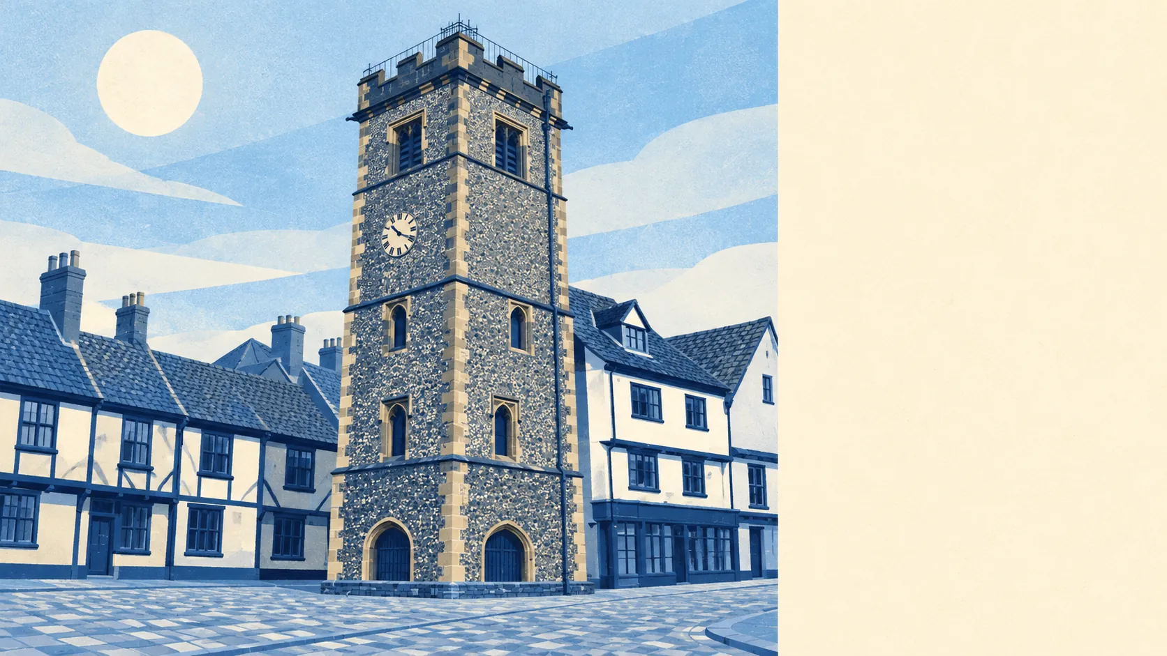
The area around St Albans is green, close and busy, with a park at the end of most streets and a pub not far beyond it. Open space starts a short walk from the front door. The Roman city is now mostly lawn. The high street does a strong trade in coffee and lunch. What it lacks is any wild countryside with a protected name.
The typical home in St Albans is about 130 metres from the nearest public green space, with around 30 parks, playing fields and open spaces within a kilometre. Verulamium Park covers much of the old Roman town, Clarence Park holds the cricket club and the football ground, and the Gorhambury Estate runs out to the west. Boudica burnt the Roman city to the ground, and nearly two thousand years later the ruins make an excellent place for a picnic.
Water is a little further off. The nearest lake, river or pond is about 750 metres away on average, with about nine such spots within a kilometre. Most of that is the valley floor below the cathedral, which is where the Iron Age settlers put their marsh-side town in the first place.
The National Cycle Network passes on average about 535 metres from home, and about 64% of postcodes are close to a route. That gives most households an easy way out by bike towards Harpenden or the villages, should the 1% of residents who cycle to work ever be joined by anyone else.
The business-premises records for St Albans count 867 shops, 97 pubs and 122 restaurants. The business rates list, which counts rateable units differently, holds 2,078 premises in the area, with offices the largest category at 603 and shops next at 544. Those are premises on a valuation list, some of which will be empty at any one time. Even so, a city with more offices than shops on its rates list is one where a lot of the lunch trade arrives with a laptop bag.
Eating out is a clean business here. Of 470 rated food outlets, about 74% hold the top five-star hygiene score and about 2% sit at the bottom end. The Great St Albans steeplechase once drew the best horses in the country away from the 1837 Grand National, then was dropped without warning in 1839 and forgotten, and the city has stuck to safer crowd-pleasers ever since.
The St Albans council area recorded a fine-particle level of about 7.5 micrograms per cubic metre in 2024.
Beyond the parks the area has a mixed texture. Bernards Heath and Fleetville carry the older terraces, Marshalswick and Jersey Farm the later estates, and Sandridge, Childwick Green and Colney Heath the fields at the edge. The Pioneer Skatepark on Heathlands Drive, one of the country's oldest indoor ones, sits among all of it. Most of the cathedral city is a short drive from a farm, and a farm here is rarely more than a short drive from a cathedral.
Private gardens are generous for a city. The area has about 96,000 square metres of garden for every 1,000 residents, which puts plenty of homes on a patch of their own lawn as well as next to the public ones.
No area of outstanding natural beauty, site of special scientific interest or ancient woodland overlaps St Albans. The green here is parkland, playing fields and farmland, maintained and walked, and nobody has needed to protect it from anything but a planning application.
The surroundings are one of St Albans' real strengths, with parks so close and so many that most residents never have to drive to find grass.