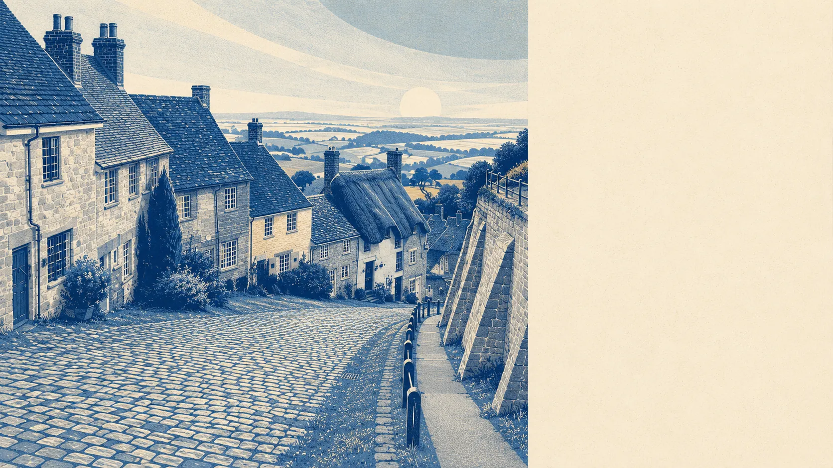
The country around Shaftesbury is the reason people tolerate everything else about it. Open space starts a stone's throw from the average front door. Water is a few minutes further on. Downland rises to the east, vale drops away to the west. This is not scenery you drive out to at weekends, it is the thing the town happens to be standing in.
Around 25 distinct green spaces fall within a kilometre of the typical postcode, and the nearest sits roughly 110 metres away. That is close enough that walking the dog requires no planning, no car and no particular commitment to the outdoors as a lifestyle.
Water is a little further out. The average postcode sits about 550 metres from open water, with roughly 6 separate bodies of it inside a kilometre. Nothing tidal and nothing dramatic, but enough that a walk can end somewhere with a reflection in it.
Cycling is the gap. The nearest route on the National Cycle Network is about 4.9 kilometres away and no postcode here counts as close to it, so riding around Shaftesbury means lanes, gradients and a certain tolerance for agricultural traffic rather than a signed corridor. No ancient woodland is recorded inside the area either.
The high street exists in more than name. The valuation list carries 122 shop premises, 13 pubs and 6 restaurants, and that ratio tells you exactly how evenings run here. A pint is a decision you make on the way past. Dinner is a plan you made on Tuesday.
Fine particle pollution measured about 5.5 micrograms per cubic metre across the Dorset council area in 2024, which is a council-wide figure rather than a reading from any particular street.
On formal protection, a designated area of outstanding natural beauty covers about 3% of the area, running along the eastern side where the chalk begins. Nothing here is designated a site of special scientific interest. Most of the protected landscape sits next door rather than underfoot, which is worth understanding before anyone assumes the view out of the back window is guaranteed by law.
Geography does the rest of the character work. The Blackmore Vale falls away to the west with Duncliffe Hill standing out of it, Cranborne Chase climbs to the east, and the villages arrange themselves around both: Motcombe and Compton Abbas, Fontmell Magna and Ashmore, the two Donheads, Berwick St John and Tollard Royal. Closer in, Enmore Green, St James and Alcester sit below the promontory, which is how the town ended up with an upstairs and a downstairs.
Private outdoor space is the underrated part. Across the eight neighbourhoods measured, gardens amount to roughly 261,000 square metres per 1,000 residents. That is the figure worth having, because a country park at the end of the road is no help at all when what you wanted was to drink coffee outside without getting dressed properly.
The valuation list records 426 rateable premises across the area, including 111 offices, so this is somewhere people work rather than a village that empties at nine. It also carries 47 holiday lets, which goes some way to explaining the summer traffic. Rateable premises are not the same as businesses currently trading, so treat the mix as the shape of the place rather than a shopping directory.
Of the 68 food premises carrying a published hygiene rating, about 93% hold the top score and about 2% sit at the bottom of the scale. Eating out here carries very little risk, whatever else it involves.
The countryside is comfortably the best thing this place has, and it is not a close contest. Everything else about Shaftesbury involves a compromise somewhere, and the land around it is the one part nobody has to make excuses for.