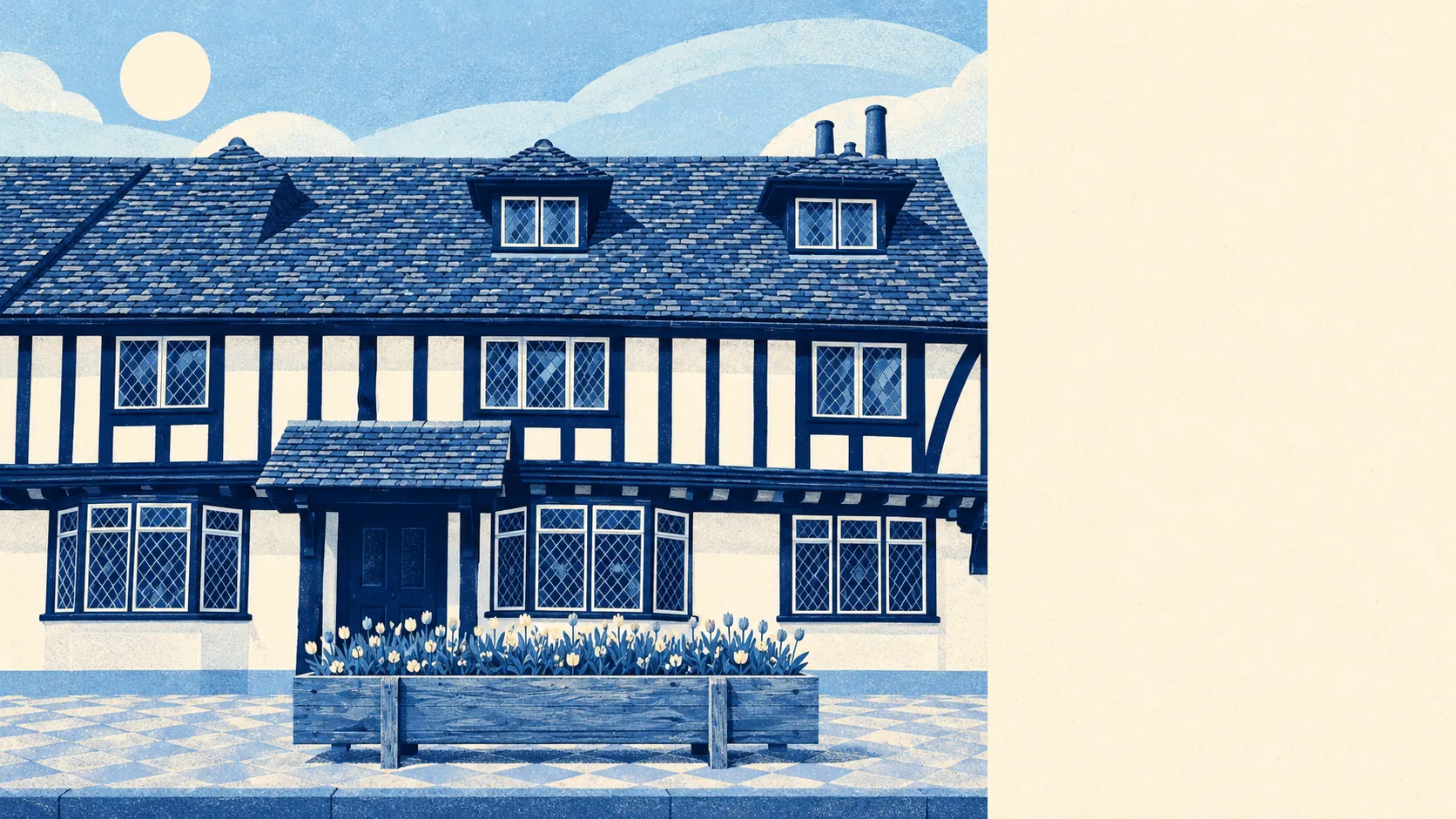
The area around Pinner is green, and you rarely have to go far to find it. Every home has a park nearby. Water is never more than a short walk away. Most houses have a decent garden of their own. Pinner was built as a garden suburb, and it still keeps its green spaces close to the houses.
The nearest public green space is about 155 metres from the average home, and there are about 21 green spaces within a kilometre. Pinner Memorial Park sits at the centre, with a museum to the illustrator Heath Robinson in its big house and a café that puts on music through the summer. Pinner Village Gardens and Roxbourne Gardens are nearby, and Roxbourne has a pop-up café and music on Sundays all year. The Celandine Route, a walking trail that starts in West Drayton, ends at Pinner Memorial Park, which is about the most Pinner thing a footpath could do.
Water is close too. The nearest is about 311 metres from the average home, with about 27 bodies of water within a kilometre. Most of that comes from the River Pinn, which runs diagonally through the middle of the suburb, and from the ponds and streams that feed it. You can walk along the Pinn without trying very hard to find it.
For longer outings the picture is mixed. The National Cycle Network is about 5.3 kilometres from the average home, and no postcode counts as close to it, although the Metropolitan Quietway cycle route runs through Pinner. On foot there is plenty. Pinner Wood covers the north, Pinner Park is still working farmland, and Nower Hill and the steep ground around Pinner Hill Golf Course give the village some real slopes.
The high street is made up mostly of shops. The rated-premises register lists 389 shops, 12 pubs and 36 restaurants across the area. Of 253 food outlets rated for hygiene, about 67% have the top score. Pinner has more shops than pubs by a wide margin, which suits a suburb whose residents mostly drive or work from home.
Harrow's fine-particle air pollution was about 8.3 micrograms per cubic metre in 2024, a figure for the whole borough.
The character comes from history and land. The old centre still grows out from the fourteenth-century church of St John the Baptist on the High Street. The interwar garden estates spread out from there, and the semi-rural Pinnerwood area to the north climbs towards the golf course. Hatch End covers the north-east. Eastcote, Rayners Lane and North Harrow run seamlessly into Pinner on the other sides, so there is no obvious point where Pinner ends.
The private gardens matter as much as the parks. Pinner has about 107,000 square metres of garden for every 1,000 residents, and that's the figure that counts. The garden estates were laid out with big plots, and the plots have mostly survived. For most Pinner families, outdoor space starts at the back door.
Harrow's valuation list counts 862 rateable business premises in the area. These are premises on the rating list, which is not the same as businesses currently trading. Shops are the largest group by far, followed by offices, of which there are 151. Pubs, restaurants, car parks and a few workshops make up the rest. It is a suburb that comes to the high street to shop, not one that goes there to work.
Eating out comes with decent assurance. Of the 253 food premises rated in the area, about 67% hold the top hygiene score and about 5% are at the bottom of the scale. Look up the rating on the Food Standards Agency's website for any you plan to use regularly.
No protected landscape overlaps Pinner. There is no area of outstanding natural beauty, no site of special scientific interest, and no ancient woodland is recorded within the area. The green space here is park, garden and farm, owned by the borough and the residents, and managed for the people who live next to it.
The setting is one of Pinner's real strengths. Parks, water and big gardens are all close to home, and you don't need a car to reach any of them.