Pinner has the neighbours most buyers would pick for themselves, and the prices explain why so few new ones get in. Seven in ten households own their home and incomes run high. A typical sale lands around £700,000, with semis nearer three-quarters of a million. The community is the thing worth having here, and joining it is the hard part.
Owner-occupiers make up about 72% of households in the 2021 Census. The median resident is 43, old enough to have bought and young enough to still be paying for it. The Office for National Statistics models gross household income at about £87,000 a year for the financial year to March 2023, averaged across Pinner's neighbourhoods. People with that income and a paid-down mortgage are in no hurry to sell, and the buyers queuing behind them can feel it.
The Land Registry recorded 287 sales in the year to May 2026, at a median of £700,000. Detached houses went for about £925,000, semis for about £749,000, terraces for about £633,000 and flats for about £375,000. A flat is the one way in that doesn't need two good salaries or a generous parent. The council-tax list tells the same story. Band E is the most common, and only about 3% of homes are in bands A or B, so even the bottom of the valuation list comes at a premium.
Renting gets no discount either. Harrow's typical private rent was about £1,760 a month in April 2026, an Office for National Statistics average for the whole borough, and about 19% of Pinner households rent privately at whatever the local version of that figure turns out to be.
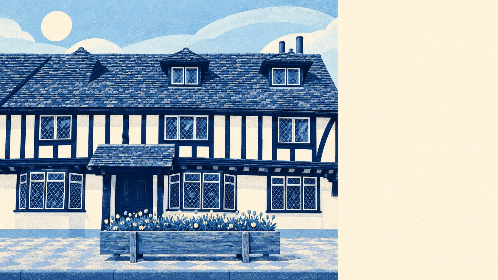
Most of Pinner was built in one rush. The village grew fast between 1923 and 1939 as the Metropolitan Railway encouraged garden estates around the old core, and the valuation list still shows the result: about 32% semis, 28% flats, 20% detached, 10% terraced and 9% bungalows, with only about 12% built before 1930. On energy certificates, about 43% of rated homes are band D and 18% are E or worse, against about 39% at C or better. About 84% are heated by mains gas. Art Deco looks wonderful on Elm Park Court, the Grade II listed block at West End Lane and Elm Park Road, and does very little for a heating bill.
Water is where the picture gets less comfortable. The River Pinn runs diagonally through the middle of the village. About 32% of Pinner's postcodes are rated high on at least one flood indicator, a measure that includes surface water. The Environment Agency's river-and-sea flood zones are much tighter, with about 5% of postcodes in Flood Zone 3 and about 3% in Zone 2. The gap between those figures is mostly rain overwhelming drains, as opposed to the Pinn bursting its banks. The most recent recorded flood, in June 2016, came from a small watercourse that ran out of room.
Safety is a strength. The Metropolitan Police recorded crime at about 66 per 1,000 residents in the year to May 2026, roughly 23% below the Harrow average. In 2014/15 Pinner South had the lowest crime rate of any ward in Greater London. That is the sort of record a residents' association brings up for a decade afterwards.
The history comes with paperwork. The wider area has 119 listed buildings, five of them Grade II*, and seven conservation areas, including Eastcote Village and Frith Wood, on top of Pinner's own Pinnerwood estate conservation area. East End Farm Cottage dates from the late fifteenth century. Anyone planning a loft conversion should expect the planning department to know all of this as well as the local history society does.
Getting out is easy. The Metropolitan line runs through the middle of the village, and Hatch End Rail Station puts the London Overground on the north-east side, in Hatch End itself. There are 237 bus stops, averaging about 322 weekday departures each where timetables are recorded. At the 2021 Census just under half of working residents worked from home and about 2% took the train, because the Census caught most commuters at the kitchen table that year. Gigabit broadband reaches about 88% of premises and superfast about 99%.
Schools are where Pinner's reputation comes from. Of 29 settings Ofsted has graded across the area, 28 are good or outstanding, and nine of those are outstanding. Primary pupils averaged 109 on the Key Stage 2 maths scale across eight schools, and the three secondaries in the district averaged an Attainment 8 score of about 54. Nower Hill High School and Pinner High School cover the secondary years, and Pinner Wood School and Pinner Park Primary School are among the primaries. Parents pay for those results once through the house price, and some pay again for the independent schools, of which there are several.
Green space is close, about 155 metres from the average front door, with water about 311 metres away. Pinner Memorial Park, Pinner Village Gardens and Pinner Wood are all within reach, and Pinner Park is still farmland. Hatch End gets the same doorstep greenery with a station of its own.
The famous residents are on the cultured side. Ronnie Barker and David Suchet each owned Elmdene, a 17th-century house on Church Lane, at different times. Edward Bulwer-Lytton wrote Eugene Aram at Pinner Wood House in 1832, and the novelist Ivy Compton-Burnett was born in the village. A sitcom great and Poirot passing through the same front door is the sort of history that ends up in the asking price.
Pinner is right for families who plan to stay through both school phases and can fund a semi near £749,000, and for anyone who wants low crime and a park at the end of the road more than they want change. First-time buyers on one income will find the flats are the only way in, and bargain hunters should look elsewhere.
Overall it is better than average. The neighbours, the schools and the safe streets are the prize, and the cost of getting in is the obstacle. Buyers who can clear the obstacle get the prize for as long as they care to stay.