The area around Pangbourne is the reason anyone pays Pangbourne prices. Green space is a short walk from almost any door. Two rivers meet in the middle of the village. Two protected landscapes meet around it. The village is the bit in the middle of the view.
On average, homes here are roughly 170 metres from the nearest green space, with about 15 green spaces within a kilometre. That means a dog walk without having to plan it first. The countryside isn't a day out from Pangbourne, it's the other side of the fence.
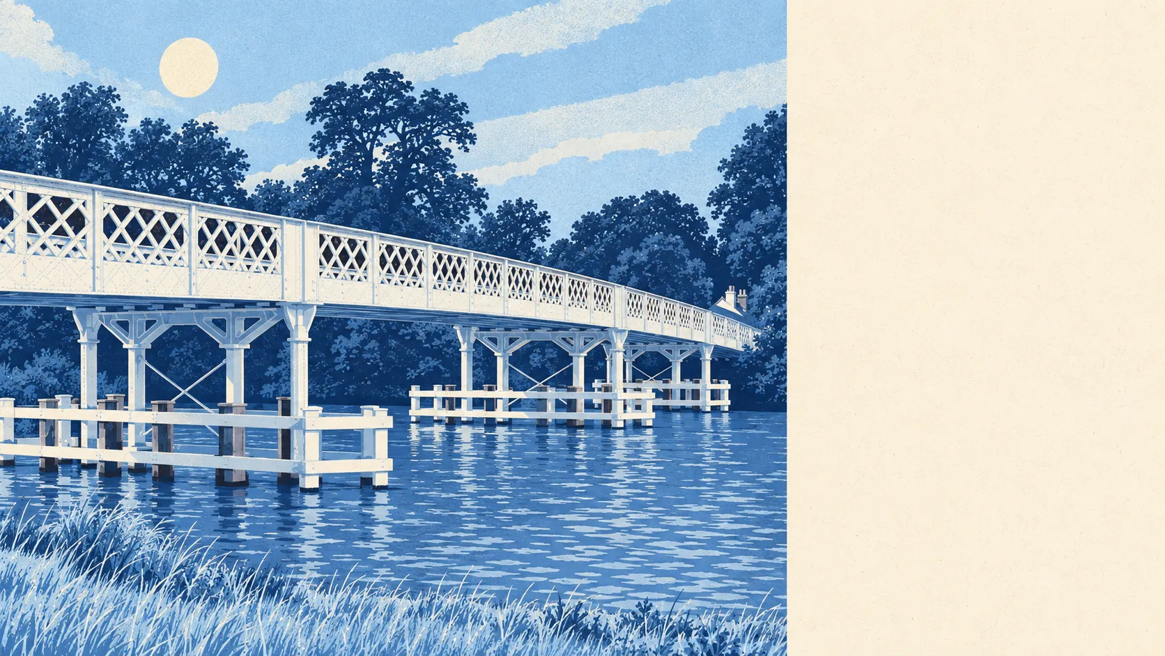
Water is almost as close. The average home is about 220 metres from the nearest river, stream or other water, with about 51 bodies of water within a kilometre. The Pang runs through the centre of the village before joining the Thames, and across Whitchurch Bridge sits Whitchurch-on-Thames, which this page also covers. People who say they want to live by the river usually mean a view like this one, and then spend some time on the flood map.
The National Cycle Network is further off, about 5.9 kilometres from the average home, and no postcodes are close to it. Cyclists here ride the lanes, or put the bike in the car and drive it somewhere flatter.
Across the wider postcode district, property records list 79 shops, 18 pubs and 1 restaurant. That is a pub-heavy mix, and anyone moving here expecting a string of restaurants on the high street will end up eating in the pub. Food hygiene tells the same small story: of 29 rated food outlets, about 76% hold the top score and about 3% sit at the bottom. No premises are named here.
Fine particle pollution across West Berkshire as a whole averaged about 6.3 micrograms per cubic metre in 2024. That is a figure for the whole council area, not for any particular street.
The whole of Pangbourne sits inside protected landscape, where the North Wessex Downs and Chilterns Areas of Outstanding Natural Beauty meet. There are no Sites of Special Scientific Interest overlapping the area, and no ancient woodland recorded within it. The protection covers the landscape as a whole rather than any particular wood or wildlife site, and it's the whole view that is protected.
The surrounding villages carry the country-house end of English history. Basildon Park, Mapledurham House, Hardwick House and Purley Hall are all in reach, alongside the Iron Age Camp on Bozedown and stretches of Grim's Ditch. Kenneth Grahame retired to Church Cottage and died in Pangbourne in 1932, and the Thameside landscape is said to have inspired the illustrations for his book. Stately homes on one side and a river on the other is a setting estate agents describe at length, and here it happens to be true.
Private outdoor space is generous. The three neighbourhood areas covered average about 334,000 square metres of garden per 1,000 residents, which is the measure of how much outdoor space people own, as opposed to how much farmland surrounds them. Most people here have a garden of their own before they even reach the green spaces.
The business rating list holds 188 premises, led by offices at 74 and shops at 39. These are premises on the valuation list, not a count of businesses currently trading, and nothing here means any particular shop is open.
For eating out, about 76% of the 29 rated food premises hold the top hygiene score, and about 3% sit at the lowest end.
The surroundings are Pangbourne's strongest point: rivers, protected countryside and fields a short walk from nearly every door. The village has a lot less to offer than the landscape around it.