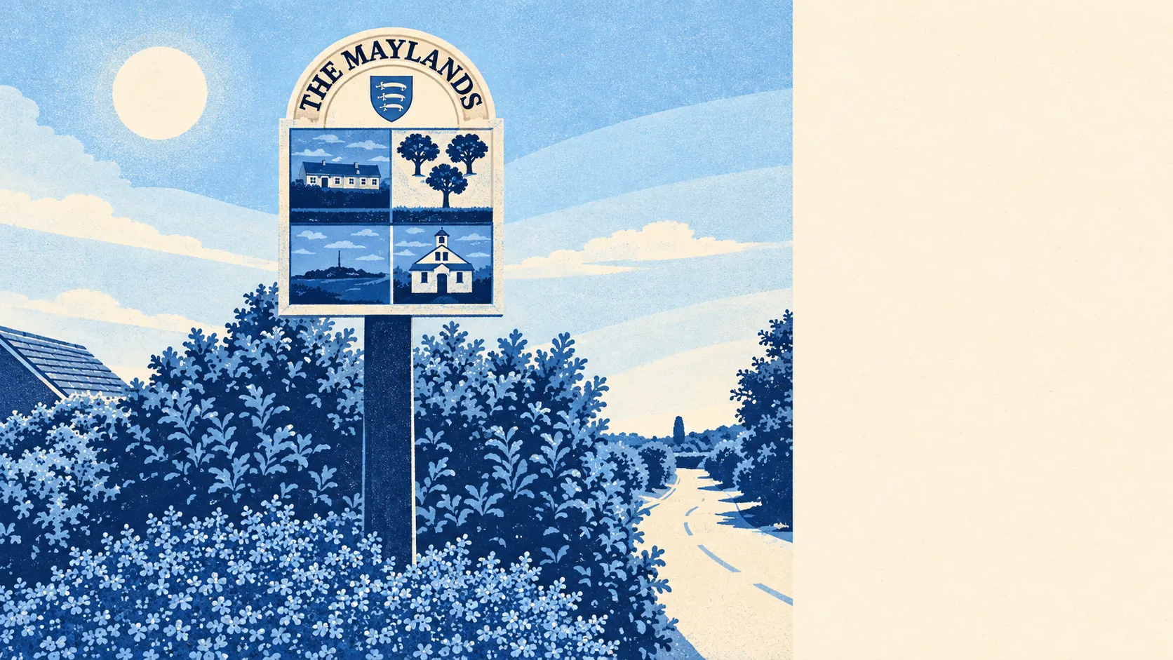
The country around Mayland is estuary, creek and open farmland, and most of it is a short walk from the house. Parks and green space are close. The water is closer. The shops are few and the cafés fewer. The Blackwater handles the scenery and the residents handle the rest.
The average home has about 4 green spaces within a kilometre, and the nearest is about 320 metres away on average. Walking the dog here is a decision about which way to go, never whether there is anywhere to go.
Water is even nearer. The average distance to blue space is about 210 metres, and the average home has about 47 patches of water, creek or channel within a kilometre. Maylandsea faces a creek of the Blackwater Estuary, and on this side of the Dengie Peninsula the land keeps handing over to the water.
The National Cycle Network is about 6 kilometres from the average home, and no postcode in Mayland is close to it. Serious cycling here starts with putting the bike on the car.
The shopping is sparse. Across the wider postal district around Mayland, the valuation records list 192 shops, 53 pubs and 19 restaurants, a count spread over far more ground than the village itself. In Mayland the choice is what's on the parade and whatever is a drive away.
Air quality is good. Maldon District's fine-particle level was about 7 micrograms per cubic metre in 2024.
The village's character comes from how it was built. The old settlement stood inland around Mayland Hall and the church of St Barnabas, and when the replacement church went up in 1867 it moved to a new site south of the Hall. Even the church moved house here. In 1906 the farmland to the north was divided into plotlands, and Lower Mayland around Steeple Road and Maylandsea on the estuary grew out of those plots before merging into one built-up area. The neighbours are the same kind of small places: Latchingdon, Althorne, Mundon and Steeple.
The private gardens are generous. The three neighbourhood areas covering Mayland have about 210,000 square metres of garden for every 1,000 residents. Plots laid out for people who wanted to grow their own food left back gardens big enough to still try.
The business rates list shows what is actually here: 89 rateable premises across Mayland. The largest groups are workshop and industrial units, followed by 13 shops and 8 offices, with a couple each of restaurants and leisure premises. These are premises on the valuation list, and some may stand empty, so the count doesn't say how many are trading. It describes a working village with a small parade more than a high street.
Eating out comes with clean kitchens. Of 14 food premises rated for hygiene, about 64% hold the top score and none sit at the bottom. The choice is limited, but none of it scores badly.
No protected-landscape designation covers Mayland. It has no area of outstanding natural beauty, no site of special scientific interest and no ancient woodland. Nobody has drawn a line around the place, so the creek and the fields get on with being a creek and fields, with no visitor centre and no rules about it.
The surroundings are one of Mayland's real strengths, with water and green space close to nearly every home and decent gardens behind them. The amenities are the thin part, and the car will be doing most of the shopping.