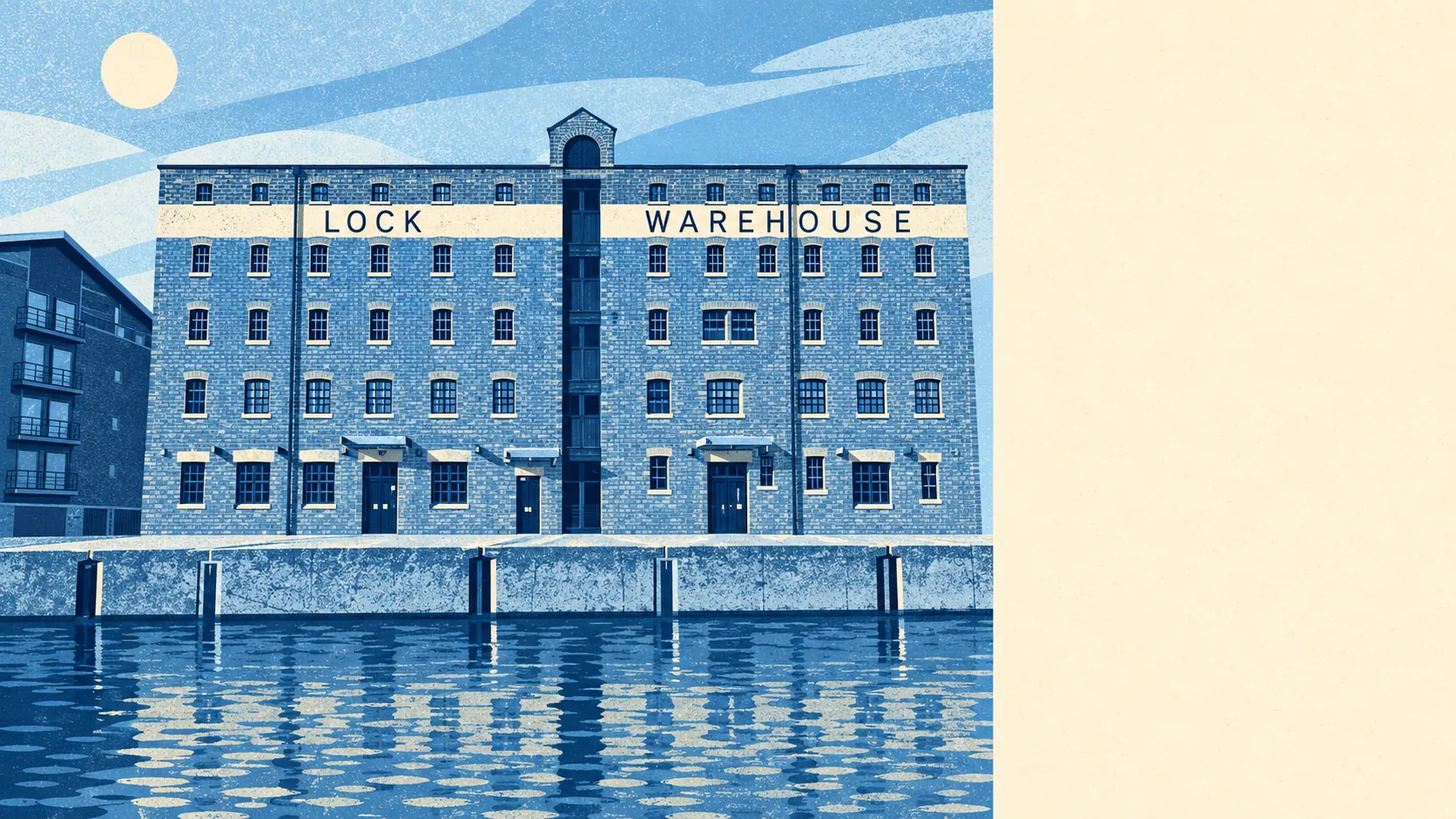
Gloucester is well connected for anyone with a car or a broadband router, and much less so for anyone relying on the train. About half of working residents drive to work. Fewer than one in a hundred take the train. Gigabit broadband reaches about nine in ten homes. Gloucester Rail Station gets used as a landmark more than as a way to work.
Gloucester Rail Station is the city's only station, and at the 2021 census under 1% of working residents commuted by train. Buses carry about 4% of commuters, from 647 stops across the area.
Most commuters drive. At the 2021 census, about 52% of working residents drove to work, 24% worked from home, 9% walked and 3% cycled. About 21% of households had no car and 37% had two or more. Two households on the same street can have very different weekly routines depending on which of those groups they fall into.
The Department for Transport's modelled journey-time statistics put the nearest town centre about 12 minutes away by car, 25 by public transport, 19 by bike and 40 on foot. A 40-minute walk is a long way to go for a centre the city is built around, and it shows how far Quedgeley, Kingsway Village and Hucclecote are from the cathedral.
The same Department for Transport statistics give modelled area averages for other everyday trips, and the bus figures date from 2019, so services cut since then are not reflected. A GP is about 8 minutes by car, 13 by public transport and 15 on foot. A hospital is about 14 minutes by car and 30 by public transport. A food shop is about 6 minutes on foot or 7 by car. Employment is about 17 minutes by car and 10 by public transport, so on those figures the bus reaches a job faster than the car does.
The current timetable is more encouraging than the commute figures suggest. The average stop has about 52 departures each weekday and about 3 an hour at peak, and 94% of stops with timetable data have some weekend service. Those numbers count buses leaving a stop, not separate routes. Only about 4% of commuters use them, though, so the buses run often and carry few of the people going to work.
Gigabit broadband reaches about 91% of premises, superfast about 99%, and no premises fall below the legal minimum broadband speed. Every postcode gets 4G or 5G from all of the main networks. The cables and masts serve the city better than the trains do.
Road noise is widespread. Every postcode in the city is near a road loud enough to reach 65 decibels, the level at which official noise mapping treats road noise as significant, and the loudest band recorded is 75 decibels or more. Rail noise is mapped separately, and about 25% of postcodes are near a railway reaching the same 65-decibel level. The national noise maps show which band reaches a particular street, and a house on a main road and a house in a cul-de-sac behind it can fall in different bands.
There are 30 public charge points in the area, with 84 connectors, 12 of them rapid. With only 12 rapid units, most Gloucester drivers will charge at home overnight, not while they do the shopping.
Gloucester is well connected for a city that drives, and its buses and broadband are better than its railway use suggests. Getting about is easy as long as you are not counting on the train.