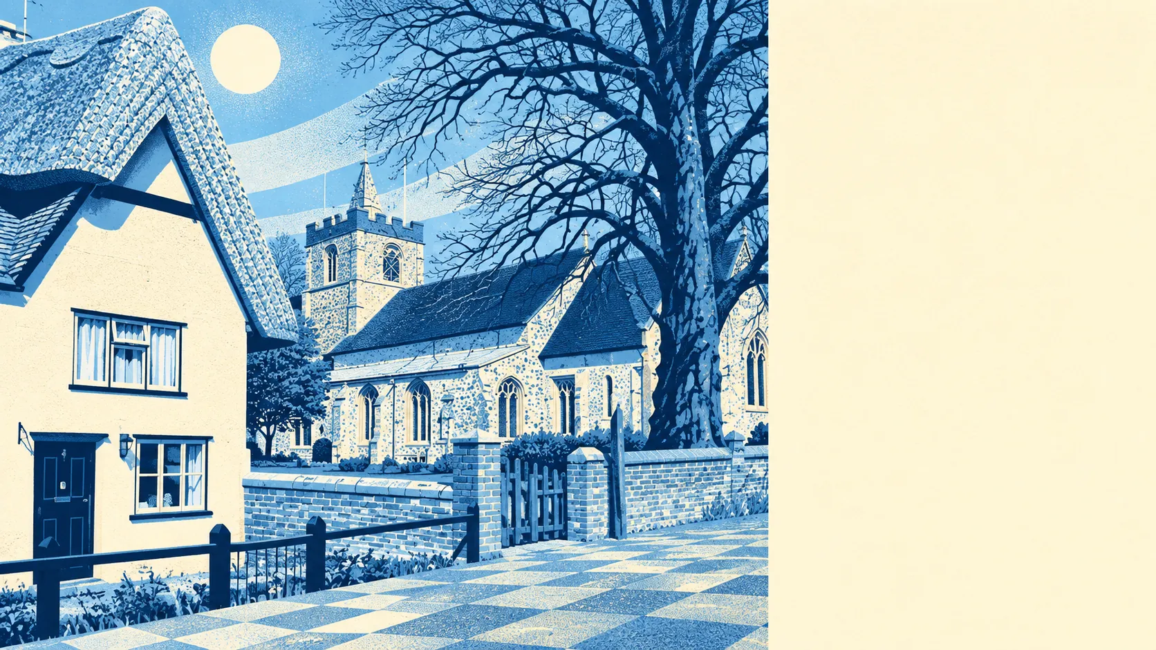
The area around Burton End is farmland with water close by and very little in the way of public green space. Most homes are a short walk from water. Formal green space is a kilometre away or more. There are plenty of pubs nearby and big private gardens. No protected landscape covers any of it.
The average home in Burton End has about half a public green space within a kilometre, and the nearest one is about 1,050 metres away. That counts parks, playing fields and other publicly accessible green land. The fields that surround the hamlet do not count, because they are private.
Water is much closer. The average home is about 350 metres from some form of blue space, with around 17 within a kilometre. The hamlet has more ponds, streams and wet field corners than it has parks.
The nearest stretch of the National Cycle Network is about 1.8 kilometres from the average home, and about 14% of homes are close to it. Cycling here mostly means riding the lanes, because the signed network is a little distance away.
The surrounding postcode districts count 191 shops, 47 pubs and 31 restaurants among their rated premises. Burton End has a lot of pubs for its size, and most of them are a drive away.
Uttlesford District Council's area recorded fine-particle air pollution of about 6.9 micrograms per cubic metre in 2024, a figure for the whole district.
The neighbours give the area its character. Molehill Green, Bamber's Green, Smith's Green, Start Hill, Takeley Street and Elsenham ring the hamlet, and between them they use the word "Green" more often than the public green space shows up on the map. The heritage is older than the roads suggest: the Warish Hall moated site and the remains of Takeley Priory are scheduled monuments nearby, and the Easton Lodge gardens are on the register of historic parks and gardens. Stansted Airport station, among the nearest, brings the twenty-first century into the same landscape.
Private gardens make up for the shortage of parks. The area has about 326,000 square metres of garden for every 1,000 residents. The share of land taken up by gardens looks small because farmland surrounds the hamlet, but the per-resident figure shows Burton End households have plenty of outdoor space of their own.
The valuation list records 239 rateable premises in the area, and offices are by far the largest group at 152. Those are properties on the list, so some may be empty or used for something else. The area has the commercial profile of somewhere next to an airport, and far fewer of its premises are shops than a village of this size would usually have.
There are 42 food outlets with a hygiene rating, and about 93% of them hold the top score. None are rated at the low end. Eating out nearby carries very little hygiene risk.
No protected landscape overlaps Burton End. There is no area of outstanding natural beauty, no site of special scientific interest and no ancient woodland. The countryside here is working farmland and is not protected for its looks.
The area around Burton End is middling for anyone who wants nature on the doorstep. There is water close by and plenty of private garden, but public green space is a drive or a long walk away.