Burton End works as a home right up to its crime figure, which runs to about 257 recorded crimes for every 1,000 residents in a year. That number matters to a buyer because it attaches to the postcode, and the postcode follows the house into every insurance quote and every resale. Everything else is a fairly ordinary bit of rural Essex: big detached houses, old timber, decent schools and a car on every drive. Liveable and middling, with one figure that needs a strong stomach.
Police figures for the year to May 2026 put Burton End at about 257 recorded crimes per 1,000 residents, roughly 316% above the Uttlesford average of about 62. The mix leans one way. Other theft makes up about 20% of the total here against about 7% across England and Wales, while violence and sexual offences, the largest category almost everywhere, account for about 21% against a national 35%. Stansted Airport station is one of the nearest railheads, and a fair share of those thefts perhaps belongs to people passing through with bags. Essex Police charged about 11% of crimes across its whole force area over the same year, slightly under the national 12%.
Green space is further away than the countryside setting suggests. The nearest public park or green space is a little over a kilometre from the average home, and the typical address has about half of one within a kilometre. Water is much closer, about 350 metres away on average, with around 17 patches of it inside a kilometre. Fields surround the hamlet on every side, but the nearest place with a bench and a bin is a kilometre's walk.
The Environment Agency's river-and-sea flood zones barely touch Burton End: about 2% of postcodes are in the medium-risk zone and none are in the high one. Count every flood indicator, surface water included, and the share rises: about 13% of postcodes carry at least one high-risk reading, 11% medium and 18% low. The risk here comes from rain running off roads and fields, which the river maps were never built to catch.
Stansted Airport, Stansted Mountfitchet, Elsenham and Bishops Stortford stations are all within reach. At the 2021 census about 2% of working residents commuted by train, 49% drove and 39% worked from home. Four stations and a 2% train share is the commuting equivalent of paying for four gym memberships. There are 84 bus stops in the area, and those with timetable data average about 129 weekday departures, with 90% running at the weekend. Gigabit broadband reaches about 28% of premises, and about 8% fall below the legal minimum broadband speed. Mobile is better: about 97% of the area gets 4G or 5G from all operators. Department for Transport modelling from 2019 puts the nearest town centre about 16 minutes away by car and 29 by public transport.
About 69% of households own their home, the median resident is 41, and gross household income averaged about £70,500 in the financial year to March 2023, an Office for National Statistics model averaged across the wider area. These are buyers who heard the planes on the viewing and signed anyway, which tells you how much they wanted the four-bed.
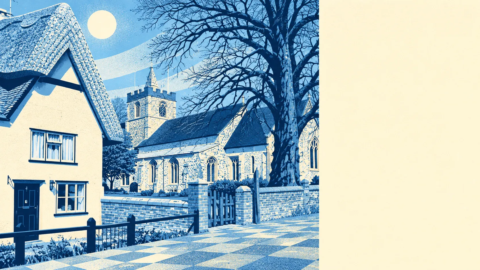
Heritage is dense for a hamlet. There are 92 listed buildings in and around Burton End, two of them Grade I, three Grade II* and 87 Grade II, plus the Smiths Green conservation area and one scheduled monument. Owning a listed home means consent for most changes, inside and out, and the conservation area trims what can be done without planning permission. Replacing the windows on a listed farmhouse involves more forms than a holiday from Stansted.
The Land Registry recorded six sales in the year to early December 2025, at a median of about £372,500. Five of the six were terraced houses, which sold at a median of about £370,000. Terraces make up about 16% of homes here, so the headline price describes the house Burton End has least of. Band E is the most common council-tax band, and only about 13% of homes are in bands A or B.
Across the Uttlesford district, private rent averaged about £1,280 a month in April 2026, with a three-bedroom home at about £1,430. That is a district-wide figure, and nothing in it is measured street by street in Burton End.
The council-tax list, which covers every home, shows a detached-heavy stock: about 34% detached, 25% semi-detached, 16% terraced, 13% bungalows and 7% flats, with about 28% built before 1930. Only about 42% of homes are on mains gas, and about 6% rely on electric heating alone. Of the 118 homes with an energy certificate, about 47% are rated E or worse and 37% reach A to C. The listed beams photograph beautifully and heat badly.
Schools are the strongest part of the case. Ofsted has graded 218 of 246 rated settings across Essex as good or better, 22 of them outstanding, a county-wide count. Locally, the two primary schools in the surrounding postcode districts average about 105 in the Key Stage 2 maths test, and the one secondary school records an Attainment 8 score of about 47. Takeley Primary School and Elsenham Church of England Voluntary Controlled Primary School are among the primaries nearby, with Forest Hall School and Helena Romanes School among the secondaries. The 2019 modelling puts the nearest primary about 21 minutes' walk away and the nearest secondary about 12 minutes by car. Essex has plenty of good schools, and the admissions rules decide which one a child gets.
Burton End works for families who want a four-bedroom house, a strong school list and a drive, and who were going to take the car everywhere anyway. Buyers who want a park on the doorstep, a daily train or a crime figure they never have to explain should look further afield in Uttlesford.
The schools are why families arrive here. The crime rate is what they end up explaining to relatives at Christmas: mostly theft, much less violence than the national mix, and still printed against the postcode when the house goes back on the market. Burton End is a middling, liveable patch of Essex with good schools and one statistic that every buyer has to decide they can live with.