Green, close to hand and without airs. A patch of green space is only a short stroll from the average front door. There's water within a walk. The nearest national cycle route is a proper ride away. It's no national park, but it works as a generous back garden.
The average home is about 93 metres from public green space, with around 30 green spaces within a kilometre. That's a football-pitch length to the nearest grass, and a choice of thirty after that. Dog owners here aren't short of options. The dog decides.
Water is further off but still within reach. The nearest blue space, meaning a pond, stream, lake or canal, is on average about 570 metres from home, and around 5 bodies of water lie within a kilometre. Nobody is buying a riverside lifestyle here. There's enough water to make a walk more interesting.
The National Cycle Network is on average about 2.3 kilometres away, and 0% of postcodes sit close to it. The route exists, but you have to cycle there first.
The rated-premises records for the wider local area list 60 shops, 14 pubs and 3 restaurants. There are more pubs than restaurants several times over, so dinner out usually means a pub with a menu. On food hygiene, 16 food outlets in the area have a rating, and about 94% of them hold the top score of five.
Fine-particle pollution across the Swindon council area averaged about 6.7 micrograms per cubic metre in 2024. That's a council-wide figure and describes Swindon as a whole, not any single street here.
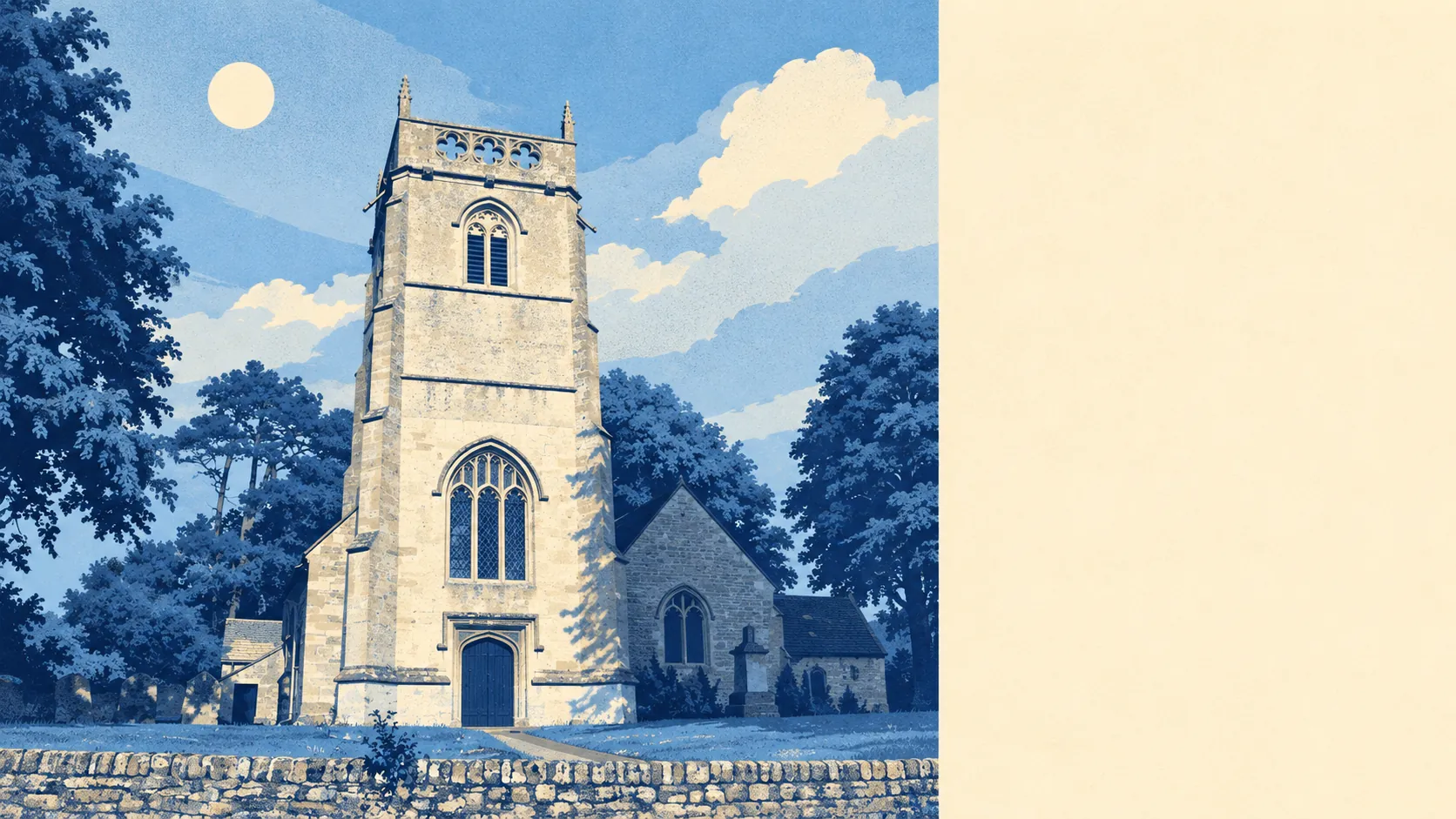
The landscape carries more history than the new estates suggest. Historic England's scheduled monuments nearby include a Roman rural sanctuary on Groundwell Ridge, a Romano-British villa at Kingshill Farm, and the hillfort and lynchets on Castle Hill. People have been choosing this ridge for a view and a quiet life for about two thousand years. Around it sit the old conservation-area villages of Broad Blunsdon, Blunsdon St Andrew, Lower Blunsdon, Hannington and Stanton Fitzwarren, with newer neighbourhoods such as St Andrews Ridge, Abbey Meads and Haydon Wick on the Swindon side. The rural villages and the edge of the town meet here, and neither has won yet.
Private outdoor space is generous. Across the area there are about 153,000 square metres of private garden for every 1,000 residents, a measure of how much outdoor space people actually own. The public parks are a bonus. Most households have room to put a trampoline up and still keep a lawn.
The business rating list records 38 rateable premises within the area itself. These are premises on the valuation list, a mix of shop-type, leisure and other commercial units, and not a register of businesses currently trading. It's a working village edge, not a high street.
Eating out comes with clean kitchens. About 94% of the 16 rated food premises hold the top hygiene score, and 0% sit at the low end. The menu may be limited, but the kitchens are clean.
No protected landscape designation overlaps Broad Blunsdon. There's no area of outstanding natural beauty, no site of special scientific interest and no ancient woodland. The countryside here is ordinary farmland and open space, which also means fewer rules standing between you and a walk.
The surroundings are one of Broad Blunsdon's real strengths. Green space starts at the pavement, water is within reach, and the gardens are big enough to make the parks optional.