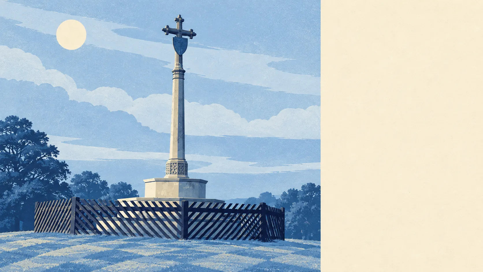
Ampthill is surrounded by parkland, with green space close to almost every front door. Most homes are a couple of minutes' walk from somewhere green. Water is close too. The town has more pubs than restaurants. Most of the land around it is ordinary farmland and parkland, with no official designations.
Green space is on average about 170 metres from an Ampthill home, and about 15 green spaces lie within a kilometre. The biggest is Ampthill Park, a Capability Brown landscape north of the centre, alongside the tree-lined Alameda. The park was designed to be admired from a big house, and these days it is mostly admired by people walking dogs.
Water is about 330 metres away on average, with about 15 bodies of water within a kilometre. They are mostly ponds and small streams, the kind you find on a walk.
The National Cycle Network is about 4 kilometres from the average home, and no postcodes are close to it. Ancient woodland covers none of the area. Anyone after long, signposted cycle routes has to drive to the start of one first.
The rated-premises data covers the wider Ampthill postcode district, which includes villages beyond the town, and counts 175 shops, 36 pubs and 19 restaurants. With nearly twice as many pubs as restaurants, a meal out here is still most likely to come with a pint.
Fine-particle pollution across Central Bedfordshire averaged about 7 micrograms per cubic metre in 2024. That figure covers the whole council area, so it hides any difference between a quiet close and the busy road on the edge of town.
The villages around the town are Maulden, Flitton, Steppingley, Greenfield and Millbrook, and Millbrook is covered on this page too. Houghton House, a 17th-century mansion, now stands as a listed ruin and scheduled monument in its own park. In a district this protective of its old buildings, even a ruin is carefully kept. The town's charter dates from Henry III, and the centre still has a weekly market.
Ampthill has about 119,000 square metres of private garden for every 1,000 residents across its neighbourhoods. That is a lot of lawn. Most of the housing is family homes with gardens, so the parks are an addition to outdoor space at home for most residents.
The council's rating list covers 277 commercial premises in the area. Offices lead with 66 and shops follow with 57, with industrial units and warehouses further down, mostly on the estates along the bypass. These are premises on the valuation list, so some will be empty and some will have changed use.
Of the 52 food businesses with a hygiene rating, about 77% hold the top score of five and about 2% are rated poorly. With so few premises, the low end comes to roughly one place.
No protected-landscape designation covers the area. There is no area of outstanding natural beauty, no site of special scientific interest and no ancient woodland. The countryside here is good to walk in and nobody has formally designated it.
The surroundings are one of Ampthill's real strengths. A Capability Brown park lies within reach of most homes, the gardens are generous, and the high street has more pubs than it strictly needs.