Abingdon-on-Thames records around 69 crimes for every 1,000 residents, and that figure is the one thing between this town and an easy recommendation. Almost everything else points the right way. About two in three own their home, the parks are a couple of minutes from most front doors and the river isn't much further. A buyer here is weighing a comfortable, well-paid Thames town against a crime rate that doesn't match its manners.
Thames Valley Police publishes Abingdon's rate at about 69 crimes per 1,000 people for the year to May 2026, roughly 19% above the Vale of White Horse average. Violence and sexual offences make up about 41% of recorded crime here, against 35% across England and Wales. That is a broad legal grouping that includes common assault without injury. Public order offences come in at about 9% against a national 7%, while shoplifting is below the national share. So the town's trouble is mostly people falling out with each other, and the shops get off comparatively lightly. The best-known disorder in Abingdon's history came in 1337, when a riot over the abbot's control of the market left several monks dead. The modern version is smaller and gets recorded every month.
The Land Registry logged 356 sales in the twelve months to May 2026, at a typical price of £350,000. Flats went for around £225,000, terraces for about £333,000, semis for £370,000 and detached houses for £530,000. Terraces and semis are close enough in price that most households end up arguing about the garden. Band C is the most common council tax band, and only about 17% of homes are in the two cheapest bands, so bills start from the middle of the scale.
The typical private rent across the Vale of White Horse is about £1,330 a month. That figure covers the whole authority, Abingdon and its villages together, so a flat near the market square and a semi out in Drayton both feed into it.
Every dwelling on the council-tax list is counted in the stock figures, and they split it fairly evenly: about 25% detached, 23% semi-detached, 26% terraced and 21% flats, with bungalows at 5%. Only around 10% was built before 1930, and the energy certificates put the biggest single block in the post-war decades. Among certificated homes, 57% are rated A to C and about 7% are E or worse. Mains gas heats about 78% of homes, and around 10% rely on electric heating alone. The abbey got the history. The housing estates got the double glazing.
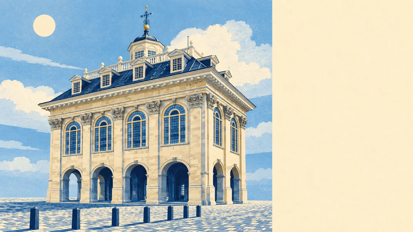
The history is still there, and it has paperwork attached. The area has 298 listed buildings, nine of them Grade I and 15 Grade II*, plus eight scheduled monuments, including the remains of Abingdon Abbey, Abingdon Bridge and Ock Bridge. The Abingdon Town Centre, Albert Park and Northcourt conservation areas add another layer of control, so changing windows, roofs or frontages in those streets means asking first. Long Alley and Brick Alley almshouses are both listed, so even the town's oldest affordable housing needs consent to change its windows.
About 66% of households own their home, and the median resident is 42. Median gross household income was about £65,500 in the financial year to March 2023, a figure the Office for National Statistics models for wider neighbourhoods and averages across the town. Around 44% of adults hold a degree. Since the 1980s the business and science parks have filled up with technology firms, including the global headquarters of the anti-virus company Sophos, and Oxford's research institutions are close by. Abingdon is where a fair share of Oxfordshire's lab coats come home to mow the lawn.
The river gives and takes. About 16% of Abingdon's postcodes are at high risk on at least one flood indicator, surface water included, and about 43% are at low risk on at least one. The Environment Agency's river-and-sea flood zones are tighter: about 11% of postcodes are in Zone 2 and 3% in Zone 3. Around 6% of postcodes have a recorded flood in their history. In 2011 the council voted to add the Thames to the town's official name. The Environment Agency had put it on the map long before that.
Radley, Culham, Appleford and Didcot Parkway stations are all nearby, but fewer than one in a hundred working residents commute by train. About 40% drive, around 39% work from home and roughly 4% take the bus. There are 111 bus stops, each with an average of 46 scheduled weekday departures. Gigabit broadband reaches about 83% of premises and superfast about 98%, so nearly as many people now commute by broadband as by car. The Department for Transport's modelled journey times date from 2019, and its bus times have aged faster than the car and walking ones.
This is where Abingdon is at its best. On average the nearest green space is about 130 metres from home, there are around 22 within a kilometre, and water is roughly 200 metres away. Albert Park is on the national register of historic parks and gardens. Abingdon Rowing Club, based on Wilsham Road, runs the Abingdon Head every April, so the river gets used for more than looking at.
The page also covers Culham, Drayton and Milton, so a buyer who wants the same schools-and-science-park life with fewer neighbours has options within a short drive. Abingdon works best for households with a job in Oxford or on one of the science parks, a need for green space within a short walk, and no wish to live in a listed building. Anyone who wants a short walk to a train station, or who puts low crime at the top of the list, should look further out.
That crime rate is the clause a buyer has to read before signing. It comes mostly from violence and public order offences, and it runs well above the rest of the Vale. For anyone happy to live with it, Abingdon is a better-than-average town: the river and the parks are on the doorstep, the incomes are solid and there's work nearby. Its manners are better than its crime figures, and the people who stay seem to accept the trade.