Yes, and with less argument than most of Devon puts up. Three listed buildings in the whole area, all at the lowest grade. No conservation area. No scheduled monument inside the boundary. The awkward part of building here is underground, not architectural.
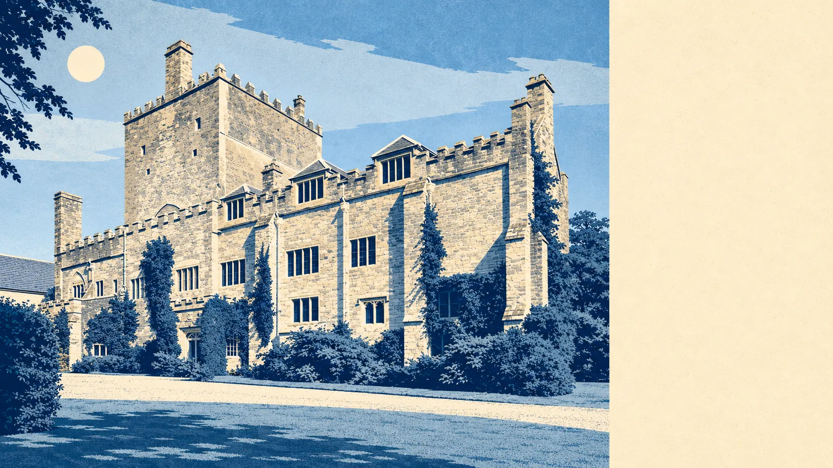
Historic England's register shows three listed buildings within the area, all Grade II, with none at Grade I and none at Grade II star. Listing attaches to the building itself, inside and out, so an owner of one of those three needs listed building consent for anything that alters its character, and character gets read broadly by the people deciding. For every other house here, and that is almost every house, the heritage branch of the process simply never opens. No conservation area runs down anyone's street, and no scheduled monument sits inside the boundary to complicate a footing.
The planning register backs that up from the other direction. It records 323 applications across the area between April 2024 and June 2026, with 134 of those in the last twelve months. Whatever else people do here, they alter their houses, and they do it often enough that a planning officer will have seen your idea before. That register is a record of what was asked for rather than a promise about what came back, so read it as evidence that alteration is normal, not as odds.
The ground is where the local homework lives. About 16% of postcodes sit within reach of a recorded mine working, and 2 postcodes sit directly above one. No part of the area falls within a coalfield consultation zone. In practice that means a solicitor's searches may come back asking for a mining report, and a lender or insurer can want to see it before committing, which is a paperwork step rather than a judgement on the house. On the published ground-stability classifications, nothing here reaches class 3 or above for shrink-swell clay, soluble rock, collapsible ground, compressible ground, running sand or landslide potential, with landslide the only one reaching class 2 and the rest sitting at class 1. Firm enough, in other words, for the sort of single-storey rear extension the register is full of.
For an unlisted house outside a conservation area, the usual permitted development rights apply, and anything beyond them is a standard application with no heritage officer copied in. Two local qualifications are worth knowing before drawing anything. About 13% of the area falls inside the Tamar Valley area of outstanding natural beauty, where materials and design attract closer attention. And the neighbouring settlements covered here, Horrabridge and Princetown, sit inside Dartmoor National Park, where the authority deciding is a different one and the timetable reflects it. Separately from planning, every postcode sits in the higher radon bands with the local maximum at the top of the published scale, which is a building regulations conversation to have with a builder before the concrete goes in rather than a reason not to build.
Freedom to change a house is one of the genuinely easy things about this area: three listed buildings, no conservation area, no scheduled monument, and a register showing the neighbours getting on with it. The scrutiny that would slow you down elsewhere has been replaced by a mining search and a radon conversation, which is a trade most people would take.