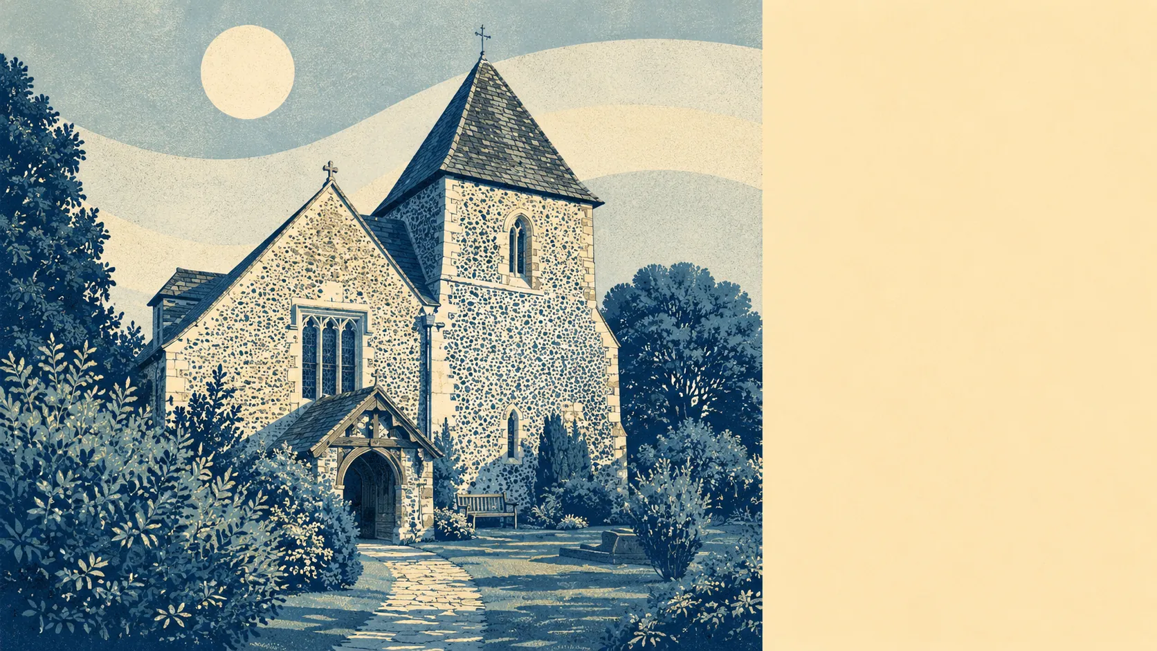
Around Yapton is flat, farmed, and coastal-adjacent. Green space sits an average of about 160 metres from a home, with roughly 16 green spaces within a kilometre. The Channel coast is about a mile and a half south. No National Landscape, no Site of Special Scientific Interest, no ancient woodland inside the boundary. The area is functionally rural rather than scenically protected, and that is the whole story of the price.
Green space is the strongest single number on this section of the report. From the average Yapton postcode, the nearest green space sits about 160 metres away, and there are typically 16 accessible green spaces within a kilometre of a typical address. That is town-scale green-space density inside a village-scale settlement, and it means a household without a car still reaches the outdoors on foot from most of the village. Blue space is close too, with the nearest water on average around 500 metres away and roughly 17 pieces of blue space within a kilometre. Neither number requires the ignition key to reach.
The wider character is small-village Sussex farmland stitched with a ring of similar villages, each holding a parish church, a pub or two, and a few dozen houses that could not quite decide which century to belong to. The nearest neighbours include Barnham, Walberton, Eastergate, Climping, Ford, Bilsham, Binsted, Flansham, Ancton and Middleton-on-Sea, along with the small settlements of Fontwell, Tortington, Toddington, Wick, Atherington, Avisford, Horsemere Green, North End, West Barnham and Elmer. Each carries its own street layout, its own name recognition to anyone who has driven the local roads, and its own version of the same flat-fields-and-hedgerows geography. The historic core of Yapton itself is protected by the Main Road and Church Lane conservation area, and a scheduled monument sits inside the wider boundary. Denmans Garden lies within reach for anyone whose weekend involves formal gardens rather than a beach or a footpath. The Channel coast sits about a mile and a half south at its nearest point, opening onto Elmer, Middleton-on-Sea, Bognor Regis and Littlehampton within a short drive. The disused Portsmouth and Arundel Canal ran through the village between 1823 and 1855, part of an inland shipping route built to move goods between London and Portsmouth without exposing them to French attack in the English Channel. Its route is disused now but still traceable on foot for anyone who knows where the towpath went.
Air quality across the local authority sits at about six micrograms of fine particulate matter per cubic metre, which is a low number for a lived-in landscape and reflects the fact that the traffic and industry pressures a town would carry are simply absent here. What that means practically is that a household choosing Yapton over a coastal town or the outskirts of Bognor is trading a bit of amenity density for cleaner air, quieter roads, and a shorter walk to something green.
The verdict is five out of five, which is where the report's strongest number sits. Yapton itself is unremarkable to look at, but its position on the map is well-chosen: green space at the doorstep, the coast within a short drive, a ring of similar villages for context, and no formal designation to gum up the paperwork. The scenery is not the reason to buy here. The situation is.