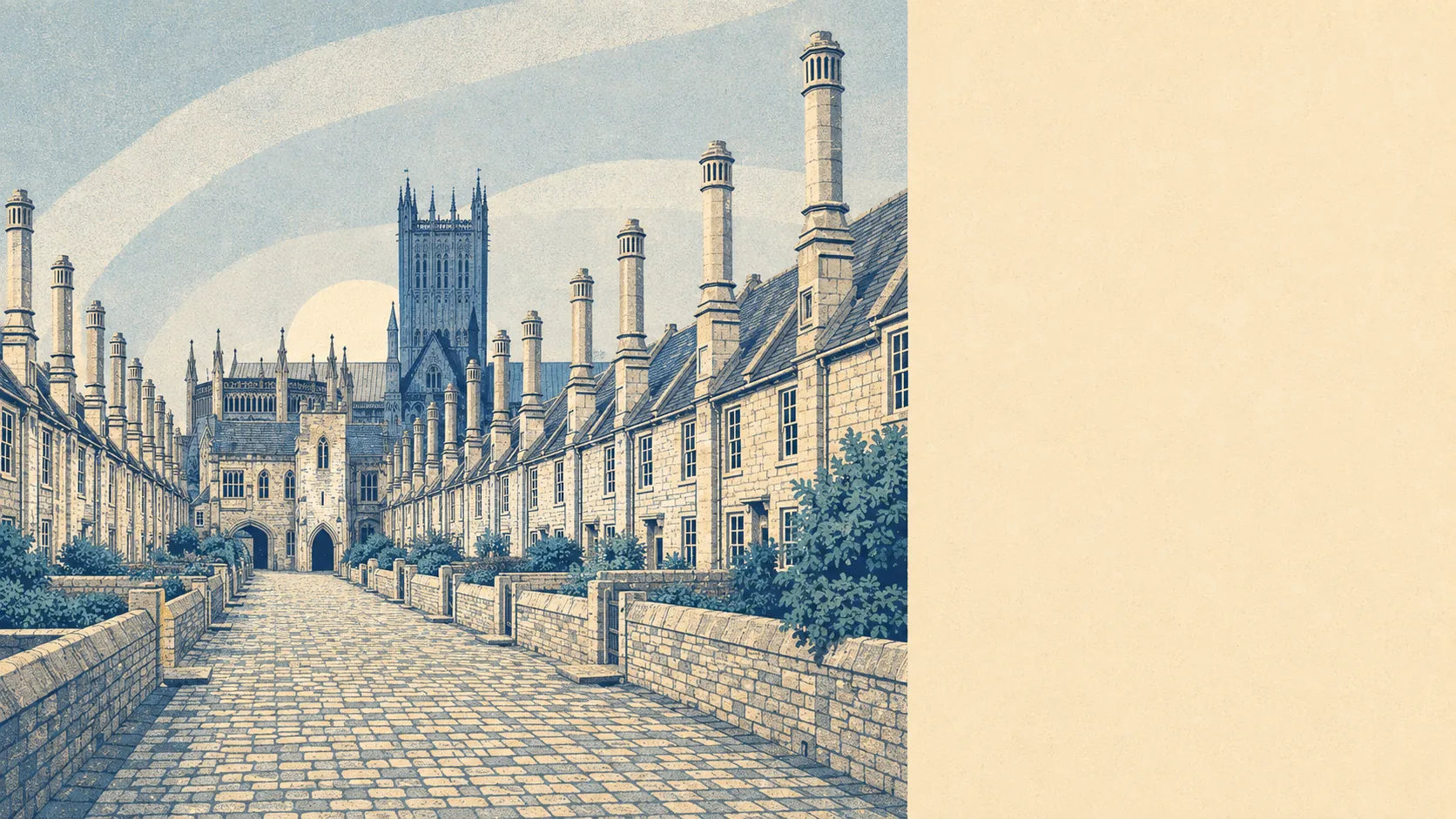
Two landscapes shoved together, with the city sitting on the seam. Behind it the Mendip escarpment climbs, quarried for limestone, riddled with caves and topped with Bronze Age burial mounds. In front, the Somerset Levels go flat and stay flat. Public green space starts within a couple of hundred metres of the average front door, and water is barely further out. If the countryside is why you are looking at Wells, the countryside delivers without argument.
On the green space measures, an average address here has about 20 separate patches of public open space within a kilometre, with the nearest roughly 140 metres away. That is not one large park serving the whole city from the middle. It is a scatter.
Water sits closer still: roughly 260 metres to the nearest blue space on average, with about 41 stretches of it within a kilometre. In a place where streams sink into the hill and reappear at the bottom, that count is less surprising than it first reads.
Getting into the landscape is straightforward. The National Cycle Network runs within about 390 metres of the average postcode, and roughly 68% of postcodes sit close to it. The Mendip Way and the Monarch's Way both pass through the city on foot, and Milton Lodge and The Combe is a registered garden on the slope above it.
The villages set the tone as much as the city does. Wookey Hole and its caves sit just outside, Westbury-sub-Mendip lies along the southern slopes, and Coxley, Dulcote, Easton, Haybridge, Walcombe and Worminster fill in around the edges. Above everything, Pen Hill carries the Mendip television transmitter and a run of round barrows in more or less the same fields, which is the area summarised in one view: prehistoric earthworks, working farmland, and a mast.
On what is actually here commercially, the valuation list records 593 rateable premises across the area, including 169 shops, 144 offices, 25 pubs and 11 restaurants. There are also 58 holiday lets on the list, which is the tourism economy appearing in the property register rather than in the marketing. Those are premises rather than businesses trading today, so treat the counts as capacity rather than as a directory.
For eating out, 96 premises hold a published food hygiene rating, about 80% of them at the top score, and none at the bottom of the scale.
Air quality is unremarkable in the good sense. Fine particle pollution averaged about 5.5 micrograms per cubic metre across the Somerset council area in 2024, which is a council-wide figure rather than a street-level one.
On designations, the Mendip Hills area of outstanding natural beauty clips the edge of the area, overlapping about 0.5% of it, so the protected landscape is next door rather than underneath. No site of special scientific interest overlaps the area at all, and no ancient woodland is recorded within it. Worth saying plainly: the serious protection around Wells is heritage protection in the built fabric, not landscape designation across the fields. The countryside here is farmed, quarried and walked rather than fenced off.
Private outdoor space is the thing almost nobody measures, and it matters more than any park. Across the ten neighbourhoods covered, gardens amount to about 186,000 square metres per 1,000 residents. Houses here have gardens, and the gardens are not gestures.
Judged on its surroundings, Wells needs no defending at all: hills on one side, levels on the other, water and open ground within a few minutes of nearly every door, and a garden behind most of them.