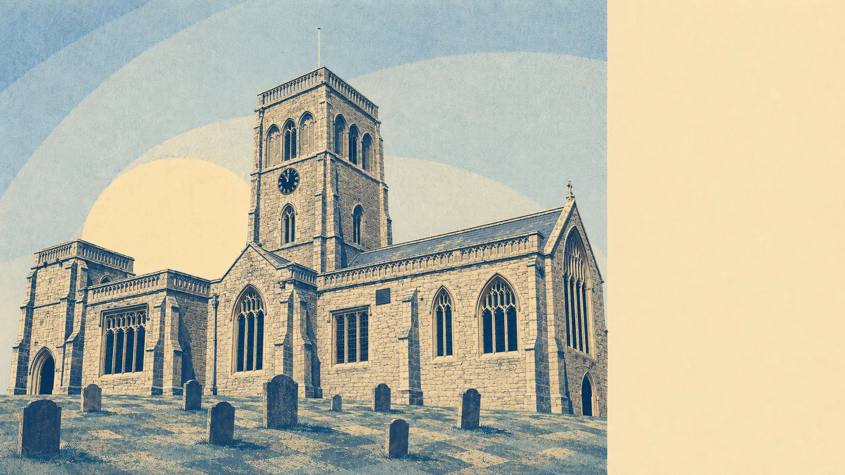
Wet, green, and almost entirely made of somewhere else. Water is closer than the nearest shop. Green space starts at the end of most lanes. The gardens are enormous by any urban measure. This is a village surrounded by moor, ditch and grazing marsh, and the countryside is not a view from here so much as the thing the village is standing in the middle of.
Green space is genuinely on the doorstep. The average postcode here sits about 480 metres from accessible green space, with around six separate patches within a kilometre. That is the kind of access that changes how a household actually behaves, because a walk stops being an outing you plan and becomes a thing you do before dinner without thinking about it.
Water is closer still. Blue space averages roughly 220 metres away, with about 40 separate features within a kilometre of the typical postcode. That number sounds implausible until you remember what the Somerset Levels are made of: rhynes, ditches, drains and arterial watercourses laid across the moors in a grid that has been maintained for centuries. The River Axe and River Brue sit either side of the raised ground the village occupies. You are never far from water here, which is the whole charm and, in February, the whole problem.
Formal cycling infrastructure is thinner. The nearest National Cycle Network route averages about 5,700 metres away, and no postcodes here sit close to one. Cycling in this area means lanes and droves rather than a signed traffic-free path, which suits confident riders and worries parents. There is no ancient woodland recorded in the area at all, which for a landscape of drained grazing marsh is exactly what you would expect.
Air quality is clean. Fine particulate levels for the Somerset council area ran at about 5.5 micrograms per cubic metre in 2024, which is the sort of figure a rural district with no motorway and no industry produces without trying.
The private outdoor space is the number that actually distinguishes this place. Gardens work out at roughly 350,000 square metres per thousand residents. Translated into ordinary language: people here have proper gardens, of the sort that need a mower with an engine and a shed to keep it in. The share of total area given over to gardens looks small, but that is because the denominator is farmland, and comparing a village to a city on that basis tells you nothing useful.
On the valuation list, 160 rateable premises sit within the area. The largest single category is shops at 36 premises, followed by offices at 27, then a group of workshop and light-industrial units. There are five pubs and three restaurants. That is a working village high street rather than a destination one, and the rating list records premises rather than trading businesses, so some of those addresses will be doing something entirely different by the time you visit. What it does tell you is the shape of the place: enough to buy a pint of milk and a pint of something else, not enough to spend a Saturday.
Of the 30 food premises with a current hygiene rating, about 87% hold the top score, and none sit at the bottom of the scale. Eating out here is a small field with a good record.
Worth being straight about the designations, because their absence surprises people. No area of outstanding natural beauty overlaps this area and there is no ancient woodland. A sliver of Westhay Moor Site of Special Scientific Interest touches the edge, covering under 1% of the area. The landscape here is protected less by designation than by being agricultural, low-lying and awkward to build on, which has worked rather well so far.
The surroundings are the strongest thing about this place by a comfortable margin. Water at 220 metres, green space at 480, gardens you could lose a child in, and a horizon made of moor rather than roofline. Wedmore is not somewhere you buy for the amenities. It is somewhere you buy for the walk out of the front door.