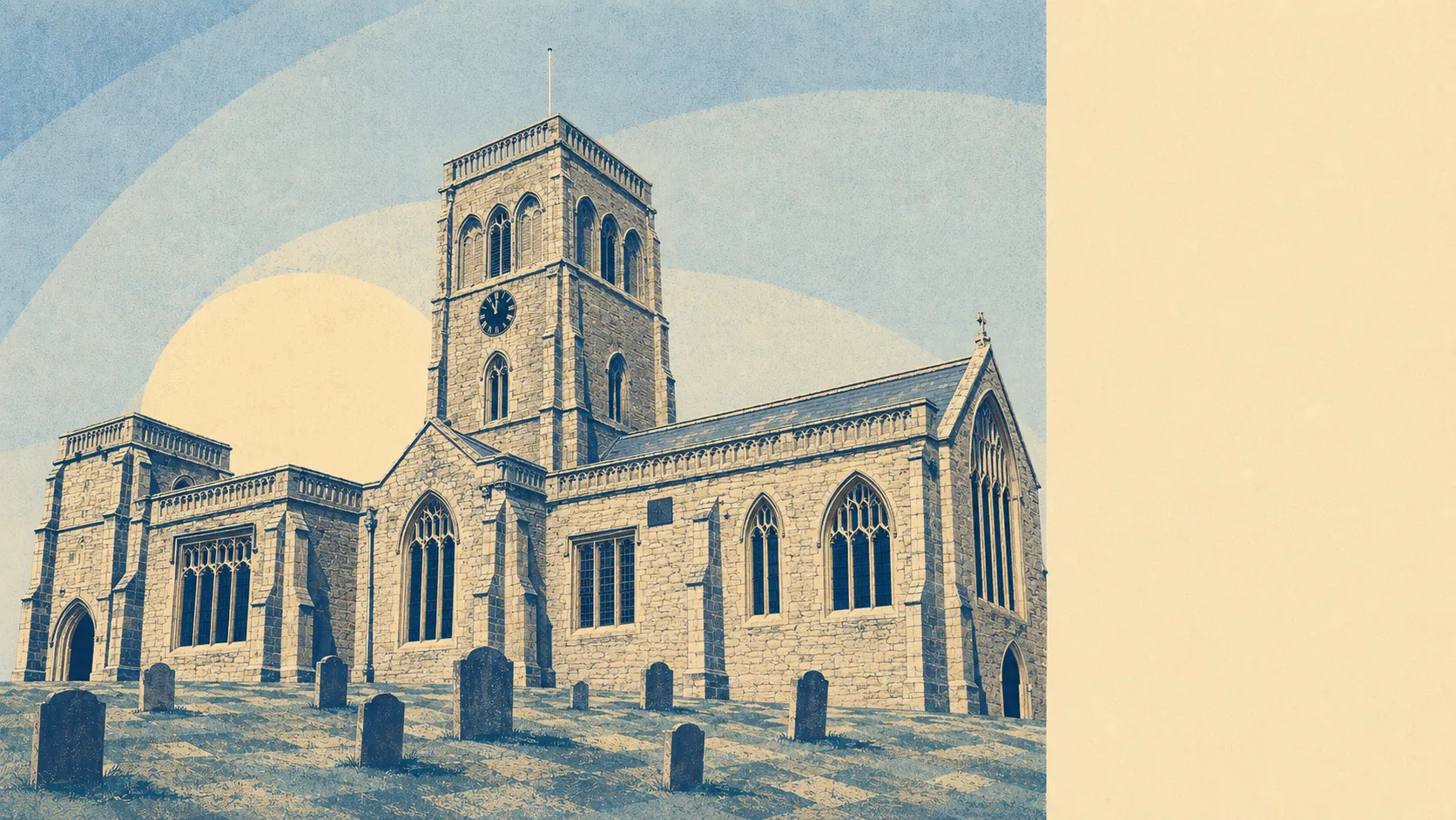
Wedmore is dry money sitting on high ground above wet fields. About six in seven households own outright or on a mortgage. The typical resident is comfortably into their fifties. Four in ten work from home, and almost nobody catches a train. It is a village that solved its own commute by opting out of one, and priced itself accordingly.
The housing is houses, in the plainest sense. On the council-tax valuation list, which covers every dwelling rather than only the ones with a recent energy certificate, just under half the stock is detached and around a fifth is bungalows. Semis account for 18% and terraces 8%, and flats barely register at 3%. Around 29% of it went up before 1930. Heating is where the rural arithmetic bites: only 36% of homes are on mains gas, which leaves the rest on oil, tanks, or whatever the last owner installed and stopped thinking about. Around 4% run on electricity alone. On energy certificates, 35% of the certificated stock sits at band D and 28% at band E or worse, against 38% reaching band C or better. A thick-walled Victorian house on the Isle of Wedmore with no gas main is a lovely thing to own and an expensive thing to warm.
The Land Registry's last twelve months to March 2026 put the typical sale at £565,000 across 44 transactions. Detached houses, the dominant type, ran to a median of £640,000. Semis came in at £478,000, and the three flats that changed hands sat at £315,000. Council tax follows the same shape: the most common band is E, and only 17% of dwellings sit in bands A or B. A band D bill in this area runs to roughly £2,560 a year, and band H to about £5,120. This is not a place with a cheap end. It has a less expensive end, which is a different thing entirely.
Renting is the minority sport here, and the honest figure is a wider one. Typical private rent across the Somerset area runs at about £990 a month, up around 4% over the year. That is a county-wide average covering Bridgwater, Yeovil and everywhere else, so it tells you very little about what a four-bedroom farmhouse conversion off Blackford Road actually costs. Take it as the floor of the conversation rather than the answer.
Crime is where the village genuinely delivers. The published rate is around 46 recorded crimes per thousand residents over the twelve months to May 2026, roughly half the Somerset average of 93. Violence and sexual offences make up 42% of the recorded mix, which is a broad statutory grouping and the largest category almost everywhere, and burglary runs at 6% against a national share of 4%. Avon and Somerset Constabulary charges in about 11% of cases, which is close to the national picture and no comfort at all if you are the one reporting it. Rural burglary is the one number here that should make you buy decent locks rather than assume the postcode does the work.
Connectivity splits cleanly into brilliant and absent. Broadband is the brilliant half: gigabit-capable service reaches 84% of premises, superfast reaches 92%, and not a single premise falls below the universal service obligation. At least one mobile operator gives fourth or fifth generation coverage across effectively the whole area, at 100% once rounded. Then there is everything involving wheels. No resident commutes by rail and 0.4% by bus. Half drive. The Department for Transport's modelling puts the nearest town centre at 22 minutes by car and 51 minutes on public transport, and a hospital at 31 minutes by car against 111 minutes without one. There are 27 bus stops in the area, 20 with published service data, averaging five weekday departures each and none at all in the peak hour. Two in five stops see any weekend service. Own a car or own a bicycle and strong opinions about hills.
The water is the thing everyone eventually asks about. On the postcode indicators, which count at least one flood risk including surface water, 26% of postcodes carry a high rating and 14% a medium one. The narrower Environment Agency river-and-sea zones are much tighter: 4% of the area sits in flood zone 3 and 1% in zone 2, rising to 8% under the climate-change allowance. Three flood events are on the record, the most recent in February 2014, caused by main-river overtopping of defences. Roughly 9% of postcodes sit under the Axe Brue Internal Drainage Board, which is what an area looks like when the water needs managing by committee. On the ground floor of the compensation: green space averages 483 metres away with around six patches within a kilometre, water is closer still at 216 metres, and Westhay Moor Site of Special Scientific Interest sits on the edge of the area. Air quality is clean at 5.5 micrograms of fine particulates per cubic metre. Ground conditions are worth a survey: almost the entire area sits in the higher compressible-ground classes, and 37% of postcodes fall in radon band three or above.
Heritage is generous and, if you own a piece of it, restrictive. There are 138 listed buildings in the area, one at grade one, four at grade two star and the remaining 133 at grade two. Two conservation areas, Wedmore and Stone Allerton, plus seven scheduled monuments including the Blackford Manor House Moat and the manor house at Mudgley. If your house is listed or sits in a conservation area, the windows, the roofline and the front door stop being your decisions and start being applications. Buyers who want a period cottage and modern glazing are asking for two things the planning system has already decided are incompatible.
The character follows the money. Home ownership runs at 85%, the median age is 52, and typical household income comes in around £59,000 gross before tax, modelled by the Office for National Statistics. Around 43% hold a degree. Two-thirds of households run two or more cars, and just 4% have none. Over half of homes have four or more bedrooms. This is a village of people who arrived with a plan, executed it, and have no intention of moving again.
It suits the well-paid remote worker who wanted acreage and got it, the family who will take a fifteen-minute drive to secondary school in exchange for one of the lower crime rates in Somerset, and the downsizer who wants a bungalow with a garden and a pub within walking distance. Wedmore First School Academy sits in the village, and Somerset has graded 101 of its 140 inspected settings good or better.
It does not suit anyone who needs to rent, anyone without a car, or anyone who thinks a listed cottage is a blank canvas. If a bus that arrives when you need it matters more than the view from the kitchen, Bridgwater does the job honestly and costs a great deal less to do it in. If you want the countryside with the services attached, Cheddar is up the road doing exactly what it promises, gorge and all, without asking Wedmore's prices for the privilege.
The village has a longer memory than most. Alfred the Great celebrated here after the Viking leader Guthrum's baptism in 878, the market cross has stood since the fourteenth century and was shifted a hundred yards in the 1830s to widen the high street, and John Westover ran what is thought to be England's first private asylum here in the seventeenth century, keeping his patients supplied with playing cards and tobacco. Hannah More opened a Sunday school in 1799 against the objections of the vicar. Jos Buttler grew up here. So the village has produced one England wicketkeeper, one enlightened madhouse and a great many opinions about planning applications.
Wedmore is a good place to live if you can afford to live in it, and that sentence carries the whole verdict. Its real strength is what surrounds it: the moors, the water, the green space at the end of nearly every lane, and a crime rate that makes Somerset's average look like someone else's problem. The weak spot is the price of getting in, which buys you a house rather than value, and a stock of period property that costs money to heat and needs permission to change. It wants Bruton's prices and keeps Cheddar's mud, and would faint clean away if it woke up in Frome.