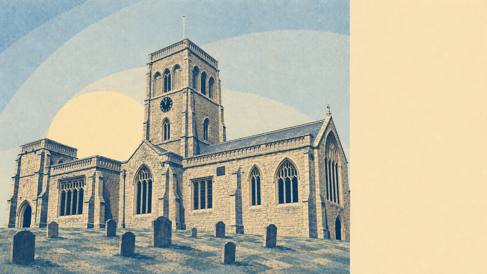
Parts of it, yes, and the parts matter more than the average. The village sits on raised ground. The land around it does not. A quarter of postcodes here carry a high rating on at least one flood measure. The Isle of Wedmore is called an isle for a reason, and the reason is what happens to everything else in February.
Start with rivers and the sea, which is what the Environment Agency's flood zones measure. About 4% of the area's postcodes fall inside flood zone 3, the highest-probability band, and about 1% fall inside flood zone 2, which is the additional medium-probability fringe lying beyond zone 3 rather than a larger area containing it. That is a small share of the whole, and it is concentrated exactly where you would expect: the low ground, the moors, the land the River Axe and River Brue have been quietly rearranging for centuries.
Surface water is the broader problem and the one people underestimate. Across the area's postcodes, roughly 26% carry a high rating on at least one flood indicator, 14% a medium rating and 38% a low one. Those bands fold surface water in alongside rivers and sea, which is why they run far above the river-and-sea zone shares above. They are a different measure of a different thing and should never be added together. A high surface-water rating usually means water running off saturated fields and pooling where the lane dips, which is less dramatic than a river breaking its banks and considerably more common.
Looking forward, the Environment Agency's climate-change allowance pushes the zone share to about 8% of postcodes. That is the modelled picture with future rainfall and sea levels factored in, and it roughly doubles the footprint. Not a catastrophe. Not nothing either.
For insurance, the practical advice is the same as it always is and almost nobody follows it: get an indicative quote on the specific address before you instruct a solicitor, not after. A property in a high-risk band can be perfectly insurable and still cost meaningfully more, or carry an excess that only becomes interesting when you claim. The Flood Re scheme exists to help with domestic cover, but it does not cover homes built since 2009, so a new-build on former farmland is outside it entirely.
The count of homes is more useful than the share of postcodes. On the Environment Agency's rivers-and-sea mapping, 369 properties across the area sit in postcodes carrying some level of risk. Of those, 120 are rated high, 21 medium, 41 low and 33 very low. Only postcodes with some risk appear in that list at all, so the great majority of the area's homes are simply absent from it, which is the good news buried in the numbers.
Whether anything stands between the water and the house is a fair question and the answer is mostly no. About 3% of postcodes sit inside a modelled high-risk extent with no defence present, against about 2% where a defence is present in the model. Present in the model is not the same as safe. It means a structure exists and has been accounted for, not that it will hold, and the recorded history here makes the point: three flood events are on the record, the most recent in February 2014, caused by overtopping of defences on a main river.
Roughly 9% of postcodes fall under the Axe Brue Internal Drainage Board, which manages watercourses across this landscape. The shoreline management policy for the coast nearest here is hold the line over the twenty, fifty and hundred-year horizons. That is a stated intention to maintain defences, not a guarantee that funding arrives or that the defences exist yet. At the nearest tide gauge, at Devonport, the measured trend across the 1962 to 2015 record runs at about 2.35 millimetres of sea-level rise a year. A historic measurement, not a forecast, and the coast is nearly eight kilometres away at its closest.
Flooding is one of the weaker parts of Wedmore's case. The village itself sits high and dry by design, but a meaningful slice of the surrounding area does not, and the difference between a good buy and a bad one here is measured in metres of elevation rather than miles of postcode. Put the exact address into the Environment Agency's long-term flood-risk service before you fall in love with the kitchen.