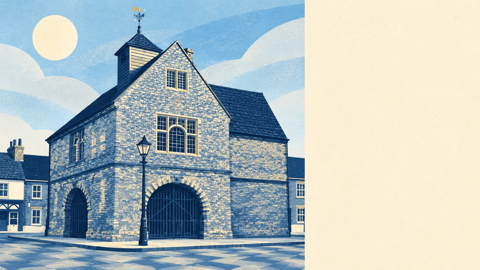
The countryside around Watlington is the best thing about living there, and it starts almost at the front door. Green space is a couple of minutes' walk from most homes. Water is nearly as close. The Chilterns rise straight up behind the town, with hamlets tucked into the hills. Anyone moving here for the walking has picked the right town.
Green space is about 180 metres from the average home, with about 11 separate green spaces within a kilometre. That is a short walk to a field or a footpath from almost every street. In a town this size, the countryside is never more than a few minutes away.
Water is just as easy to reach. The nearest pond, stream or other open water is about 225 metres from the average home, and about 24 bodies of water lie within a kilometre. None of it is large, but there is plenty of it, which is typical of a town at the foot of chalk hills.
The National Cycle Network is not close. The nearest route is about 8.6 kilometres from the average home, and no postcode in the town is within easy reach of it. There is no ancient woodland inside the area either, so anyone who wants older woods has to head up into the hills beyond the town edge.
Day to day, the town has about 29 premises rated as shops, nine as pubs and one as a restaurant. That is a lot of pubs and very few places to eat, a balance the town has kept for a long time. By the end of the eighteenth century Watlington had six inns, all of them bought up by a local brewing family.
Across South Oxfordshire, fine-particle pollution averaged 6.7 micrograms per cubic metre in 2024. That is a district-wide reading, and there is little traffic or industry in the town to push it higher.
The Chilterns designation, the one protected landscape that reaches this far, overlaps only about 2% of the area itself. No site of special scientific interest falls inside it and no ancient woodland is recorded. The protected countryside starts just past the town boundary, on the hills that make the view.
The character comes from the farmland and the hills rather than any formal designation. Greenfield and Howe Hill are hamlets in the Chilterns above the town, while Pyrton lies about a mile to the north and Shirburn has its castle and park. Watlington Park, Pyrton Manor and a scattering of village churches fill out the surrounding fields. The town began beside the Icknield Way, and its name records the people of a man called Waecel, who settled here around the sixth century. In all the centuries since, nobody has found a better spot nearby.
Private outdoor space is generous. Across the town's two neighbourhood areas, there are about 292,000 square metres of garden for every 1,000 residents, measured as garden ground only and leaving out the farmland around them. Most homes have a proper garden of their own as well as the countryside beyond it.
The valuation list for business rates records 101 premises in and around the town, led by 30 offices and 28 shops, with smaller numbers of workshops and other premises after that. These are rateable premises on the list, not a count of businesses trading this week. The pattern is a small market town with a lot of small offices.
Of the 22 food premises the Food Standards Agency has inspected, about 68% hold the top hygiene score of five and fewer than 5% are rated low. That is a good record for a town with few places to eat.
The surrounding area is Watlington's strongest point. There are fields and water a few minutes from almost every door, generous gardens, and the Chilterns rising behind the town for anyone who wants the hills.