A typical house in Watlington costs close to half a million pounds, and that price is the one thing standing between most buyers and a very comfortable life under the Chilterns. Fields start a few minutes from most front doors. Crime runs below the rest of the district. Four in ten people work from home. Getting in is the hard part, and it is expensive.
The Land Registry recorded 24 sales in Watlington in the year to May 2026, at a typical price of about £479,000. That is a small number of sales, and one big house can drag it a long way. The six detached houses that sold had a median of about £628,000, the eleven semis about £495,000, and the five terraces about £328,000. For most first-time buyers the terrace is the only way in, and there were five of them all year. Council tax is mostly Band D, and only about 9% of homes are in the two cheapest bands. The bottom of the ladder here is short, and the queue for it is long.
Renting doesn't get much cheaper. The Office for National Statistics puts typical private rent across South Oxfordshire at about £1,380 a month. That is a district-wide figure, not Watlington's own, and it is down a fraction on the year. A one-bed across the district averages about £1,030 and a three-bed about £1,590, so the rent goes up with the bedrooms much as the purchase price does.
The council-tax valuation list covers every home in the town. On it, semis are the biggest group at 33%, detached houses 29%, terraces 21%, and flats and bungalows about 9% each. About 37% were built before 1930, and the old core goes back a long way: Couching Street and Brook Street were already on record in the fourteenth century. About half the homes with an energy certificate are rated C or better, and 17% are E or worse. Most homes, about 65%, are on mains gas, but 18% heat with electricity alone, and a buyer wants to know which kind they are viewing before they fall for the beams. Medieval streets were laid out for carts, and cavity walls came much later.
About 73% of households own their home, the median age is 50, and modelled household income for the area was around £68,000 gross in the financial year to March 2023, an Office for National Statistics estimate averaged across the local area. That is a town of people who arrived, paid up and stayed. Anyone chasing a young, transient crowd will spend a lot of evenings alone with the Chilterns.
The flood picture depends on which measure is used. The Environment Agency puts about 1% of the town in its highest river-and-sea flood zone and 2% in the zone below it, rising to about 8% in its climate-change modelling. Nothing shows up in the historic flood record. The postcode measure is less reassuring: 16% of postcodes are rated high on at least one flood indicator including surface water, and about 20% medium. The river maps leave out rain running downhill, and Watlington sits at the foot of a range of hills.
For getting about, the town runs on the car and the router. In the 2021 census about 42% drove to work, 41% worked from home and under 1% took the train. Gigabit broadband reaches about 90% of premises. The 11 bus stops average about 7 weekday departures each, and only 5 of them see a weekend service. The Department for Transport's 2019 modelling puts the nearest big employment centre about 25 minutes away by car. On a Sunday the fibre is the most dependable way out of town.
Thames Valley Police figures give a recorded crime rate of about 42 per 1,000 residents in the year to May 2026, roughly 15% below the South Oxfordshire average. Parliamentarian troops were billeted here during the Civil War, and John Hampden is thought to have spent the night in town before the Battle of Chalgrove Field. Things have been calmer since.
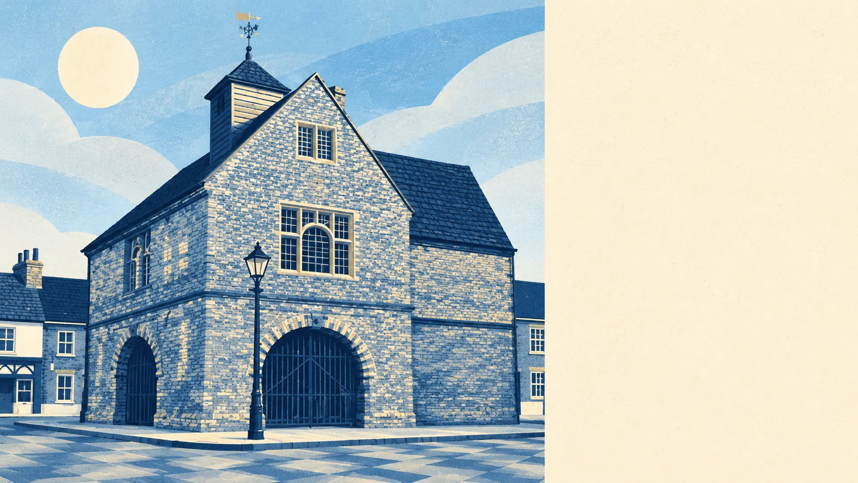
There are 92 listed buildings, three of them Grade II* and the other 89 Grade II, and the Watlington conservation area covers the historic centre. In practice that means windows, doors, roofs and extensions in the old core go through the council's planning process first, and the answer often depends on what the house looked like two centuries ago. Thomas Stonor paid for the Town Hall in the 1660s, and the town paid to restore it by public subscription in 1907. Anyone altering a frontage within sight of it now pays in paperwork.
The surroundings are where Watlington does best. Green space is about 180 metres from the average home, water about 225 metres, and the Chilterns rise straight behind the town, with the hamlet of Christmas Common up in the hills. The surrounding villages share the page and the postcode: Pyrton a mile to the north, Shirburn with its castle and park, Lewknor and Aston Rowant towards the motorway, and Cuxham, Easington, Britwell Salome and Brightwell Baldwin out across the fields. In 2015 a metal-detectorist turned up the Watlington Hoard, silver from the time of Alfred the Great. The countryside here keeps giving.
The people who stay tend to stay a long time. Bill Stone, a Royal Navy veteran of the First World War, lived in Watlington until he was 106. The pianist Eric Parkin lived on the High Street, and the actors Jeremy Irons and Sinéad Cusack have a home here. A town that holds on to its residents that long has done something right.
Watlington is right for home workers who have the deposit, drivers heading to Oxford or the motorway, and anyone who wants hills at the end of the road and the bins collected on time. Renters on a tight budget, anyone without a car, and young people looking for nightlife should look somewhere bigger.
The price is the problem. Close to half a million for a typical house, and a handful of terraces a year for everyone else, means a buyer pays in full for the walks, the low crime and the hills before seeing any of it. If you can find the money, Watlington is a better place to live than most, and the view of the Chilterns from the back gate is what that money buys.