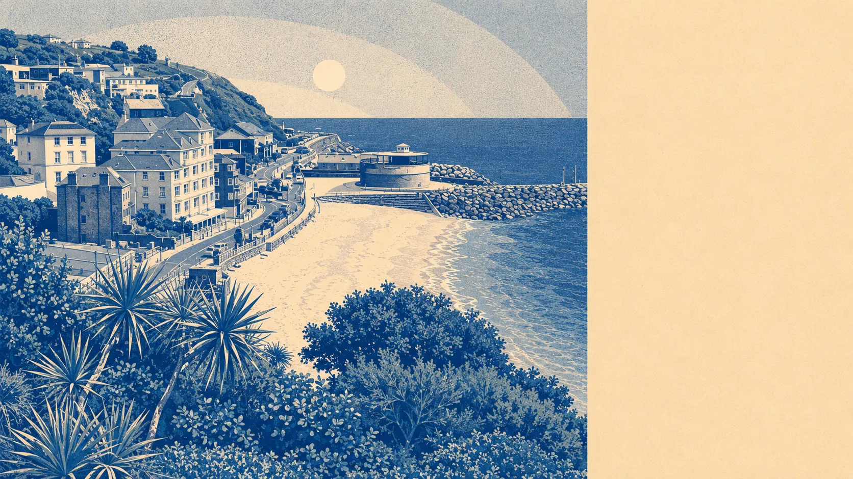
Greener than most south-coast towns, with the sea thrown in. Open space sits about a hundred and twenty metres from the average front door. The sea sits about two hundred and seventy-five. Around thirteen distinct open spaces fall inside a kilometre of any home. The town doesn't have countryside near it; it has countryside around it.
For green-space access, the numbers are unusually generous. The average front door is about a hundred and twenty metres from a piece of open space, and a kilometre's walk takes in roughly thirteen distinct ones. The blue equivalent runs a little further. The sea is around two hundred and seventy-five metres from the average door, and within a kilometre any home sits within reach of nearly forty bodies of water, counting the sea, the streams, the springs and the small inland features. The Isle of Wight Coastal Path passes through. The downs at the back of the town rise to St Boniface Down at the highest point on the island. The Botanic Garden sits in the town itself, Cascade Gardens was laid out in 1903 and still flows, and Ventnor Park took Park of the Year at the South and South East England in Bloom Awards in 2016.
For formal designations, the picture is light inside the boundary and heavier just outside. The island's Area of Outstanding Natural Beauty covers about nine percent of the boundary at the upper edges of the town, mostly the downland to the north and the western coastline. Sites of Special Scientific Interest don't overlap with the boundary itself, but they sit close enough to walk to: Ventnor Downs, St Lawrence Bank, Rew Down, the Bonchurch Landslips, and the coast stretching west toward Steephill Cove which forms part of the island's largest such site. Four scheduled monuments sit in the immediate vicinity, including Appuldurcombe House and a cluster of bowl barrows on Week Down and Luccombe Down that mark Bronze Age burial sites. Heritage and ecology share the geography here.
What it feels like to live with. The immediate neighbours are the settlements that grew up along the same stretch of coast: Bonchurch at the eastern edge, St Lawrence at the western, Lowtherville at the top of the hill, and Steephill in between. The next towns out are Shanklin to the north-east, Niton and Whitwell to the west, and Wroxall over the downs. Shops, pubs and restaurants concentrate at the bottom of the hill on the High Street, Pier Street and the Esplanade: about a hundred shops, sixteen pubs and sixteen restaurants serve a population of about five and a half thousand residents. That kind of ratio holds up because the holiday economy adds bodies the census doesn't count, with around two hundred and sixty holiday lets registered in the area. Roughly two in three food outlets rated by inspectors score five stars on hygiene. Four electric-vehicle chargers and a single rapid connection sit inside the boundary. Modern convenience layered over Victorian fabric, with countryside starting at the back door and the sea at the front.
A surrounding area as good as any small south-coast town can offer, and better than most of them. The view does most of the heavy lifting, and there's more of it than the town itself.