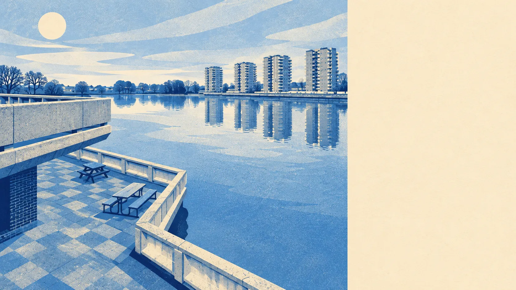
Yes, Thamesmead is at serious risk of flooding, and its defences are what keep that risk from becoming water in the house. About three-quarters of the area is in the highest river-and-sea flood zone. Allow for climate change and almost all of it is. The last great flood here came through a breached defence. The Thames had this land first, and only a wall is holding it back.
On the Environment Agency's river-and-sea mapping, about 75% of Thamesmead's postcodes are in flood zone 3, the highest-probability band, and another 8% are in zone 2, the medium-probability fringe beyond it. The two bands do not overlap, so zone 2 is the extra land around the edge of zone 3 and is smaller because most of the area is already in zone 3. Both zones map the land as though there were no defences. Of the 216 floods on record, the most recent was in 1953, when the sea came through a breach in the defences, and the estate was designed with that flood in mind.
Surface water from heavy rain has no figure of its own for Thamesmead here. It appears only inside the combined postcode indicators further down, so this answer gives no separate surface-water figure. The river is the main risk on this side of London anyway.
The Environment Agency also maps the flood zones with an allowance for climate change, and on that version about 94% of Thamesmead's postcodes are in the zone. That is the agency's modelled view of where the flood extent goes as conditions change. It does not predict when, and almost none of Thamesmead is outside it.
Insurance is where the risk turns into money. A home in the highest flood zone on a modelled river-and-sea extent will usually face more questions, higher premiums or a higher excess than a similar home on higher ground, and the size of the difference comes down to the property. Ask the insurer, using the exact address, whether the ground floor counts as living space or as the garage level the original estate put there, because flood cover depends on what the water would actually reach. Get that quote early, while backing out is still cheap.
Looking at postcodes, about 9% of Thamesmead's are rated high risk on at least one flood measure, 11% medium and 31% low. These ratings combine several measures, including surface water and rivers and sea, so a postcode counts if any one of them is high. That is a different measure from the flood zones above, and it answers a different question.
The Environment Agency's count of properties at risk from rivers and the sea, which allows for defences, puts 93 properties at high risk and 14 at medium risk, and 6,896 at very low risk. That count only covers postcodes carrying some risk, which here comes to 7,951 properties. Of the 93 at high risk, 83 are homes. Seven thousand properties at very low risk, behind defences, all inside the highest flood zone, is a combination you will only find in places like Thamesmead.
The defence question has a clear answer. About 54% of Thamesmead's postcodes are inside the high-probability flood extent when the model leaves the defences out. Put the defences into the model and the figure drops to about 2%. "Defended" here means a defence exists in the model. It says nothing about any one property being safe, and in 1953 the defence was the part that gave way. Almost all of the difference between those two figures comes down to how high and how sound the walls are.
The nearest tide gauge with a long record is at Dover, where the sea rose by about 2 millimetres a year between 1961 and 2010. That is the rate measured at that gauge over that period, against a coast built to stay above it.
Flood risk is Thamesmead's weakest point and the reason the place is built the way it is. Anyone buying here is buying the defences along with the house, so read their record before you read the brochure.