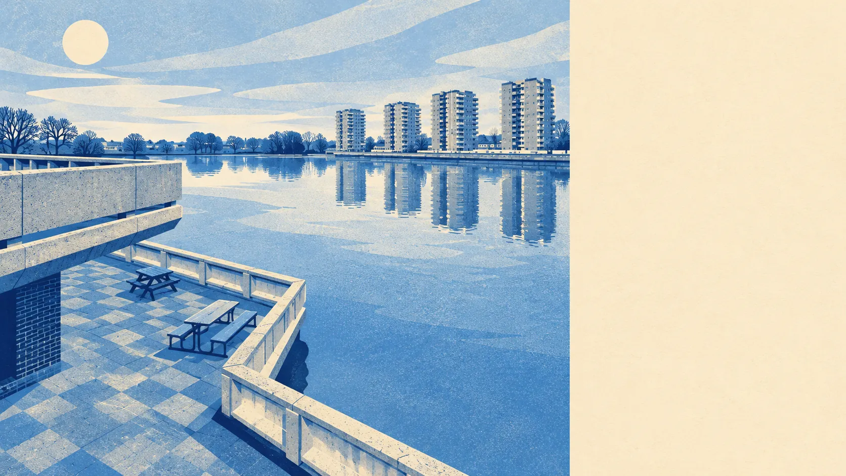
Thamesmead hands owners more freedom to change their homes than almost anywhere in London, on land that floods whenever the river gets its way. Nearly everything was built after the marsh was drained, so heritage officers have little to protect. About three-quarters of it is in the highest river-and-sea flood zone. The walls are yours to move. The ground answers to the Thames.
The heritage picture is thin. Eight listed buildings stand in and around the area, every one of them Grade II, and the only conservation area in reach is Crossness, on the eastern edge. The housing was mostly built in the late twentieth century by the Greater London Council and its successors, so for a typical terrace or flat there is no listing and no conservation area to slow a planning application, and nobody arguing that your 1980s window frames are part of the nation's story. The grandest protected structure on this stretch of river is the Former Crossness Pumping Station, a Victorian building put up to move sewage. Your loft conversion is well down the heritage lobby's list.
Flood is the other side of that freedom. The Environment Agency's river-and-sea flood zones put about 75% of Thamesmead in zone 3, the highest band, and another 8% in zone 2. Those zones map the land as if the defences were not there. The agency's separate count of properties at risk from rivers and the sea, which does allow for defences, puts 93 properties at high risk. On the wider postcode indicators, which include surface water, about 9% of postcodes are at high risk on at least one measure and about 11% at medium risk. The last recorded flood here came from the sea in 1953, through a breach in the defences, and the estate was designed with that night in mind. There is an elevated escape route running along a grassed mound north of the Lesnes neighbourhood. The architects plainly read the same maps you will.
The people who live here are young and mostly rent. Only about 32% of households own their home, 35% rent from a social landlord and 30% rent privately. The median resident is 34. The Office for National Statistics models gross household income across the area at about £64,000 for the financial year to March 2023, before tax. The Greater London Council built Thamesmead to rent to families leaving overcrowded Victorian housing in inner south-east London, and on ownership the place has stayed close to its original brief.
Buying is cheap by London standards. The Land Registry's figures for the year to May 2026 put the median sale at about £344,000, across 153 sales. Flats went for a median of about £259,000 across 50 sales, terraced houses for £365,000 across 82, and semi-detached houses for exactly the same £365,000 across 15. Six detached houses sold, at a median of £475,000. Band C is the most common council tax band, and about 36% of homes are in bands A or B. Going by the Land Registry, the extra wall on a semi costs nothing here.
Renting costs about £1,950 a month, which is the typical private rent the Office for National Statistics gives for the whole Greenwich council area as of April 2026. Thamesmead's own streets are not measured separately. Within Greenwich the figures run from about £1,530 for a one-bedroom place to about £2,190 for three bedrooms.
The housing stock is flats and terraces, nearly half each. On the council tax valuation list about 47% of homes are flats and 46% are terraced, with semis at 4% and detached houses at 2%. Only about 7% were built before 1930. That modern stock shows up on energy certificates, where about 79% of certificated homes are rated C or better. About 65% of homes heat with mains gas and about 15% rely on electric heating alone, so check the heating on any flat before you trust its running costs. Anyone hunting for a detached house with a drive has turned up in the wrong era of planning.
Getting around means buses. Thamesmead has no railway station of its own. The nearest are Abbey Wood, where the Elizabeth line has run since 2022, plus Plumstead, Woolwich Arsenal and Belvedere. There are 124 bus stops in the area, with an average of 339 scheduled weekday departures per stop and about 18 buses an hour at the peak. In the last census about 16% of commuters went by bus, 9% by train and 27% by car, while 26% worked from home, and about 40% of households have no car at all. The Department for Transport's 2019 model puts the nearest town centre about 24 minutes away by public transport, though bus services may have changed since then. Gigabit broadband reaches about 79% of premises. Thamesmead commutes by bus to someone else's station.
On safety, the Metropolitan Police recorded crime at a published rate of about 107 per 1,000 residents in the year to May 2026, roughly 9% below the Greenwich average. Anti-social behaviour makes up about 20% of reports here against 16% nationally, and vehicle crime about 8% against 5%. The estate's reputation was formed decades ago, and it has never been updated against these numbers.
Outdoors is the surprise. The average home is about 150 metres from green space and roughly the same distance from water, with nearly a hundred ponds, lakes, channels and other water features within a kilometre on average. The Broadwater is what survives of a canal that convicts dug between 1812 and 1816 to carry timber to the Royal Arsenal. The Ridgeway footpath runs along the landscaped top of the Southern Outfall Sewer, so one of the area's main walks is on the roof of a Victorian drain.
Thamesmead is right for first-time buyers who want a London house at a price that still works, and for anyone planning to extend, knock through or rebuild without arguing with a heritage officer. It is wrong for anyone who needs a station at the end of the road, or who reads a flood map and cannot stop thinking about it.
Thamesmead is above average, and better than its reputation. Your freedom ends where the river's starts, so buy here if you can live with a home you can change on ground you can't.