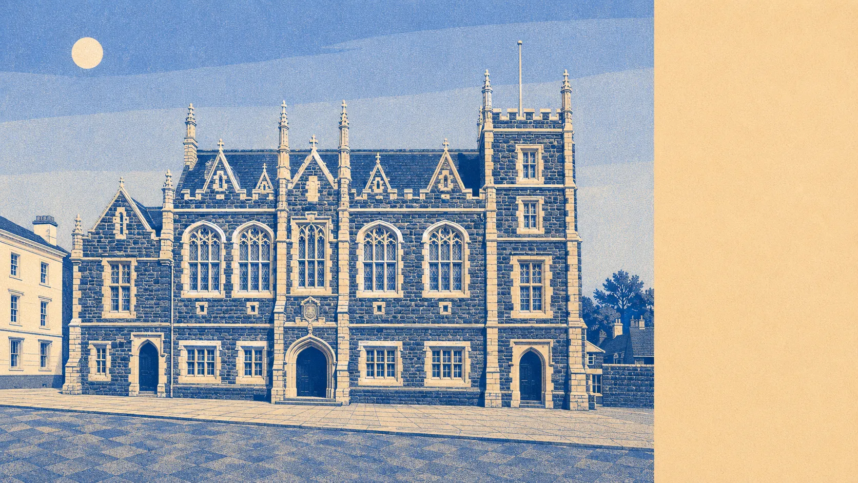
The area around Tavistock is the reason people tolerate everything else about it. Green space starts at roughly the end of the drive. Water is barely further. The moor begins where the houses stop, without much ceremony about the transition. Most towns sell you a view. This one simply has one and has never thought to charge for it.
The green space access is the sort of figure that usually belongs to a country park rather than a town. The average address here sits about 135 metres from the nearest green space, with around 25 separate spaces inside a kilometre. That is not one big park doing all the work. It is a scatter of commons, playing fields, churchyards and moorland edge, which is why the dog walk and the school run frequently use the same gate.
Water is close to constant. The average postcode sits about 230 metres from blue space, with roughly 48 separate stretches of water within a kilometre. Living beside the Tavy on the fringe of Dartmoor means rivers, leats and the old canal cuttings towards Morwellham Quay are part of the everyday geography rather than a day out.
Getting into it is easy on two wheels as well as two feet. The National Cycle Network runs an average of about 220 metres from a Tavistock postcode, and 90% of postcodes sit close to it. For a rural town with no station, that is the most useful piece of transport infrastructure nobody mentions in the listings.
The high street is bigger than the population suggests. The rating list carries 191 shop premises, 15 pubs and 3 restaurants across the area, and 99 food outlets hold a published hygiene rating. Fifteen pubs against three restaurants tells you what kind of evening the town was designed around, and nobody here has confused the two.
Air quality is measured for the council area rather than the town itself, and fine particle pollution across West Devon averaged 4.9 micrograms per cubic metre in 2024.
The surrounding villages do most of the character work. Peter Tavy and Mary Tavy sit north towards the moor, Whitchurch and Grenofen south, Gulworthy west towards the Tamar valley, and each has its own conservation area or its own claim on the same river. Whitchurch Down is where the town runs out and Dartmoor begins, complete with wayside crosses that predate every building in Bedford Square.
Private outdoor space is the part the public green space figures hide. Across the eight neighbourhood areas covered here, gardens amount to roughly 190,000 square metres for every 1,000 residents. Whatever else you compromise on in Tavistock, a garden is not it.
Commercially, the valuation list records 589 rateable premises across the area, including 134 offices alongside the shops and pubs, and 54 holiday lets. Those are premises on a list rather than businesses currently trading, which is worth remembering before assuming every shopfront is occupied. The holiday-let count is the number to watch if you care about who your neighbours are in February.
On food, 79% of the 99 rated premises hold the top hygiene score and 1% sit at the bottom of the scale. For a town whose eating out is mostly pub-shaped, that is a better record than most places manage.
One honest absence: no area of outstanding natural beauty, no site of special scientific interest and no ancient woodland overlaps the area covered here. The national park boundary sits alongside rather than across it. That does not make the landscape any less good. It does mean the protections you might assume are automatic are not, and the surroundings are held in place by planning policy rather than by designation.
The surroundings are the strongest thing Tavistock has going for it, and it is not close. Green space, water and gardens all sit within a few hundred metres of the average front door, which is a combination most towns can only manage one of.