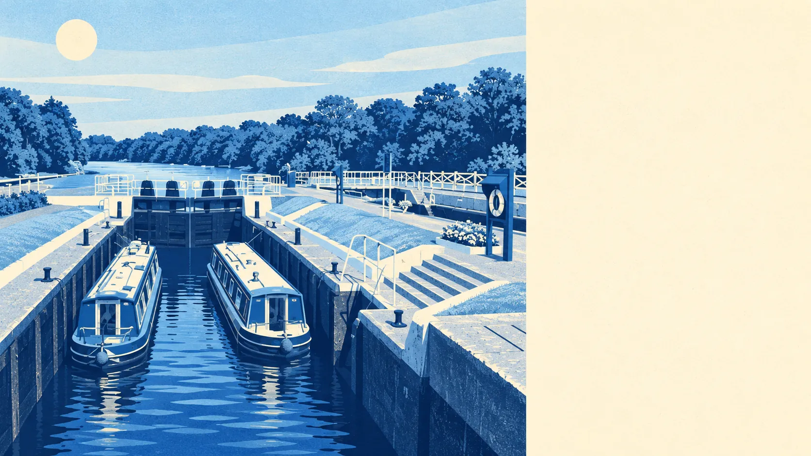
Yes, as long as the river is the reason you came and the price is something you've made peace with. Two in three households own their home. There's a park a few minutes' walk from almost any front door. A typical sale now clears half a million. Sunbury is a good place to live where the Thames ends up in the price even on streets that never see it.
Most of Sunbury was built after the war. On the council's valuation list, which covers every home, about 26% are terraced, 24% semi-detached, 24% flats, 15% detached and 9% bungalows, and only 13% were built before 1930. The Georgian frontages in Lower Sunbury get photographed, but they're a small corner of the stock. On energy certificates, just over half the homes are rated C or better, about 37% are D and 10% are E or worse. About 76% heat with mains gas and 12% with electricity alone. Hawke House sums the place up. Admiral Hawke's Georgian home still stands on the river, and the land behind it was carved into detached houses with gardens in the mid twentieth century.
The Land Registry recorded 200 sales in the twelve months to mid-May 2026, at a median of about £505,000. By type, that came to about £290,000 for a flat, £470,000 for a terrace, £565,000 for a semi and £765,000 for a detached house. Band D is the most common council-tax band, and only 4% of homes are in bands A or B. For a first-time buyer, the cheap end of the valuation list barely exists.
Spelthorne's typical private rent was about £1,630 a month as of April 2026, according to the Office for National Statistics index. That figure is a mean for the whole borough, so riverside flats and the streets around Sunbury Cross go into the same pot. About a third of Sunbury's households rent, roughly 17% privately and 14% from social landlords. One borough-wide average can't tell you much about a town where some front doors open onto a footbridge over the Thames.
Police figures for the year to May 2026 put Sunbury at about 83 crimes per 1,000 residents, roughly 9% below the Spelthorne average of about 91. Violence and sexual offences make up 37% of the total, close to the national 35%. Public order offences are a bit higher than usual, at about 10% against 7% across England and Wales. Surrey Police, whose figure covers the whole county, charged someone in about 11% of cases over the same year, slightly below the national 12%. The Three Fishes on Green Street has been a pub since the late sixteenth century. The town's crime mix looks like a place with pubs and Saturday nights, and the low headline rate holds up.
Sunbury has three stations of its own: Sunbury, Kempton Park and Upper Halliford. At the last census, though, only 3% of workers took the train to work. About 44% drove, and 38% worked from home. There are 118 bus stops, each averaging about 161 weekday departures and nearly ten an hour at peak, and 80% have a weekend service. Gigabit broadband reaches about 94% of premises, and every postcode gets a 4G or 5G signal from at least one operator. Three stations, and most commuters ignore all three.
On the Environment Agency's river-and-sea maps, about 38% of Sunbury falls in flood zone 2 and about 4% in zone 3. Taking a wider measure, 8% of postcodes are high-risk and 11% medium-risk on at least one flood indicator, surface water included. The Environment Agency has 46 recorded flood events here, the latest in February 2014. Sunbury House was mostly destroyed by a flood on New Year's Eve 1915, and only its two wings survived. The agent's particulars won't tell you what happened to a particular house in February 2014, so ask the seller and an insurer directly. On green space, the town does very well. The nearest park or open space is about 170 metres away on average, with around 21 within a kilometre. On average, open water is about 380 metres away, whether that's the Thames, the lock or the reservoirs.
Sunbury has 66 listed buildings. Four are Grade II*, St Mary's Church among them, and 62 are Grade II. None is Grade I. There are five conservation areas, covering Lower Sunbury, Lower Halliford, Upper Halliford, Hanworth Road and Walton Riverside. Inside them, new windows, extensions and front walls need more paperwork than on the post-war streets. Then there's Cloven Barrow, a prehistoric burial mound near Cedars Recreation Ground that was named in a charter from around 962. Someone has built a greenhouse on its western side. Expect a conservation officer to look harder at your sash windows than anyone ever looked at that greenhouse.
About 68% of households own their home, the median resident is 41, and the Office for National Statistics models average gross household income at about £67,400 for the financial year to March 2023, averaged across the surrounding neighbourhoods. The Salvation Army's high council has been based at Sunbury Court since 1925. That makes it one of the longest-standing residents in a town where people tend to arrive with a mortgage and stay.
Sunbury suits a family that wants a semi with a garden, a park at the end of the road and a river walk at weekends, and drives to work or works from home. It suits people who like the Thames as a neighbour. They want rowing clubs and locks nearby without paying for a riverside postcode inside London.
It suits people less well if they want period character, because pre-1930 homes are scarce. First-time buyers hoping for a cheap house won't find many. Nor will anyone without a car who needs a hospital often. On the Department for Transport's modelled 2019 figures, the nearest hospital takes about 41 minutes by public transport and about 20 by car, and bus timetables have changed since 2019.
Sunbury is a good place to live, and its real strength is what surrounds it: parks a short walk from most doors, water closer than the supermarket for plenty of homes, and very little sense of being boxed in. The weak spot is value, with a median above half a million and almost nothing in the cheap council-tax bands. You pay riverside money for a mostly post-war town. Most people who do it end up walking the towpath more than they ever expected to.