The surroundings of St Luke's are much greener than its postcode suggests. Some green space is within a short walk of almost every front door. Water is close by. The streets are full of offices and restaurants. A private garden is the one thing almost nobody here has.
On average, the nearest green space is about 70 metres from a St Luke's postcode, and about 83 green spaces lie within a kilometre. Most of them are small squares and estate lawns rather than parks, but having that many that close is unusual for the edge of the City. A first-time visitor expects concrete and finds trees on most corners.
The nearest water is on average about 360 metres away, and about 33 bodies of water lie within a kilometre. The best-known is City Road Basin on the Regent's Canal, where the towpath runs alongside the water. For a district with no river of its own, that is a fair amount of water to walk past.
The nearest route on the National Cycle Network is about 2 kilometres away on average, and no postcode here counts as close to one. None of St Luke's is ancient woodland. Getting out into proper countryside here starts with a train ticket.
The rated-premises list counts 256 shops, 30 pubs and 53 restaurants. Shops lead by a long way, though the restaurants and pubs get far more use than the count suggests.
The Department for Environment, Food and Rural Affairs' modelled fine-particle level for Islington was about 9.7 micrograms per cubic metre in 2024.
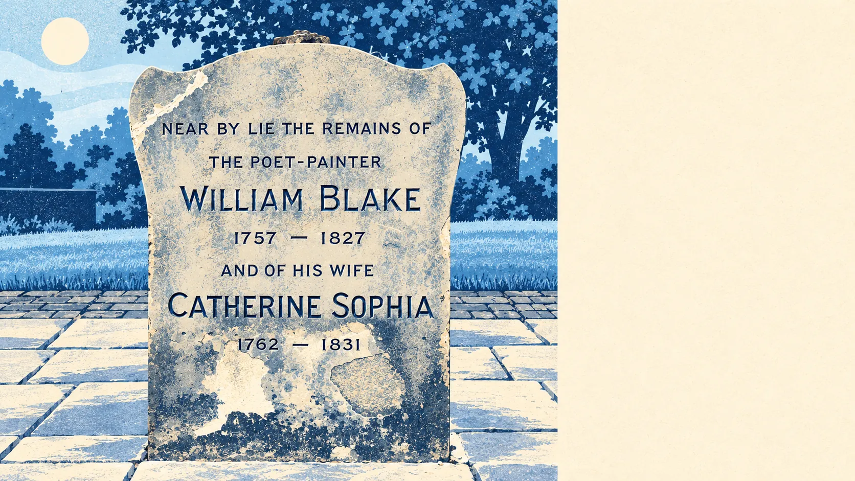
The places themselves are what give St Luke's its character. Whitecross Street Market runs a small general market every weekday and a larger food market on Thursdays and Fridays. The Golden Lane Estate's landscaping and the Barbican's gardens sit on the southern edge, and Bunhill Fields gives the area an old burial ground's worth of trees. Ironmonger Row Baths began in 1931 as a public wash house and added Turkish baths in 1938, which is as close as St Luke's has come to being a spa town.
Private outdoor space is scarce. Across the area there are about 3,450 square metres of private garden for every 1,000 residents, which in a district of flats mostly means balconies, roof terraces and shared courtyards. If outdoor space matters to you, confirm the balcony is actually part of the flat, because a shared courtyard can turn out to belong to the management company in practice.
The valuation list behind business rates holds 2,402 rateable premises in St Luke's, and offices are the largest category by far, with 1,461. These are premises on a list and may not all be trading. In the daytime the area belongs to people at desks, and the residents get it back in the evening.
Of 287 food premises with a hygiene rating, about 71% have the top score of five and about 5% sit at the bottom of the scale. Most places, then, are clean enough to eat in.
No protected-landscape designation touches St Luke's: no area of outstanding natural beauty, no site of special scientific interest and no ancient woodland. In an area like this, the protection goes to buildings, and the green space is mostly made up of squares, estate gardens and the burial ground.
The surroundings are one of the best things about St Luke's. You can live in Zone 1 and still reach trees and water before you reach the bus stop.