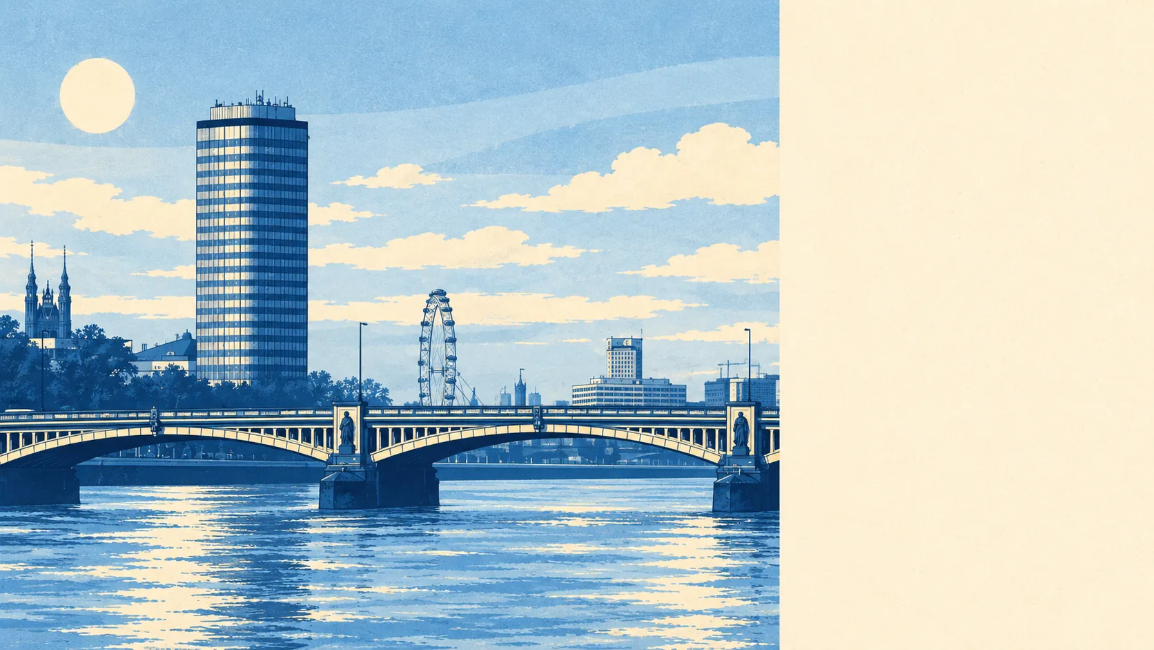
Yes, South Lambeth is at serious flood risk, and only the river walls keep it from showing. About two-thirds of the district sits in the highest river flood zone. Allow for climate change and it is nearly all of it. The homes are protected by defences along the Thames, and they are a long way out of sight. Most people living here never think about the river, because the walls are doing their job.
On the Environment Agency's river-and-sea mapping, about 65% of South Lambeth's postcodes are in Flood Zone 3, the high-probability band, and another 3% are in Flood Zone 2, the medium-probability fringe beyond it. The zones count each postcode once, which is why the second figure is so much smaller. They are drawn as if the defences were not there, and in a district this close to the Thames that leaves most of the map coloured in.
The Environment Agency maps surface water separately, as the rain that floods streets and basements before it ever reaches a river, and it is part of the postcode picture further down this page. In a district that is mostly flats, the homes most exposed to it are the ones below street level. Water runs downhill, and in South Lambeth the bottom of the hill is often somebody's basement flat.
Under the Environment Agency's climate-change allowance, the share of South Lambeth inside the flood zone rises to about 92%. That is a modelled scenario for a warmer future. It shows how thin the margin becomes if the river runs higher, and it does not say that anything will flood or when.
For insurance, the zone your postcode falls in matters, and the floor your flat is on usually matters more. A ground-floor or basement flat in Flood Zone 3 is a different proposition for an insurer from the same building's fourth floor. Get a quote for the exact flat, including the floor it is on, and get it early in the purchase, because the price of cover is part of the price of the home.
Across all the Environment Agency's flood measures together, rivers, sea and surface water, about 11% of South Lambeth's postcodes are rated high risk on at least one of them, about 19% medium and about 50% low. A postcode only needs one measure to qualify, so these shares tell you how widely some kind of flood risk is spread, and they are a separate count from the river zones above.
What protects the district is the defences. With the defences taken out of the Environment Agency's modelling, about 27% of postcodes fall inside the high-probability flood extent. With them included, none do. "Defended" means a wall or barrier is in the model, and it only stays true while that defence is maintained and holds. The agency's property-level assessment, which counts defences, puts no homes at high or medium risk from the river and about 7,700 at very low risk. The last river flood it records came in 1928, when the Thames came over the defences. That same flood finished off the old Lambeth Bridge, which was closed and demolished afterwards.
The nearest tide gauge with a long record is at Portsmouth, which recorded sea level rising by about 2 millimetres a year between 1962 and 2023. That is what the gauge measured over that period on the south coast, and the Thames through Lambeth is a long way upriver from it.
South Lambeth's flood risk is poor. The walls hold it back, but the maps show what would happen if they didn't.