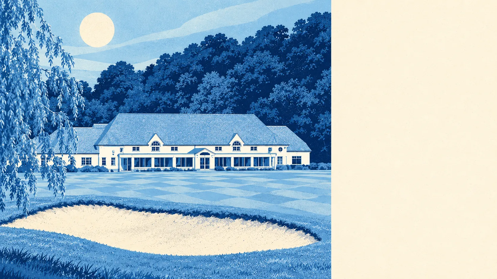
The area around South Croydon is green, gardened and much less urban than the word Croydon leads people to expect. A park or playing field is a couple of minutes' walk from most homes. Private gardens are generous. Open water is scarce. The wooded hill and the playing fields shape the place more than any high street does.
Green space is everywhere. Homes here are about 180 metres from the nearest green space on average, with around 17 green spaces within a kilometre. Purley Way Playing Fields lie to the west, Croham Hurst rises on the eastern side, and Haling Grove is a hidden pocket of green and gardens tucked between Pampisford Road and the main road. The Whitgift playing fields host international cricket and rugby, which gives some of the area's neighbours a better view of a test match than most ticket holders get.
Water is the gap. The nearest blue space is about 1.3 kilometres away on average, with roughly one within a kilometre. The river that once rose in the valley is now culverted out of sight, so a stroll by the water means a trip somewhere else.
The National Cycle Network is about 3.2 kilometres away on average, and practically no postcodes are close to it. Cyclists here are on the roads and the hills, which on the climb towards Selsdon and Sanderstead counts as training.
Croham Hurst is the landmark worth climbing. Oak and hazel cover the lower slopes on chalk, beech grows higher up on the Thanet Sands, and the top is a cap of hard pebble beds with heather and bilberry growing between the stones, left over from when the area lay under a shallow sea. Not many London suburbs have a heathland hilltop that started out as a seabed.
Gardens are where the space really is. There is about 113,000 square metres of private garden for every 1,000 residents, measured across all 41 neighbourhood areas. That makes a garden part of the normal deal here, and in a borough with as many flats as Croydon that counts for a lot.
On the high street, the rated-premises records count 338 shops, 14 restaurants and 6 pubs. Six pubs is a small number for an area this size, and choosing a local takes about one evening.
The business rating list has 791 rateable premises in the area, led by 337 shop premises and 156 offices. These are entries on the valuation list, not a count of businesses open today, and an empty unit still counts as a shop premises until somebody changes the listing.
Of the 259 food premises with a hygiene rating, about 64% hold the top score of five and about 4% sit at the low end. That is a solid record for somewhere this busy.
Fine-particle air pollution across the Croydon council area averaged about 8 micrograms per cubic metre in 2024. That is a borough-wide figure, and it covers the town centre and the main roads as well as the wooded slopes.
The national designation datasets record no area of outstanding natural beauty, site of special scientific interest or ancient woodland inside the postcode boundary used here. The green in South Croydon is parks, playing fields, gardens and a famous hill, and none of it needs a designation to work.
South Croydon's surroundings are one of its real strengths. Green space is close to every street, the gardens are big, and the only thing missing is water.