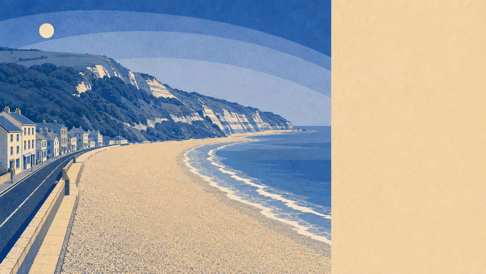
Green, wet, and far closer to hand than the price of the houses suggests. Open space starts a couple of hundred metres from the average front door. Water is barely further away than that. Iron Age hill forts, a Roman settlement and a scatter of villages sit within a short drive. The surroundings are the best thing this town has, and unlike most seaside places it does not need to oversell them.
On the mapped access figures, the average Seaton address sits about 210 metres from its nearest green space, with roughly 18 separate green spaces inside a kilometre. That is not one municipal park doing all the work for a whole town. It is a scatter of them, close enough that going out for air is a decision made on the doorstep rather than in the car.
Water is the same story. Open water sits about 280 metres from the average address, with around 37 blue spaces within a kilometre, which is what happens when a town is built between an estuary and a bay. Very few places in England put that much water inside a fifteen-minute walk of the average house.
Getting out into it is straightforward. The National Cycle Network passes about 300 metres from the average address, and 79% of the town's postcodes sit close to it, so the traffic-free option exists for most households rather than for the lucky few near a trailhead. There is no ancient woodland within the area, so the walking here is coast, estuary and open ground rather than old forest.
The high street is real rather than nostalgic. The rating list carries 543 premises across the area, among them 122 shops, 32 offices, 12 pubs and 9 restaurants. It also carries 150 holiday lets, which outnumber the shops and tell you exactly which industry underwrites the place. Those are premises on a valuation list rather than a guarantee that every unit has a trading business behind it, so treat the count as the shape of the town rather than a shopping directory.
Air quality is decent. Fine-particle levels for the council area averaged 5.2 micrograms per cubic metre in 2024, which is the figure for the whole East Devon area rather than any individual street.
The character comes from the coast and the estuary rather than from anything the town has built. Seaton faces onto Lyme Bay with the Jurassic Coast running either side of it, the River Axe comes down to a small harbour at one end, and the hills behind carry a promontory fort on Seaton Down and a Roman settlement at Honeyditches. Beer sits immediately west with its own conservation area, Branscombe beyond that, and Axmouth across the water. None of these are far, all of them are small, and collectively they explain why people who move here stop talking about anything except the walks.
Private outdoor space holds up too, at about 219,000 square metres of garden for every 1,000 residents. Households here have their own patch, which matters more day to day than any statistic about how much of the map is green.
Eating out is safer than the national average would lead you to expect. Of the 68 food premises with a published hygiene rating, 88% hold the top score and 3% sit at the bottom end of the scale. Which premises those are is a matter of public record, and nobody needs to guess.
One honest absence: no area of outstanding natural beauty, no site of special scientific interest and no ancient woodland overlaps this area. The scenery here is not carrying a national designation. It is simply there, unprotected and unbothered, doing the job anyway.
The area around the town is its strongest asset by a distance. Green space, open water and traffic-free routes are all within a few minutes of most front doors, and there is no version of a bad walk from this postcode.