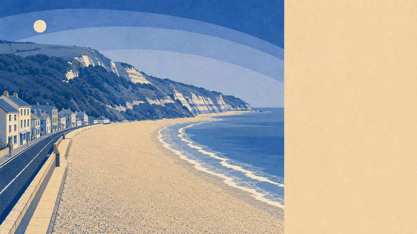
Yes in specific places, and no across most of the town. Seaton sits where the River Axe estuary meets Lyme Bay, which is a geography that comes with views and consequences. Around one postcode in ten falls inside the highest river-and-sea flood zone. Around seventy homes carry a high risk from rivers and the sea. This is a street-level question wearing a town-level headline, and the average tells you almost nothing useful about the house you are actually looking at.
The Environment Agency's river-and-sea mapping puts 10% of Seaton's postcodes in flood zone 3, the highest-probability band, and 3% in flood zone 2. Those two bands are exclusive rather than nested. Zone 2 is the additional medium-probability fringe sitting beyond zone 3, which is why it is the smaller of the two numbers here and not a contradiction.
Surface water is the risk that ignores the estuary altogether, arriving off roads and roofs during heavy rain in streets the river will never reach. It is not published as a separate share for this area, sitting instead inside the combined postcode indicators below. What is recorded separately is history: 13% of the town's postcodes fall within areas of past flooding mapped by the Environment Agency.
Looking forward rather than back, 1% of postcodes fall inside the flood zone once a climate-change allowance is applied to the modelling. That is a modelled extent for a future scenario rather than a prediction of any particular decade.
For insurance, the number that matters is the one attached to your address, not the one attached to the town. Insurers price flood cover street by street and sometimes house by house, and in a place where the risk is this concentrated the difference between two properties a few hundred metres apart can be the difference between an ordinary premium and a difficult conversation. Get an indicative quote for the specific address before instructing a solicitor rather than after.
On the combined postcode indicators, which fold surface water in alongside rivers and the sea, 13% of Seaton postcodes rate high on at least one measure, 20% medium and 37% low. Those bands overlap with the flood-zone shares above rather than adding to them, so nobody should be stacking the percentages into a total.
Counted as homes rather than postcodes, the Environment Agency's rivers-and-sea mapping lists 1,049 properties across the postcodes that carry any risk at all, and postcodes with no risk do not appear in that count. Of those properties, 68 sit at high risk, 127 at medium, 481 at low and 22 at very low. Of the high-risk properties, 39 are residential, which is the number a buyer should hold onto: this is a few dozen homes, and they are findable.
Whether anything stands between the water and the building is the question most flood summaries skip. In the modelled high-risk extent, 11% of postcodes have no defence present in the model at all, while 3% do. A defence in the model is not a guarantee of a dry floor. The town has 39 recorded flood events on file, and the most recent, in February 2014, was the sea overtopping the defences that were already there.
Proximity explains most of it. Roughly 39% of Seaton's postcodes sit within 500 metres of the coast, which is a threshold the mapping uses rather than a judgement on any address, and the closest postcode sits 38 metres from the water. The median is about 640 metres, so the typical home is further back than the seafront reputation suggests.
Every postcode in the town is covered by a shoreline management plan, and the policy across the 20, 50 and 100-year horizons is hold the line. That is a stated intention to maintain defences on their current alignment. It is not a promise, not a budget, and not evidence that a defence already exists at any given point.
At the nearest tide gauge, at Devonport, sea level rose at a measured 2.35 millimetres a year across the 1962 to 2015 record. That is what the instrument recorded over those decades rather than a forecast of what comes next.
Flood risk here sits in the middle of the pack: genuine, concentrated in a small number of identifiable homes near the estuary and the front, and irrelevant to most of the town. Two houses ten minutes' walk apart can give completely different answers, so the only honest version of this check is the one done on a full address.