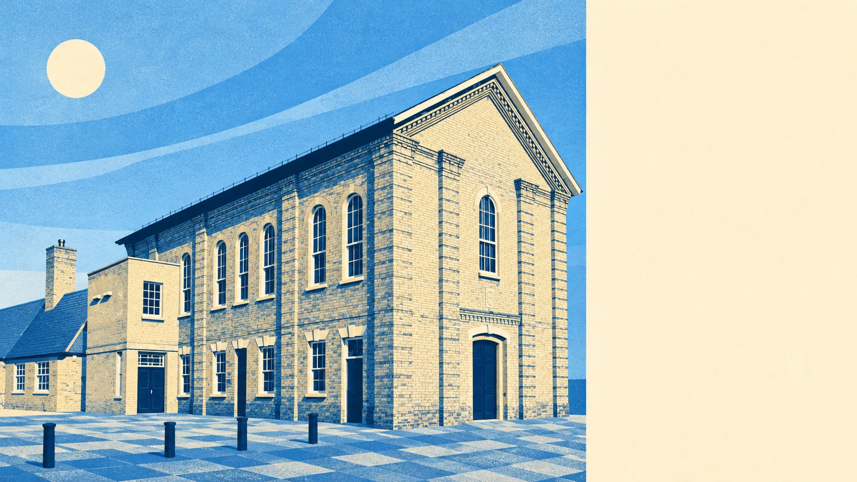
Royston is a chalk-downs town with a heath on its doorstep and green space at the end of most roads. The average home is a couple of minutes' walk from a park. More than twenty green spaces lie within a kilometre. Gardens are generous. The countryside around it carries no official designation, and walkers use it heavily anyway.
The average home in Royston is about 150 metres from public green space, with 22 green spaces within a kilometre. The biggest is Therfield Heath, the open common and nature reserve on the hill to the south-west, where prehistoric barrows line the ridge and the town's dog walkers outnumber the archaeologists most mornings.
Water is less close. The nearest river, pond or lake is about 970 metres from the average home, with about 3 within a kilometre. The town grew up where two ancient roads crossed, and neither the Romans nor anyone before them needed a river to make the crossing worthwhile.
The National Cycle Network passes about 440 metres from the average home, and about 62% of postcodes are close to a route. The Icknield Way Path runs through on its long stretch from Buckinghamshire to Suffolk, so Royston's walkers can set off from the edge of town on a path older than the town itself.
The valuation list puts 176 shops, 33 pubs and 15 restaurants in the area. Royston is a market town that kept its market-town habits, and it has more than twice as many pubs as restaurants. People here eat in the pub more often than anywhere else.
Fine-particle air pollution across North Hertfordshire averaged about 7.2 micrograms per cubic metre in 2024, a district-wide figure that covers the farmland as well as the town.
The town sits on the northern slopes of the chalk downs, with the old centre around Royston Cave and the crossroads, and post-war and newer streets spread out from it. Beyond the edge, Therfield and Reed sit up on the chalk ridge, Barley and Barkway lie to the south-east, and Litlington, Whaddon and the Mordens spread north-west into Cambridgeshire. William Cobbett found the approach gloomy and the town plain. The villages he passed on the way have done rather well out of the view since.
Private gardens are generous, at about 98,000 square metres per 1,000 residents across the town's neighbourhoods. Measured per resident, it is the figure that shows how much outdoor space households here have. Royston's semis come with lawns, and on a hot weekend most residents can sit in their own garden instead of competing for the heath.
The valuation list counts 490 non-domestic premises in the area. Offices are the second-largest category, at 92, with 55 warehouses and dozens more industrial units behind them. Those are premises on the rating list, which is not the same as businesses currently trading, but they describe a town that works here as well as sleeps here.
The Food Standards Agency has rated 91 food premises in the area. About 76% hold the top score of five, and about 1% sit at the bottom. Eating out in Royston carries little risk to the stomach, and the town keeps its kitchens clean.
None of the area overlaps an Area of Outstanding Natural Beauty, a Site of Special Scientific Interest or any recorded ancient woodland. The chalk around Royston has done without official protection and is still the reason most people end up on the heath.
The surroundings are one of Royston's real strengths, with green space close to almost every house, gardens of a decent size and open chalk downland a short walk from the High Street.