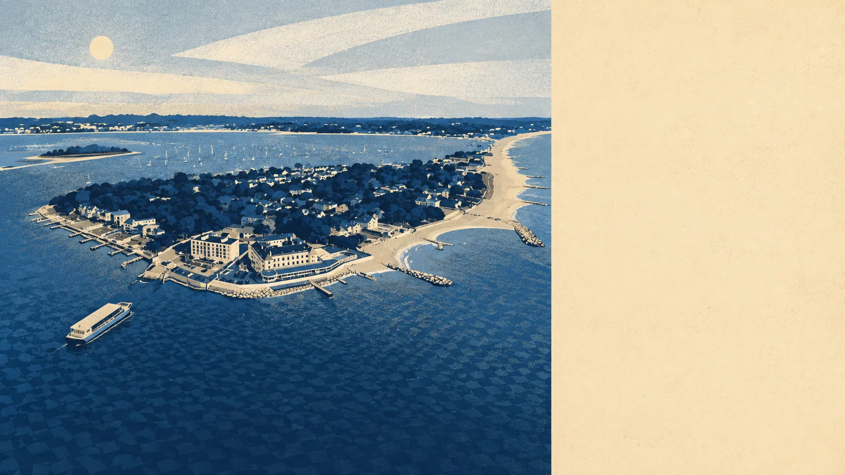
Parts of it, and which parts is the whole question. The river and sea zones cover a thin band of the town. The combined indicators reach a good deal wider. One postcode sits four metres from the water while the middle of the town sits well over a kilometre back. Poole's flood risk is a fact about an address, not a fact about a place name.
The Environment Agency's flood zones put about 2% of Poole's postcodes in zone 3, the highest-probability band for flooding from rivers and the sea, and about 1% in zone 2. Zone 2 is the additional medium-probability fringe lying beyond zone 3 rather than a wrapper containing it, so the smaller figure is the mapping working correctly and not a misprint.
The recorded history is short. Four flood events appear on the register for the area, the most recent in December 1989, caused by sea water overtopping defences. Surface water is not published as its own share at postcode level here; it is folded into the combined indicators further down, which is why those numbers run higher than the river-and-sea zones.
Build in the climate allowance and the shape changes. About 15% of Poole's postcodes fall inside the Environment Agency's climate-adjusted flood zone, which models where water reaches once sea level rise and heavier rainfall are accounted for. If you intend to own the place in thirty years, that is the figure that concerns you rather than today's zone map.
For insurance, none of this is town-wide. Cover and premiums are set on the individual address and its flood history, so the sensible move is an indicative quote on the specific property before you instruct a solicitor, not after the survey has already been paid for.
Across roughly 3,180 Poole postcodes assessed, about 11% rate high on at least one flood indicator, about 13% medium and about 22% low. The phrase at least one measure is doing real work there: this count folds surface water in alongside rivers and sea, so it overlaps the flood-zone shares rather than adding to them. Anyone stacking the two sets of numbers together will arrive at a frightening figure that describes nothing.
Counted as homes rather than postcodes, the Environment Agency's rivers and sea mapping lists 5,557 Poole properties carrying some level of risk, spread across 166 postcodes. Of those, 360 sit at high risk, 396 at medium and 1,164 at low, with 184 of the high-risk properties residential. Only postcodes carrying some risk appear on that list at all, so the rest of the town is absent by design rather than overlooked.
On defences, just over 2% of postcodes sit inside a modelled high-risk extent with no defence present, and just under 2% inside a high-risk extent where a defence is present in the model. Around 3% sit inside a low-risk undefended extent. Defended describes the model rather than the outcome. It means something has been built, not that it holds, and the last recorded flood event here was defences being overtopped.
About 22% of Poole postcodes sit within 500 metres of the coast, which is a threshold the data draws rather than a verdict on any single address. The nearest sits four metres from the water. The median sits about 1,560 metres back.
Every Poole postcode falls under a shoreline management plan, and the stated policy across the twenty, fifty and hundred year horizons is to hold the line, meaning maintain the defences where they currently stand. A stated policy is an intention that gets reviewed and revised. It is not a guarantee, and it is not a defence that already exists.
At the nearest long-record tide gauge, at Portsmouth, sea level has been measured rising at about 2 millimetres a year across the 1962 to 2023 record. That is measured history rather than a forecast, and it is the reason the climate-adjusted zone is drawn wider than today's.
Middling is the honest reading here. The town-wide exposure is unremarkable, the address-level exposure runs from irrelevant to genuinely serious, and nothing about Poole's reputation will tell you which one you are buying.