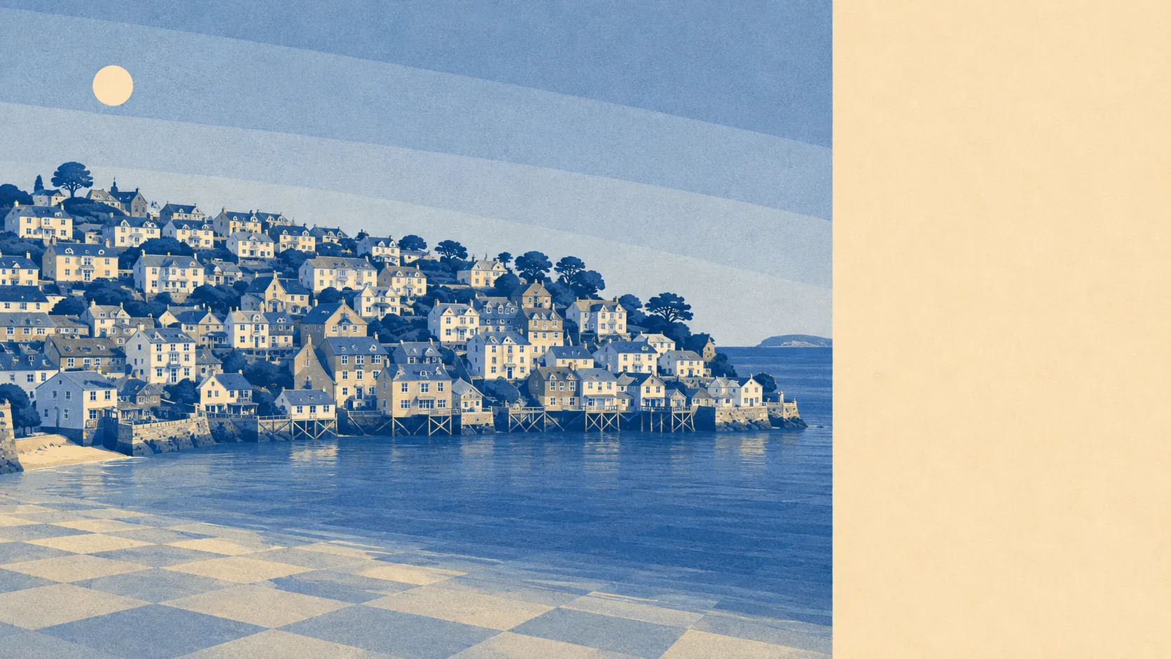
The surroundings are the best thing here, and it is not a close contest. Green space starts within a couple of minutes of most front doors. Water is closer still. There is no motorway, no retail park and no protected landscape designation to explain any of it, because the setting does the job on its own. This is a village that did not need a designation to be worth looking at.
Green space is unusually accessible even by rural standards. The average postcode here sits roughly 130 metres from open green space, with about eight separate green spaces within a kilometre. That is the practical difference between countryside you have to drive to and countryside you walk into by accident on the way back from the shop.
Water is closer than the grass. The average distance to blue space is around 160 metres, with roughly 53 pieces of water within a kilometre, which is what happens when a village is wrapped around a river mouth, a creek and the open Channel. Pont Creek to the north is the quiet one, the River Fowey does the traffic, and the sea takes over south of the headland.
For anyone hoping to cycle out of it, the news is worse. The nearest National Cycle Network route sits about 5,600 metres away, and 0% of postcodes here count as close to one. There is no ancient woodland recorded in the area either. Getting into the landscape is done on foot or by boat, which suits the terrain better than a bicycle ever would.
The amenity mix across the wider area runs to 73 shop premises, 10 pubs and two restaurant premises, which is a ratio that tells you exactly what people come here to do. Only three food premises in the immediate area carry a hygiene rating, and all three sit at the top score, with none at the bottom of the scale. A small sample, and a clean one.
Air quality is good in the way rural coastal Cornwall usually is: fine particle levels averaged about 5 micrograms per cubic metre across the Cornwall council area in 2024. That is a council-wide figure rather than a village measurement, and this village has no through traffic to add to it.
The character of the surrounding area is small settlements, water and steep ground. Lanteglos Highway, Lescrow, Mixtow and Newtown sit in the immediate orbit, with conservation areas at Bodinnick, Fowey and Polkerris nearby, and the Menabilly estate and its registered park to the west. There is very little between these places except fields, creek and coast path, which is either the entire appeal or an immediate deal-breaker.
Private outdoor space is genuinely generous, whatever the terraced frontages suggest. The area holds roughly 576,000 square metres of private garden per thousand residents, which is a lot of hedge for anybody who was expecting a village of yard-sized courtyards. The plots run back and up rather than sideways.
On the valuation list, the area carries 94 rateable premises in total, which is the honest measure of how much commercial activity exists here. The wider area also records 289 holiday lets and 20 office premises. Rateable premises are not the same as businesses currently trading, so treat that as the shape of the local economy rather than a directory, and note which of those categories is the biggest.
Formally, none of this is designated. There is no area of outstanding natural beauty overlapping the village, no site of special scientific interest and no ancient woodland. That is not a criticism, and buyers should not read it as one: this landscape simply falls outside the boundaries that were drawn around other pieces of Cornwall.
The setting is the strongest thing Polruan has, comfortably. Green space and water on the doorstep, clean air, generous gardens and nothing industrial for miles, in a place that never got round to being officially recognised for any of it.